
Cova dels Talps
Petita cova de 73 m. de recorregut a la Serra de l'Obac.
EspeleoWorld
Cova dels Talps
Petita cova de 73 m. de recorregut a la Serra de l'Obac.
Mura · Bages
Length: 73 m · Depth: 2 m
Updated record
https://espeleoworld.com/en/c/cova-dels-talps
Information can change. Always verify coordinates, access, weather, and cave conditions before setting out.
Small cave with a passage length of 73 m in the Serra de l'Obac, discovered, explored and surveyed in 1963 by members of the SES – Talps speleology section of the Centre Excursionista del Vallès (Sabadell).
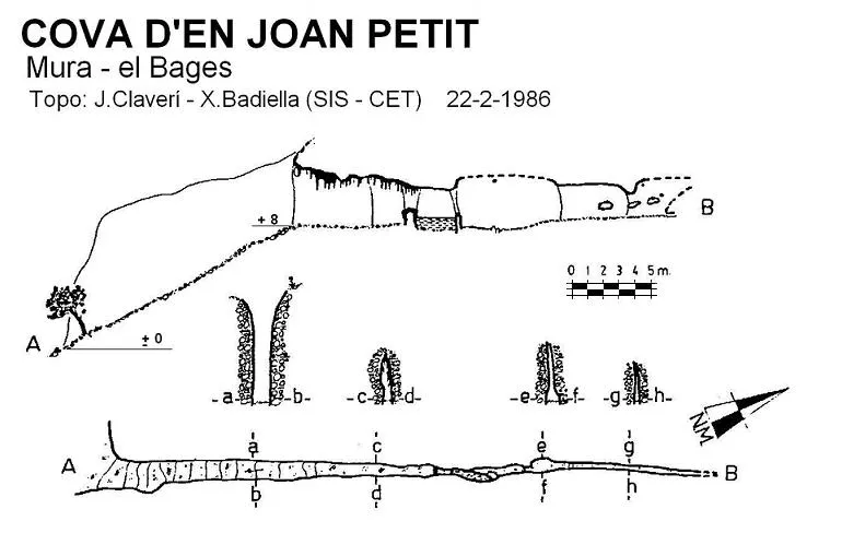
Topographic
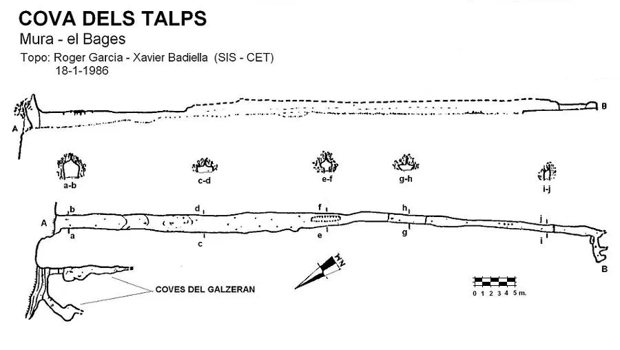
Espeleoindex · CC BY-NC 4.0, https://creativecommons.org/licenses/by-nc/4.0/ · Image © its author.
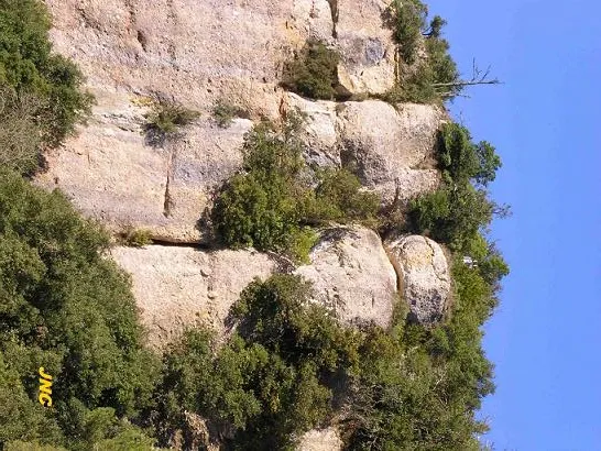
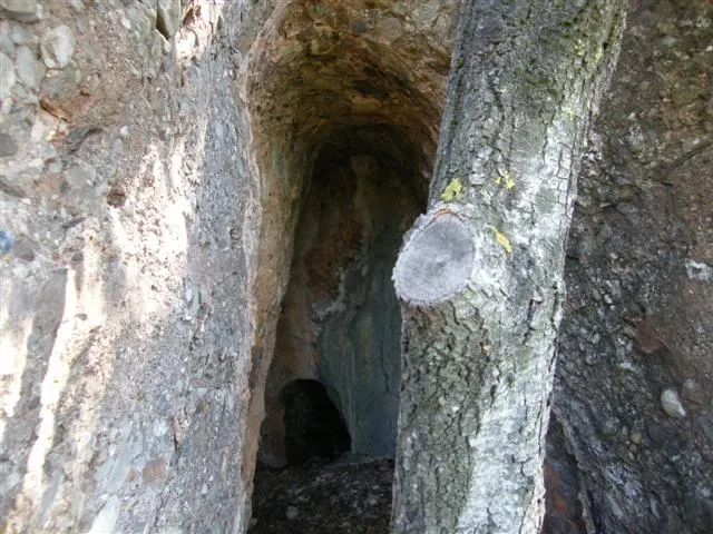
Photos
Espeleoindex · CC BY-NC 4.0, https://creativecommons.org/licenses/by-nc/4.0/ · Image © its author.
Description
Morphology
The cave has an entrance 2 metres high and 1.5 metres wide. The first 10 metres of passage are quite comfortable, but from this point on one must crawl for the rest of the cave. About 18 metres from the entrance, the joint on which the cavity has formed can be seen in the ceiling (see section c-d in the survey); 10 metres further on there is an elongated hollow in the middle of the passage that allows us to crouch. The cave continues just as low, but from here on it becomes a little narrower. The cave continues almost straight until reaching a group of stalagmites that hinder progress; once past them one must advance 15 metres more to reach a small step formed by a layer of flowstone. Above these one can still continue a few metres until the passage turns suddenly to the right and ends 2 metres further on.
Speleothems
There is a group of stalagmites that hinder progress and a small step formed by a layer of flowstone.
Progression
From the top of the cliff one must make a “rappel” of about 12 metres that places us at the cave entrance. Inside, the first 10 metres of passage are quite comfortable, but from this point on one must crawl for the rest of the cave. Something very surprising is the dust that is raised when advancing while crawling; the hands sink into a floor formed of extraordinarily fine dust.
History
Discovered, explored and surveyed in 1963 by members of the now-defunct SES – Talps speleology section of the Centre Excursionista del Vallès (Sabadell).
User Comments (0)
No comments yet.
Be the first to share your experience!
Registered Explorations (0)
No explorations registered yet.
Register your visit to this cave!
Bibliography
- Badiella, X. (1990).- “La Cova dels Talps i altres cavitats de les rodalies” Exploracions (14): 47-50. EC de Gràcia. Barcelona.
- SES-Talps (1968).- “Història de la SES – Talps”. Espeleòleg (7): 256-257. ERE del CEC. Barcelona.
- Coordenades i fotos “JNC” facilitades per Jordi Navarro (Centre Excursionista de Castellar del Vallès).
Nearby caves
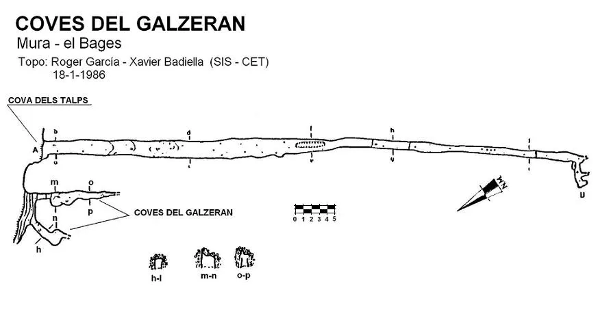
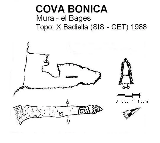


Source: Espeleoindex (espeleoindex.com), modified. CC BY-NC 4.0, https://creativecommons.org/licenses/by-nc/4.0/