
Cova del Pont
Caòtica cova al torrent del Pont (Montserrat)
EspeleoWorld
Cova del Pont
Caòtica cova al torrent del Pont (Montserrat)
Collbató · Baix Llobregat
Length: 67 m · Depth: 12 m
Updated record
https://espeleoworld.com/en/c/cova-del-pont-collbato
Information can change. Always verify coordinates, access, weather, and cave conditions before setting out.
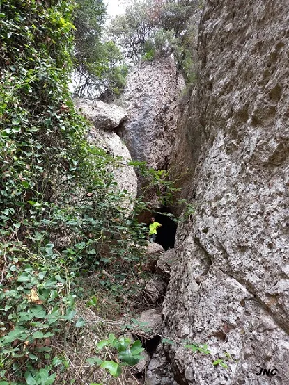
Chaotic cave in the torrent del Pont, in Montserrat, formed by large collapse blocks with three interconnected levels.
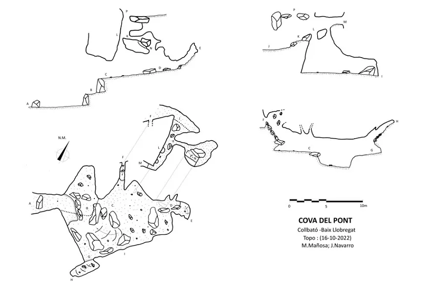
Topographic

Espeleoindex · CC BY-NC 4.0, https://creativecommons.org/licenses/by-nc/4.0/ · Image © its author.
Photos

Espeleoindex · CC BY-NC 4.0, https://creativecommons.org/licenses/by-nc/4.0/ · Image © its author.
Description
Morphology
Cave formed beside the torrent bed from the accumulation of large collapse blocks; it has three distinct levels, interconnected with one another through the spaces between the different voids of the blocks.
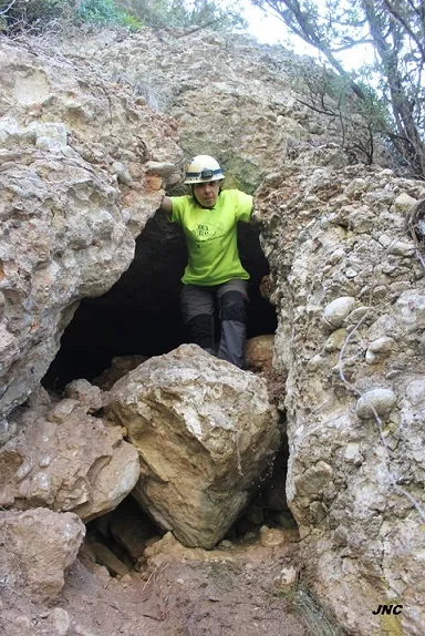
The lower level is entered directly from the torrent through an open-air corridor that leads into the lower part of a distributor; from there, heading up some level of blocks, we will enter the main chamber, of considerable size. The chamber has some branches that quickly come to an end; only the branch heading up located to the N has an exit to the outside through a narrow passage. In the ceiling of the chamber the 3 possible connections with the upper level can be made out.
The upper level is easily entered by heading up the torrent, upstream of the lower level; the streambed narrows and we end up in an ascending gallery that is none other than the upper level of the cavity. In the floor there are two passages between blocks that connect directly with the ceiling of the lower chamber; the third connection is made through a crawlway that gives access to a small room, which also connects with the lower level by means of a lateral step.
At the end of the upper gallery, a window allows one to go out to the outside onto a small balcony over the lower distributor, and in the ceiling of the same gallery there are the connections that give exit again to the torrent and to the highest point of the whole cavity.
History
It is certainly the cavity cited for the first time on Ramon de Semir's map of Montserrat (1949) without any kind of information, and this citation has been carried along in different speleological inventories and in the different editions of the Montserrat map of Editorial Alpina.
It is not until 16-10-20022 that Montse Mañosa and Jordi Navarro visit it and carry out the cataloguing work, until now unpublished.
User Comments (0)
No comments yet.
Be the first to share your experience!
Registered Explorations (0)
No explorations registered yet.
Register your visit to this cave!
Bibliography
- Totes les dades, topografia i fotografies han estat facilitades per Jordi Navarro i Montse Mañosa (Centre Excursionista de Castellar del Vallès)
Nearby caves
Cova del Camí del Pont
0.2 km · S
Collbató (Baix Llobregat)
1 topo.4 photos
Pouetons de l'Artiga
0.5 km · SE
Collbató (Baix Llobregat)
1 topo.2 photos
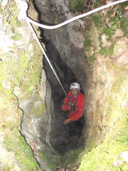
Pou de la Sajolida
0.6 km · N
Collbató (Baix Llobregat)
2 topo.2 photos
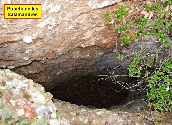
Pouetó de les Salamandres
0.9 km · NE
Collbató (Baix Llobregat)
1 topo.3 photos
Source: Espeleoindex (espeleoindex.com), modified. CC BY-NC 4.0, https://creativecommons.org/licenses/by-nc/4.0/