
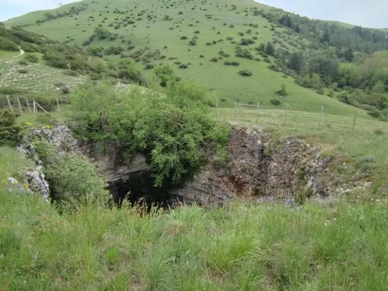
Voragine Pozzale
Bottle-shaped shaft about 30 m wide and 20 m deep, with the bottom occupied by a short gallery filled with debris.
EspeleoWorld
Voragine Pozzale
Bottle-shaped shaft about 30 m wide and 20 m deep, with the bottom occupied by a short gallery filled with debris.
Spoleto
Length: 48 m · Depth: 32 m
Updated record
https://espeleoworld.com/en/c/voragine-pozzale-spoleto
Information can change. Always verify coordinates, access, weather, and cave conditions before setting out.
Bottle-shaped shaft about 30 m wide and 20 m deep, with the bottom occupied by a short gallery filled with debris.
Photos
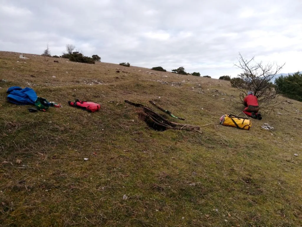
© Mauro Barbieri · LicenseRef-FUGS-media-per-item · Federazione Umbra Gruppi Speleologici (FUGS), Catasto Speleologico dell'Umbria · https://catasto.fugs.it/index.php?mod=caves&op=view&id=3
Description
Morphology
Bottle-shaped shaft about 30 m wide and 20 m deep. From the bottom a short gallery filled with debris branches off. Trend: Predominantly vertical.
Geology: MAI Maiolica - Upper Jurassic-Lower Cretaceous (Tithonian-Aptian); stratified micritic limestones; Stratified; See report by Famiani & Cardinali - 2018. This karst morphology is defined in the scientific literature as synkhole and is generated by the collapse of the ceiling of the pre-existing cavity, whose original structure is visible on the bottom of the shaft in the north-eastern portion of the cavity towards the Fosso di Pozzale.
Hydrology
Hydrology and meteorology: no circulation; no airflow was detected at the entrance - 2018.
Progression
Traversability: Experts only; recommended period All year round. Rigging: Temporary; use the fence posts for the first pitch from the surface. Progression difficulty: Pits. Hazards: Dangerous access, Rockfalls/collapses, Pits that discharge.
History
Notes on the name: It takes its name from the Fosso Pozzale where it is located.
Bio
Environmental and biological protections: No.
User Comments (0)
No comments yet.
Be the first to share your experience!
Registered Explorations (0)
No explorations registered yet.
Register your visit to this cave!
Bibliography
LOTTI B. (1902) Sulla costituzione geologica del gruppo montuoso di Amelia VINASSA DE REGNY P. (1906) Appunti di geologia Umbra PRINCIPI P. (1913) Secondo contributo allo studio dei fenomeni carsici dell'Umbria (Catena dei Monti Martani) LOTTI B. (1917) Il gruppo montuoso del Monte Martano LOTTI B. (1926) Descrizione geologica dell'Umbria MONTANARI R. (1940) I Monti Martani LIPPI BONCAMBI C. (1941) La pedologia della Catena Martana (Umbria) con alcune osservazioni sul fenomeno carsico di essa LIPPI BONCAMBI C. (1950) Sullo stato attuale del Catasto Speleologico dell'Umbria LEMMI G. (1958) Note di aggiornamento del Catasto Speleologico dell'Umbria LEMMI G. & COLETTI G. (1961) Elenco catastale delle grotte dell'Umbria VIVIANI C.G. (1971) L'attività del gruppo Speleologico C.A.I. Perugia nel 1970 TRIPPINI S. (2012) Cose de' pazzi, grotte e vedute dei dintorni dell'antica Civitella FAMIANI F. & CARDINALI R. (2018) Esplorazioni Monti Martani Gennaio-Febbraio 2018
Nearby caves

Source: Catasto Cavità Umbria (Federazione Umbra Gruppi Speleologici, FUGS) (catasto.fugs.it), modified. LicenseRef-FUGS-no-licence-stated Federazione Umbra Gruppi Speleologici (FUGS), Catasto Speleologico dell'Umbria · https://catasto.fugs.it/index.php?mod=caves&op=view&id=3 · data as of 2025 · Source: Catasto Cavità Umbria (Federazione Umbra Gruppi Speleologici, FUGS) (catasto.fugs.it), modified. LicenseRef-FUGS-media-per-item Federazione Umbra Gruppi Speleologici (FUGS), Catasto Speleologico dell'Umbria · data as of 2025