
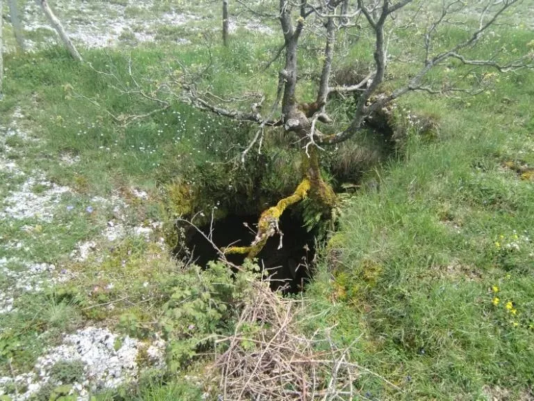
Pozzicola
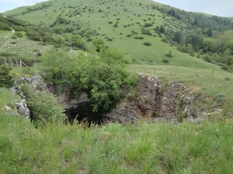
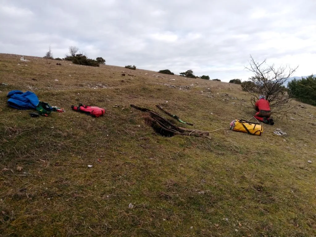
Bell-shaped pit about 8 m deep, with a predominantly vertical trend, bounded by a fence at its entrance.
EspeleoWorld
Pozzicola
Bell-shaped pit about 8 m deep, with a predominantly vertical trend, bounded by a fence at its entrance.
Spoleto
Length: 11 m · Depth: 8 m
Updated record
https://espeleoworld.com/en/c/pozzicola-spoleto-perugia
Information can change. Always verify coordinates, access, weather, and cave conditions before setting out.
Bell-shaped pit about 8 m deep, with a predominantly vertical trend, bounded by a fence at its entrance.
Photos
© Mauro Barbieri · LicenseRef-FUGS-media-per-item · Federazione Umbra Gruppi Speleologici (FUGS), Catasto Speleologico dell'Umbria · https://catasto.fugs.it/index.php?mod=caves&op=view&id=4
Description
Morphology
Bell-shaped pit about 8 m deep. Trend: predominantly vertical. Entrance: cavity bounded by a fence at its entrance, about 2 metres in diameter, with a tree usable for the descent.
Hydrology
Hydrology and meteorology: no circulation; no airflow was detected at the entrance - 2018.
Progression
Traversability: demanding; recommended period all year round. Rigging: temporary. Progression difficulty: shafts. Hazards: dangerous access.
Other details
Geology: MAI Maiolica - Upper Jurassic-Lower Cretaceous (Tithonian-Aptian); stratified micritic limestones; stratified; see report by Famiani & Cardinali - 2018. The cavity formed through the combined effect of the tectonic system that guided the displacements and primary fractures in the limestone formation on which the karst action was established, followed by a gravitational collapse of the vaults with the related accumulation of debris on the bottom.
History
Notes on the name: referred to by Lippi Boncambi as Voragine Pozzicula in the 1950 Cadastral List.
Bio
Other hypogean fauna: troglobitic Carabid beetle: Duvalius consortii Magrini & Degiovanni, 2006; troglobitic Carabid beetle: Duvalius andreuccii Magrini & Vanni, 1984. Bait trapping revealed the presence of two specialized troglobitic species. Studies and monitoring: entomological.
User Comments (0)
No comments yet.
Be the first to share your experience!
Registered Explorations (0)
No explorations registered yet.
Register your visit to this cave!
Bibliography
LOTTI B. (1902) Sulla costituzione geologica del gruppo montuoso di Amelia VINASSA DE REGNY P. (1906) Appunti di geologia Umbra PRINCIPI P. (1913) Secondo contributo allo studio dei fenomeni carsici dell'Umbria (Catena dei Monti Martani) LOTTI B. (1917) Il gruppo montuoso del Monte Martano LOTTI B. (1926) Descrizione geologica dell'Umbria MONTANARI R. (1940) I Monti Martani LIPPI BONCAMBI C. (1941) La pedologia della Catena Martana (Umbria) con alcune osservazioni sul fenomeno carsico di essa LIPPI BONCAMBI C. (1950) Sullo stato attuale del Catasto Speleologico dell'Umbria LEMMI G. (1958) Note di aggiornamento del Catasto Speleologico dell'Umbria LEMMI G. & COLETTI G. (1961) Elenco catastale delle grotte dell'Umbria FAMIANI F. & CARDINALI R. (2018) Esplorazioni Monti Martani Gennaio-Febbraio 2018
Nearby caves

Source: Catasto Cavità Umbria (Federazione Umbra Gruppi Speleologici, FUGS) (catasto.fugs.it), modified. LicenseRef-FUGS-no-licence-stated Federazione Umbra Gruppi Speleologici (FUGS), Catasto Speleologico dell'Umbria · https://catasto.fugs.it/index.php?mod=caves&op=view&id=4 · data as of 2025 · Source: Catasto Cavità Umbria (Federazione Umbra Gruppi Speleologici, FUGS) (catasto.fugs.it), modified. LicenseRef-FUGS-media-per-item Federazione Umbra Gruppi Speleologici (FUGS), Catasto Speleologico dell'Umbria · data as of 2025