
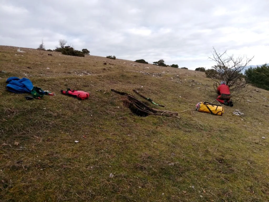
Grotta della Lucertola
Small cavity with two overlapping chambers, accessible via a short initial pit and some narrow passages.
EspeleoWorld
Grotta della Lucertola
Small cavity with two overlapping chambers, accessible via a short initial pit and some narrow passages.
Spoleto
Length: 24 m · Depth: 12 m
Updated record
https://espeleoworld.com/en/c/grotta-della-lucertola-spoleto-perugia
Information can change. Always verify coordinates, access, weather, and cave conditions before setting out.
Small cavity with two overlapping chambers, accessible via a short initial pit and some narrow passages.
Photos
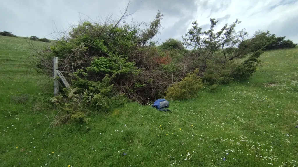
© Mauro Barbieri · LicenseRef-FUGS-media-per-item · Federazione Umbra Gruppi Speleologici (FUGS), Catasto Speleologico dell'Umbria · https://catasto.fugs.it/index.php?mod=caves&op=view&id=1015
Description
Morphology
Small cavity with two overlapping chambers reached via a short initial pit and narrow passages. Trend: mixed. Geology: MAI Maiolica - Upper Jurassic-Lower Cretaceous (Tithonian-Aptian); stratified micritic limestones; widespread, random.
Progression
Traversability: experts only; recommended period all year round. Progression difficulty: pits, slides, narrow passages. Rigging: temporary; a rope to be anchored to a shrub helps the hand ascent from the pit. Hazards: dangerous access, landslides/collapses, pits that discharge.
History
Notes on the name: it takes its name from the recurring finding of a lizard that has fallen inside.
Bio
Bats: bats reported as of 17/02/2025.
User Comments (0)
No comments yet.
Be the first to share your experience!
Registered Explorations (0)
No explorations registered yet.
Register your visit to this cave!
Nearby caves
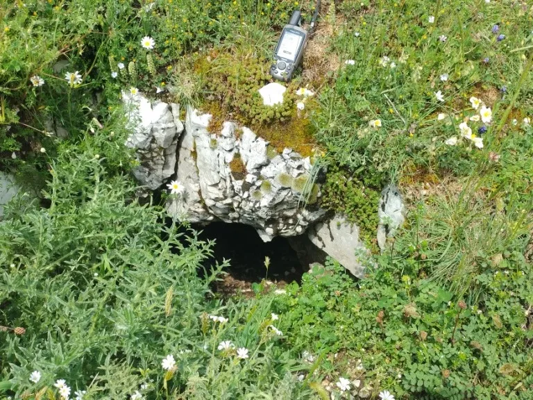
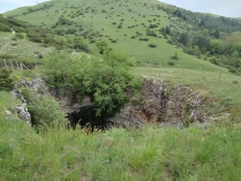
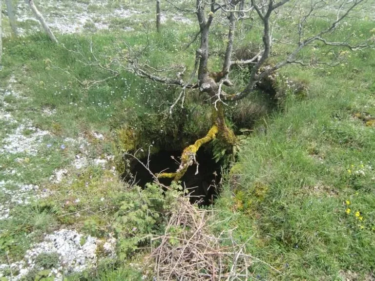

Source: Catasto Cavità Umbria (Federazione Umbra Gruppi Speleologici, FUGS) (catasto.fugs.it), modified. LicenseRef-FUGS-no-licence-stated Federazione Umbra Gruppi Speleologici (FUGS), Catasto Speleologico dell'Umbria · https://catasto.fugs.it/index.php?mod=caves&op=view&id=1015 · data as of 2025 · Source: Catasto Cavità Umbria (Federazione Umbra Gruppi Speleologici, FUGS) (catasto.fugs.it), modified. LicenseRef-FUGS-media-per-item Federazione Umbra Gruppi Speleologici (FUGS), Catasto Speleologico dell'Umbria · data as of 2025