
Avenc Brut
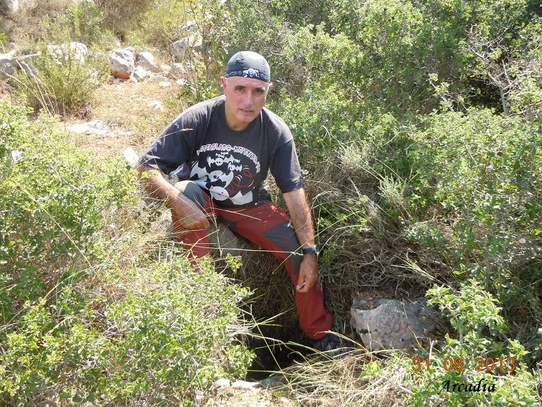
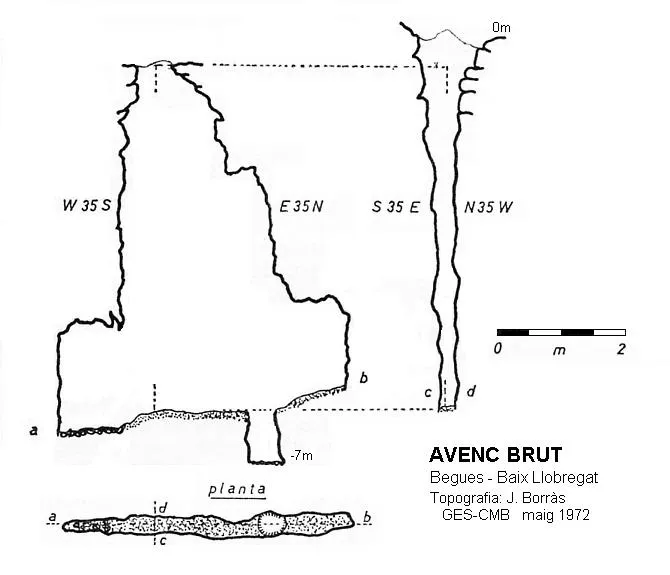
A 5 m deep pit at the head of the Fondo del Bruc, with a fissure of average length 3 m and depth 4 m that narrows progressively.
EspeleoWorld
Avenc Brut
A 5 m deep pit at the head of the Fondo del Bruc, with a fissure of average length 3 m and depth 4 m that narrows progressively.
Begues · Baix Llobregat
Length: 10 m · Depth: 5 m
Updated record
https://espeleoworld.com/en/c/avenc-brut
Information can change. Always verify coordinates, access, weather, and cave conditions before setting out.
A 5 m deep pit at the head of the Fondo del Bruc, with a fissure of average length 3 m and depth 4 m that narrows progressively.
Topographic
Espeleoindex · CC BY-NC 4.0, https://creativecommons.org/licenses/by-nc/4.0/ · Image © its author.
Photos
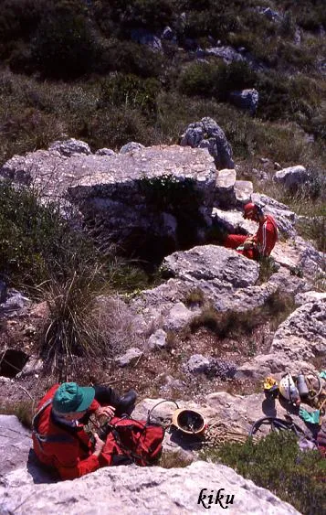
Espeleoindex · CC BY-NC 4.0, https://creativecommons.org/licenses/by-nc/4.0/ · Image © its author.
Description
Morphology
Past the small entrance, one enters a fissure with an average length of 3 metres and a depth of 4 metres that narrows progressively.
Progression
Once at this point, and with little room to move, we observe that to the SW an r-1 leads to the end of the gallery at about 2.50 metres. In direction NE, at 2 m the passage becomes impenetrable although a continuation can be glimpsed.
History
The first exploration was carried out in 1967 by the GES del CM Barcelonès. Joan Borràs (GES) returned in May 1972 to make the survey. In May 2014 the GE Badalona and the CE Castellar del Vallès made a survey revision.
On the other hand, we have observed that in the edition of the Alpina map of 1961, there is an enlargement of data made by the SES-Puigmal, appearing located in the same place the Avencó del Bruc with no. 123. In the guide it states that it is 6 m deep and gives it an altitude of 483 m.a.s.l.
After publishing his Catàleg, Borràs made a complete revision of the Alpina map and this pit disappears definitively.
Given the location on the map, the similar depth and the similarity in the name, it is more than likely that both pits are the same.
User Comments (0)
No comments yet.
Be the first to share your experience!
Registered Explorations (0)
No explorations registered yet.
Register your visit to this cave!
Bibliography
- Borràs Xavier,J.(1973).- Catálogo Espeleológico del Macizo de Garraf (I):1-155.
- Dades extretes del blog: cavitatsdecatalunya.blogspot (de Jordi de Valles). Apunt del 25-5-2015. Dades: Enric Porcel
Nearby caves



Source: Espeleoindex (espeleoindex.com), modified. CC BY-NC 4.0, https://creativecommons.org/licenses/by-nc/4.0/