
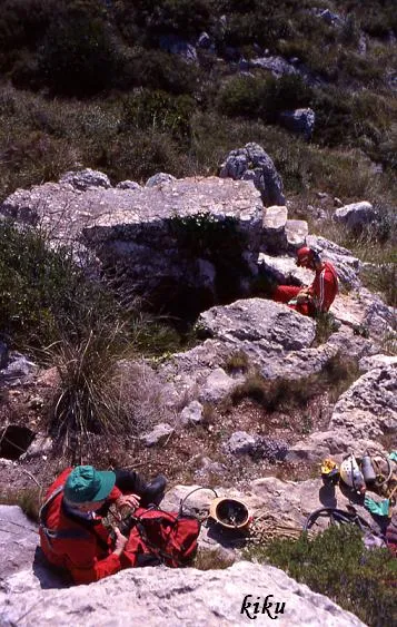
Avenc del Bruc
Historic and important 117 m deep pit in Begues, with an entrance shaft almost 5 m in diameter and 91 m vertical.
EspeleoWorld
Avenc del Bruc
Historic and important 117 m deep pit in Begues, with an entrance shaft almost 5 m in diameter and 91 m vertical.
Begues · Baix Llobregat
Length: 313 m · Depth: 117 m
Updated record
https://espeleoworld.com/en/c/avenc-del-bruc
Information can change. Always verify coordinates, access, weather, and cave conditions before setting out.
Historic and important 117 m deep pit in Begues, with an entrance shaft almost 5 m in diameter and 91 m vertical.
Topographic
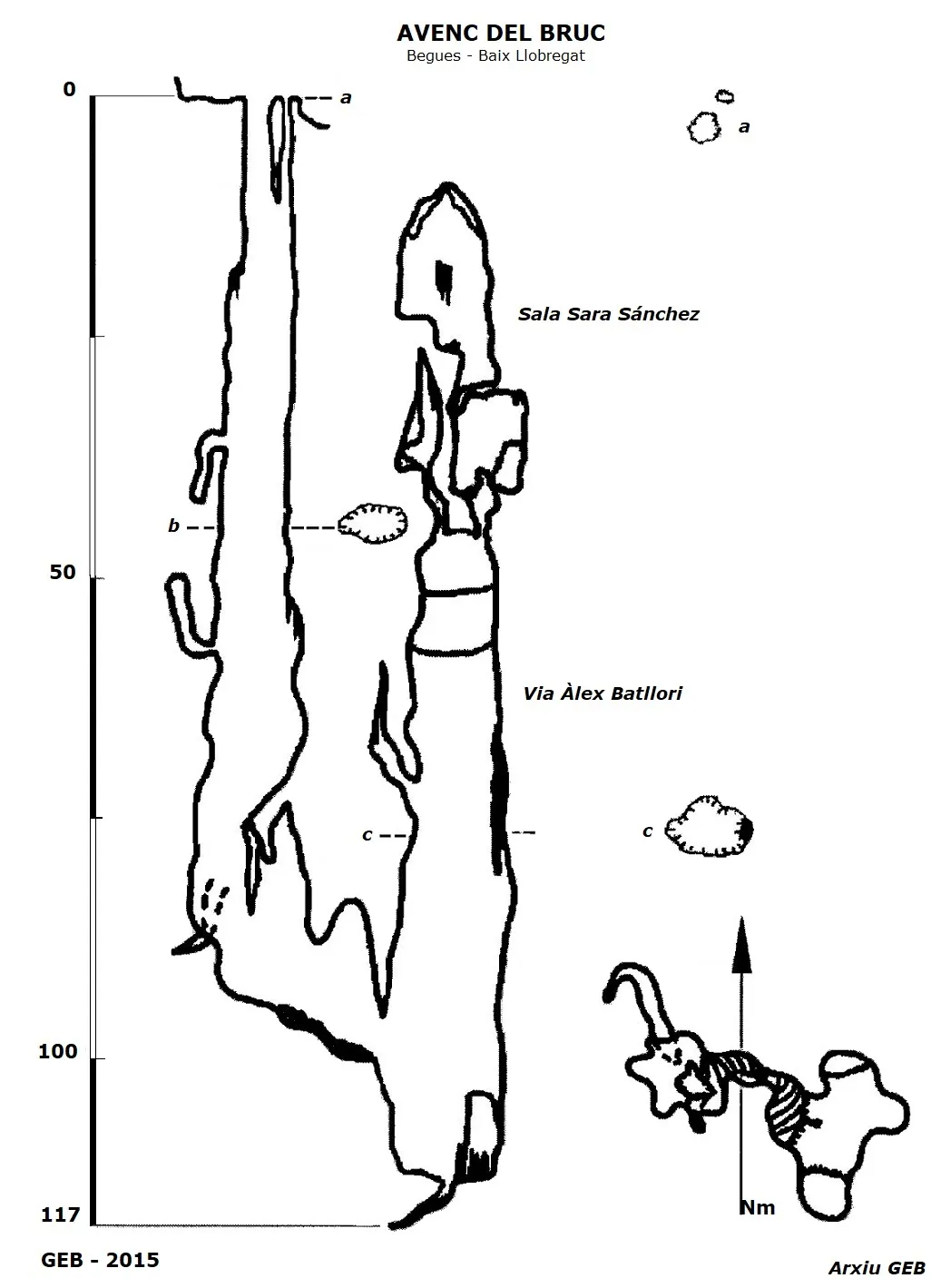
Espeleoindex · CC BY-NC 4.0, https://creativecommons.org/licenses/by-nc/4.0/ · Image © its author.
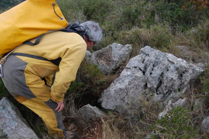
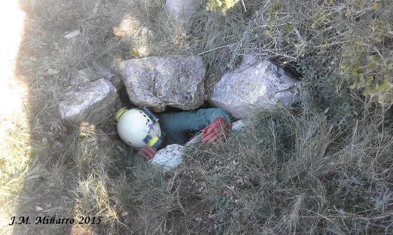
Photos
Espeleoindex · CC BY-NC 4.0, https://creativecommons.org/licenses/by-nc/4.0/ · Image © its author.
Description
Morphology
A mouth almost 5 metres in diameter gives way to a shaft 91 metres vertical that shortly after its start widens towards the NW. At the -23 level it narrows momentarily, then continues with notable dimensions down to the bottom. This forms a chamber with speleothems with a very characteristic flow and with the floor sloping towards the E until it links with a new shaft, which descends 18 metres to the point of maximum depth of the pit. Along the upper part of the shaft, it rises about sixty metres in the route called Àlex Batllori.
This climbing route starts at the window that gives access to the final shaft, the morphology is similar to that of the entrance shaft of the pit, with erosion forms predominating on the walls.
Following the ascent, at about +30 metres we reach a ledge full of mud, from where a spectacular white flow can be seen behind.
To the right a small window can be seen that leads to a small room that only allows sitting, here a chimney starts that is closed 6 metres higher up.
The climb is delicate, due to the crust of soft speleothem and the mud coatings found in some sections.
The width measurements of this shaft, at some points exceed those of the diameter of the entrance shaft.
Following the ascent, 20 metres higher up there is a new ledge, from where the roof of the shaft can be seen. On reaching the head of the shaft, there are two options for continuation, the first starts in the vertical and ends at the room called 'Capitán Cuñas' (which does not appear on the survey), where we find a large flag and an abundance of eccentric formations. This room with a height of +9 metres is closed.
The other branch leaves from the left of where one came from, continuing along an impressive rock bridge, then there is a demanding zig-zag crawl that leads us to a room about 8 metres high, through which, on the left, the ascent continues, one must pass a window and keep climbing, in total about +20 metres until reaching the last room (Sala Sara Sánchez) where the roof closes again, calculating that this highest point is about 10 metres from the surface.
Speleothems
Chamber with speleothems with a very characteristic flow. On the route Àlex Batllori, from a ledge full of mud a spectacular white flow can be seen behind. In the room 'Capitán Cuñas' there is a large flag and an abundance of eccentric formations.
Hydrology
The cavity is an old sinkhole of the nearby thalweg, today in a residual phase.
Progression
The first descent was carried out by N. Font i Sagué on 24 July 1898, in an expedition full of epic and where, hanging from the second shaft, he believed he saw the bottom of the pit occupied by “a lake of calm waters” in which his image was reflected.
25 years had to pass for the pit to be the object of a new exploration, the one organised by Rafael Amat i Carreras and his companions on 26 October 1923. The expedition had a whole deployment of technical means of the time (filming by “Pathé”, a boat to navigate the lake mentioned by Font, insurance policies,…). The exploration was complete, assigning it a depth of 150 metres, but the disappointment was also for not finding even a trace of the lake.
The next exploration was carried out by members of the Club Muntanyenc Barcelonès in April 1948, a few days before the official founding of the GES. The survey they made placed the maximum depth at 125 metres. Different later surveys lowered this level to 115 metres.
An attempt at clearing at the end placed the final level at -117 metres.
In 2015, the GEB climbed, on the side shaft, the Via Àlex Batllori, reaching the -10 metres level from the exterior, making a new survey of the cavity.
History
Historic and important 117 m deep pit in Begues.
User Comments (0)
No comments yet.
Be the first to share your experience!
Registered Explorations (0)
No explorations registered yet.
Register your visit to this cave!
Bibliography
- Amat i Carreras, R. (1924).- “Sota el massís de Garraf. Campanya de l'any 1923”. Butlletí del Centre Excursionista de Catalunya 35 (351): 109-136. CEC. Barcelona.
- Borràs, J. (1973).-Catálogo espeleológico del macizo de Garraf. Vol. I . 155 pp. Barcelona.
- Cardona, F. (1990).-Grans cavitats de Catalunya, vol 2. 484 pp. EC Gràcia, Barcelona.
- Ferrer, V. (2006).-Avencs de Garraf i d'Ordal. 152 pp. + llibret fitxes i topografies. Edició de l'autor. Barcelona.
- Font i Sagué, N. (1899).- “Excursió espeleològica a la Baronia d'Aramprunyà”. Butll. Centre Excursionista de Catalunya (IX) 5-7-8.
- Valles, Jordi de (2017).-”Baix Llobregat”. Catàleg Espeleològic de Catalunya (vol.6):pp 1-468. ECG/FCE.
- Fitxa actualitzada (abril 2020) amb algunes precisions del tram superior de la Via Àlex Batllori, facilitades per José Amaya, membre del grup que va fer l'escalada.
- Fotografies extretes de Espeleodijous.
- Fotografies de Victor Ferrer Rico de la zona d'escalada nova.
Nearby caves
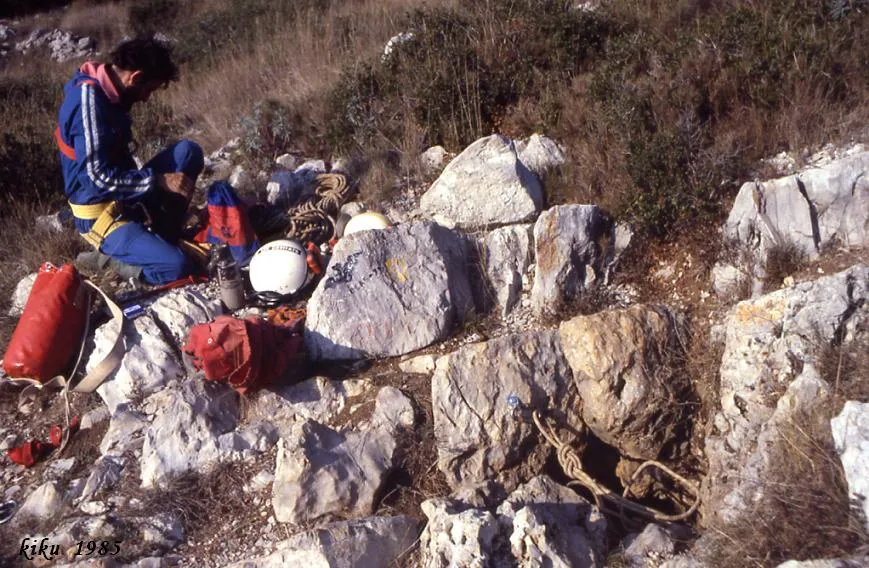
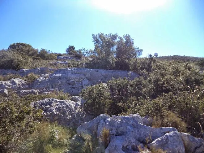


Source: Espeleoindex (espeleoindex.com), modified. CC BY-NC 4.0, https://creativecommons.org/licenses/by-nc/4.0/