
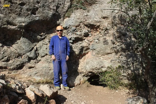
Forat de l'Alba
Small descending cave in Collbató, Montserrat, formed by successive coils that become impassable due to sediment.
EspeleoWorld
Forat de l'Alba
Small descending cave in Collbató, Montserrat, formed by successive coils that become impassable due to sediment.
Collbató · Baix Llobregat
Sviluppo: 4 m · Profondità: 1 m
Scheda aggiornata
https://espeleoworld.com/it/c/forat-de-l-alba
Le informazioni possono cambiare. Verifica sempre coordinate, accesso, meteo e condizioni della cavità prima di partire.
Small descending cave in Collbató, Montserrat, formed by successive coils that become impassable due to sediment.
Topografia
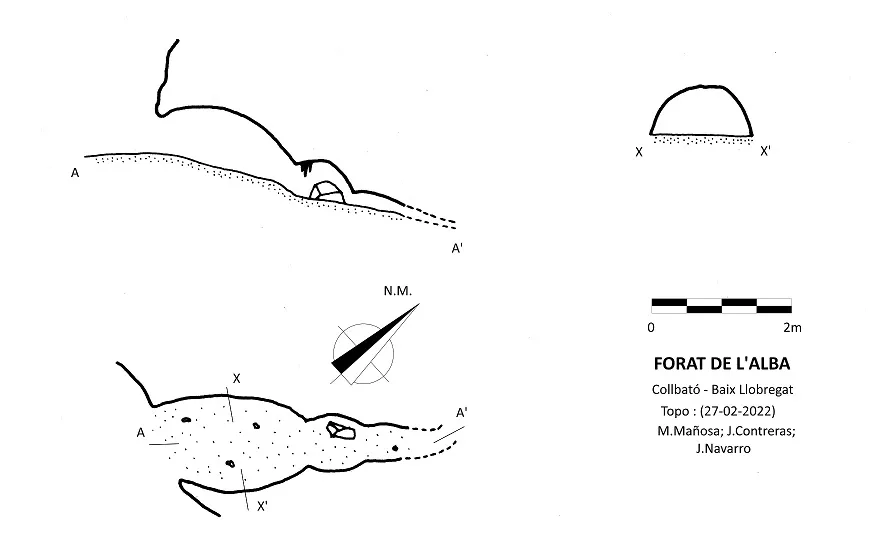
Espeleoindex · CC BY-NC 4.0, https://creativecommons.org/licenses/by-nc/4.0/ · Immagine © del suo autore.
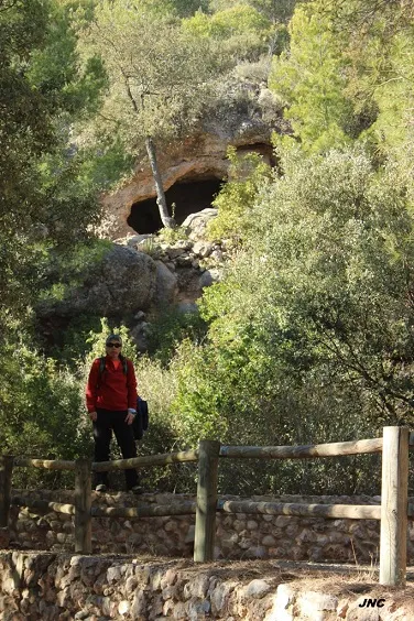
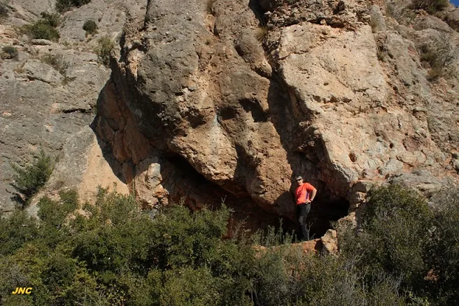
Foto
Espeleoindex · CC BY-NC 4.0, https://creativecommons.org/licenses/by-nc/4.0/ · Immagine © del suo autore.
Descrizione
Morfologia
Small descending cave, formed by successive coils that become ever smaller and narrower until they become impassable due to the large amount of sediment present.
Concrezioni
On the ceiling of the second coil, a concentration of small reconstruction formations can be seen.
Storia
Cave unrecorded in speleological catalogues.
Commenti degli utenti (0)
Nessun commento ancora.
Sii il primo a condividere la tua esperienza!
Esplorazioni registrate (0)
Nessuna esplorazione registrata.
Registra la tua visita a questa grotta!
Bibliografia
- Totes les dades, topografia i fotografies han estat facilitades per Jordi Navarro (Centre Excursionista de Castellar del Vallès)
Grotte vicine
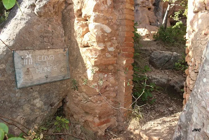
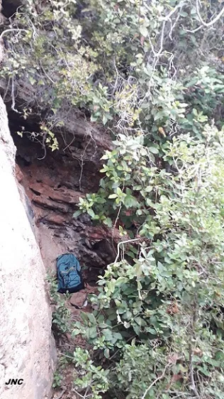


Fonte: Espeleoindex (espeleoindex.com), modificato. CC BY-NC 4.0, https://creativecommons.org/licenses/by-nc/4.0/