
Cova de la Codolosa
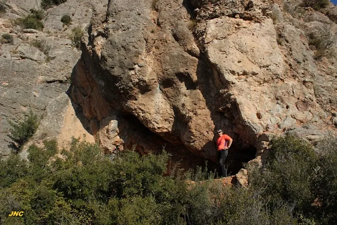
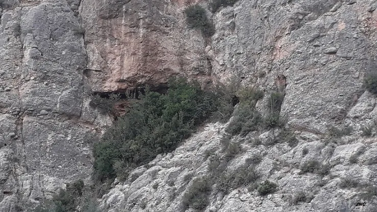
A rock shelter about 18 metres wide and 2-3 metres high in Collbató, formerly a beehive shelter, with a partially demolished wall, an archaeological test pit and a gallery with a water deposit.
EspeleoWorld
Cova de la Codolosa
A rock shelter about 18 metres wide and 2-3 metres high in Collbató, formerly a beehive shelter, with a partially demolished wall, an archaeological test pit and a gallery with a water deposit.
Collbató · Baix Llobregat
Sviluppo: 18 m · Profondità: 1 m
Scheda aggiornata
https://espeleoworld.com/it/c/cova-de-la-codolosa
Le informazioni possono cambiare. Verifica sempre coordinate, accesso, meteo e condizioni della cavità prima di partire.
A rock shelter about 18 metres wide and 2-3 metres high in Collbató, formerly a beehive shelter, with a partially demolished wall, an archaeological test pit and a gallery with a water deposit.
Topografia
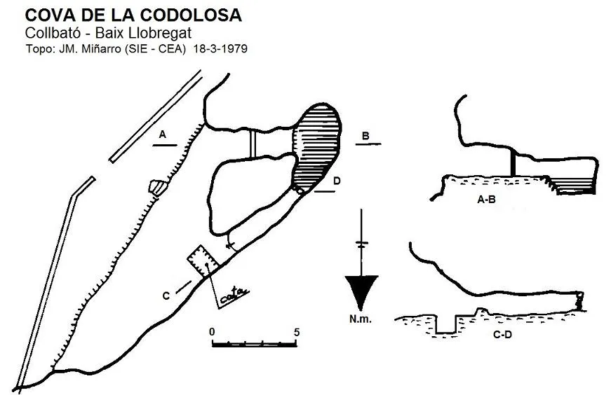
Espeleoindex · CC BY-NC 4.0, https://creativecommons.org/licenses/by-nc/4.0/ · Immagine © del suo autore.
Foto
Espeleoindex · CC BY-NC 4.0, https://creativecommons.org/licenses/by-nc/4.0/ · Immagine © del suo autore.
Descrizione
Morfologia
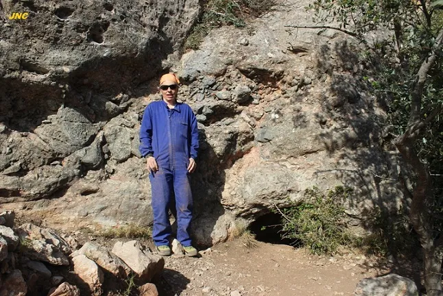
Rock shelter about 18 metres wide and about 2-3 metres high, walled up by an artificial wall partially demolished. The floor is dusty and among the sediments an archaeological test pit of a little more than 1 metres deep has been excavated. On the South wall there is a short gallery with a partition that leads to a water deposit.
Idrologia
On the South wall there is a short gallery with a partition that leads to a water deposit.
Altri dettagli
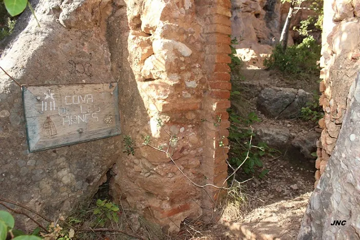
Rock shelter formerly fitted out as a beehive shelter. Many years ago it had been used for forestry, hence it is also known as Cova de les Arnes.
Storia
Cavity known since time immemorial and mentioned in all the speleological catalogues of Montserrat. It had never been the subject of a documented record. The first survey we know of is the one carried out by members of the GE Pedraforca in April 1972 and until now unpublished.
Commenti degli utenti (0)
Nessun commento ancora.
Sii il primo a condividere la tua esperienza!
Esplorazioni registrate (0)
Nessuna esplorazione registrata.
Registra la tua visita a questa grotta!
Bibliografia
- Dades inèdites arxiu JM. Miñarro
- Topografia inèdita arxiu GE Pedraforca
- Revisió coordenades i fotografies facilitades per Jordi Navarro (Centre Excursionista de Castellar del Vallès) (març 2022)
Grotte vicine


Fonte: Espeleoindex (espeleoindex.com), modificato. CC BY-NC 4.0, https://creativecommons.org/licenses/by-nc/4.0/