
Surgència del Molinet
Important surgència temporal a Capafonts
EspeleoWorld
Surgència del Molinet
Important surgència temporal a Capafonts
Capafonts · Baix Camp
Length: 28 m · Depth: 4 m
Updated record
https://espeleoworld.com/en/c/surgencia-del-molinet
Information can change. Always verify coordinates, access, weather, and cave conditions before setting out.
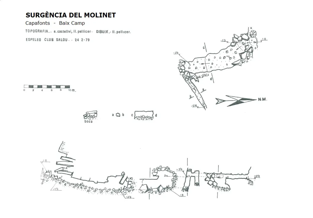
Temporary spring in Capafonts, with a small gallery of 28 metres and 3.6 metres of vertical drop, known since ancient times and surveyed in 1979.
Topographic
Espeleoindex · CC BY-NC 4.0, https://creativecommons.org/licenses/by-nc/4.0/ · Image © its author.
Photos
Espeleoindex · CC BY-NC 4.0, https://creativecommons.org/licenses/by-nc/4.0/ · Image © its author.
Description
Morphology
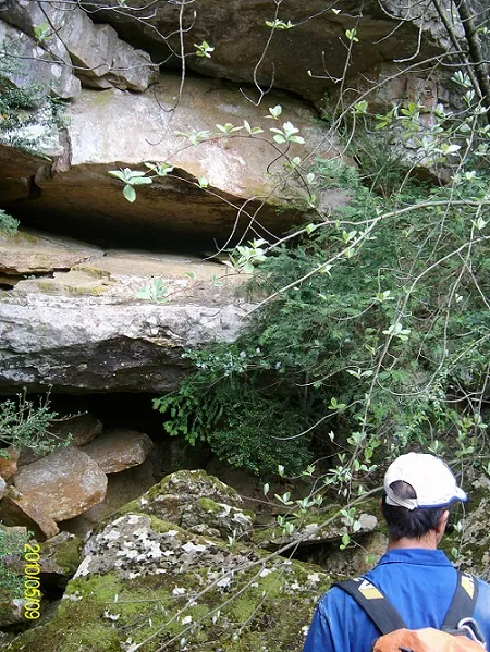
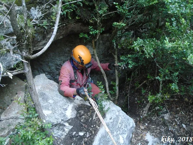
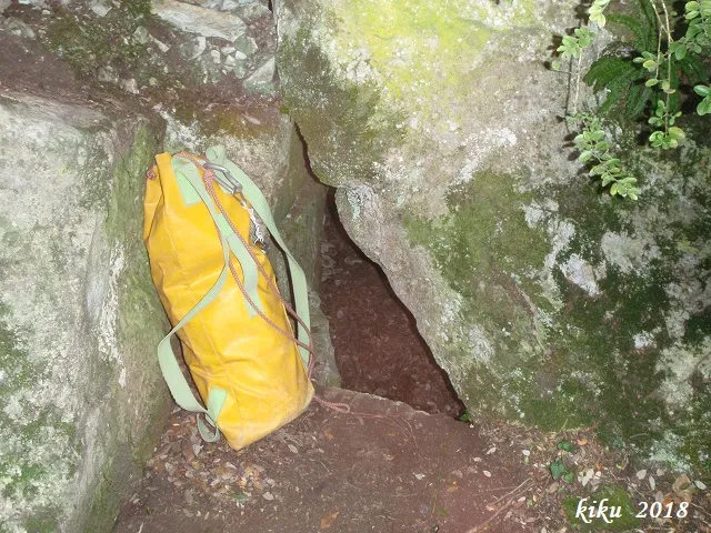
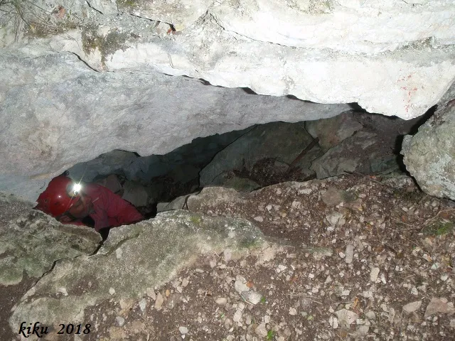
At the base of a small cliff where there is a pile of blocks, there is a small descending mouth with the floor occupied by blocks that, after about 5 metres, leads to a wider gallery about 12 metres long and a little more than one metre high, with a very flat ceiling and a floor with only small rubble. On reaching the end we can stand up, where we see an accumulation of larger blocks and from where a narrow gallery emerges in an E direction that is choked. The vertical drop is 3.6 metres with a route of 28 metres.
Hydrology
The cave constitutes an important example of an intermittent spring. Although it seems clear that the catchment basin would be the plana dels Motllats, its operating regime is not sufficiently studied, with little data available. In one of the emissions it has been verified how that large flow of water dried up in less than a week, leaving only water accumulated in the main gallery.
On 7/12/14 the water temperature was 9.5º C while the ambient was 5.5ºC at 5 metres from the entrance on a cold day with outside temperatures of just over one degree.
History
Known since ancient times in Capafonts. At the end of the nineteen-sixties of the last century, members of the AAEEMI de Valls had already reported extensively on the spring that poured out large quantities of water after a storm of llevantades, indicating that its name came from the fact that the force of the water when it gushed made a large stone move that seemed like a millstone turning.
In 1979 the Espeleo Club de Salou surveyed it.
Bio
Coleoptera: Troglocharinus orcinus 6-8-2015 (new location).
Carabids: Duvalius berthae.
User Comments (0)
No comments yet.
Be the first to share your experience!
Registered Explorations (0)
No explorations registered yet.
Register your visit to this cave!
Bibliography
- Borràs, J.; Miñarro, J.M.; Talavera, F.(1984).-”el baix camp, el priorat i la ribera d'ebre” Catàleg Espeleològic de Catalunya (Vol.7):1-283. Ed Políglota. Barcelona.
- Totes les dades, coordenades topografia i fotografies ens han estat facilitades per Joan Pallise (SIS-CET)
Nearby caves


Source: Espeleoindex (espeleoindex.com), modified. CC BY-NC 4.0, https://creativecommons.org/licenses/by-nc/4.0/