
Cova-avenc d'en Daniel
Cavitat amb dues boques d'accés de 31 metres de fondària a Capafonts
EspeleoWorld
Cova-avenc d'en Daniel
Cavitat amb dues boques d'accés de 31 metres de fondària a Capafonts
Capafonts · Baix Camp
Length: 156 m · Depth: 31 m
Updated record
https://espeleoworld.com/en/c/cova-avenc-d-en-daniel
Information can change. Always verify coordinates, access, weather, and cave conditions before setting out.
A cavity with two access mouths, 31 metres deep, in Capafonts, with an archaeological deposit and a history of exploration since 1964.
Topographic
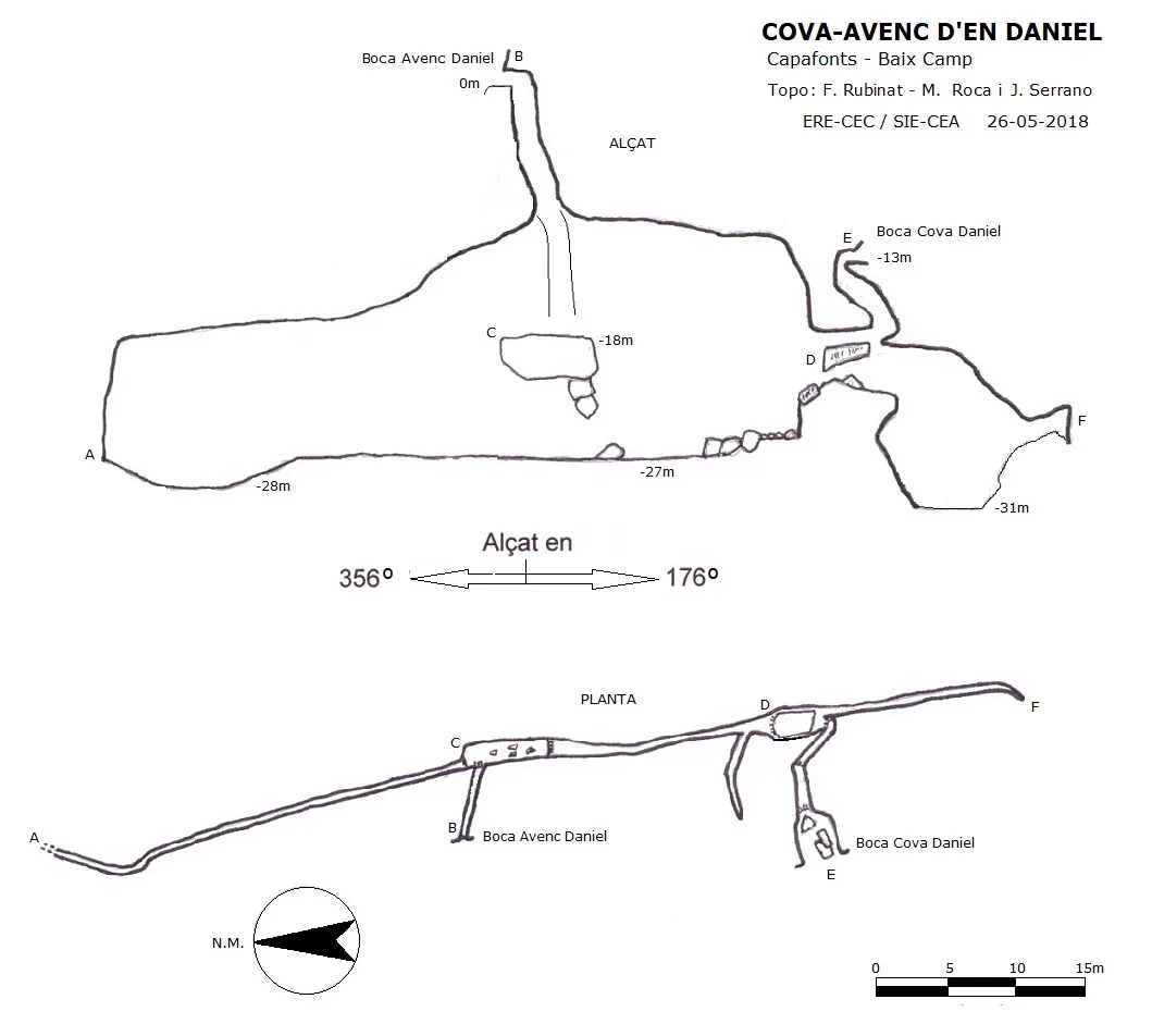
Espeleoindex · CC BY-NC 4.0, https://creativecommons.org/licenses/by-nc/4.0/ · Image © its author.
Photos
Espeleoindex · CC BY-NC 4.0, https://creativecommons.org/licenses/by-nc/4.0/ · Image © its author.
Description
Morphology
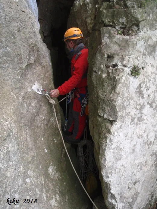
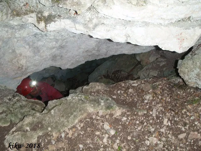
From the mouth of the pit one accesses a fissure 4.24 metres deep; the sloping base leads us to a wider fissure perpendicular to the previous one; a vertical drop of some -10 metres places us on a large block that forms a kind of platform in the middle of the fissure; one can continue descending by either of its ends by means of a new vertical drop of -9 metres; along the base one can continue in a N direction, until it ends up becoming impracticable due to its narrowness; on the S side one can continue until finding some blocks that bar the way; on the right we find a gallery that ends immediately; if we climb the blocks that bar the way, we will pass under a large block that is the chamber where the archaeological deposit was found. From this point, if we follow the fissure in a S direction, we will be able to descend to the point of maximum depth of the cavity, -31 metres. If we position ourselves in the chamber, which is nothing other than a large embedded block of 4.30X2.28 metres and little more than one metre in height at some point; here we will find a passage in the form of a ledge above the void of the fissure that will give us access to a conduit between blocks that in a few metres will lead us to the mouth of the cova d'en Daniel.
History
According to Salvador Vilaseca, the pit was found by a shepherd from Capafonts, en Daniel Fort, and the first exploration was carried out in the month of March 1964 by a group of speleologists from the parish of Sant Joan Batista and from the AEC, as well as from the AE Gelera de Barcelona. What does not add up for us is that Vilaseca's article appears published in 1963, one year before the date he gives for the exploration. It could be that the magazine was published later but keeping the planned publication date, although we do not know this detail. Likewise we have found a graffiti at the bottom of the cavity belonging to the AE Reus, which possibly also took part in the exploration.
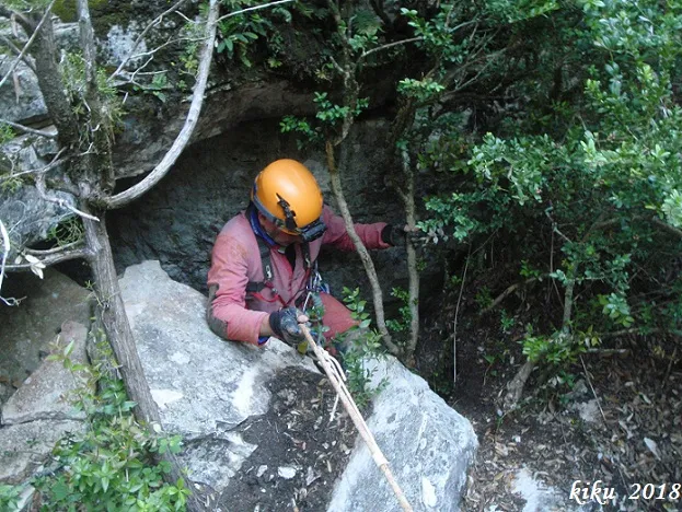
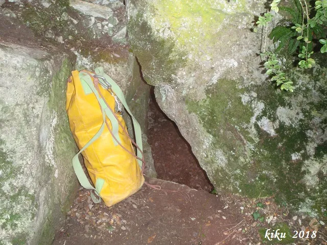
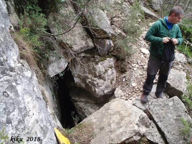
The mouth of the cave was found later, since it was considered that the ceramics found inside could not have been introduced through the pit, so they looked for the exit from the inside, coming out through the mouth of the cave.
In a corner of the mouth of the cave, half-erased, a graffiti is preserved with the name avenc del Vent Glaçat; it is evident that the painter made a mistake, as did the colleagues of the SIEP in 1982 when they catalogued the Forat del Vent Glaçat as Avenc d'en Daniel.
User Comments (0)
No comments yet.
Be the first to share your experience!
Registered Explorations (0)
No explorations registered yet.
Register your visit to this cave!
Bibliography
- Borràs, J.; Miñarro,J.M.; Talavera, F. (1984).-”el baix camp, el priorat i la ribera d'ebre”. Catàleg Espeleològic de Catalunya (vol.7):54-55. Ed Políglota.
- Talavera, Ferran (1982).-”Las cavidades del barranc de la Pixera (Motllat-Baix Camp)”. Boletín Espeleológico SIEP (14):30-41. SIEP – CE Poblet.
- Vilaseca Anguera, Salvador. (1963).-”Dos nuevas cuevas del Bronce medio y final del macizo de Prades”. Ampuries (XXV):105-136.
- Coordenades, dades i fotografies facilitades per Albert Peixet de Capafonts, Juli Serrano (SIE-CEA) i Francesc Rubinat (ERE-CEC).
- Invarque.cultura.gencat.cat
Nearby caves


Source: Espeleoindex (espeleoindex.com), modified. CC BY-NC 4.0, https://creativecommons.org/licenses/by-nc/4.0/