
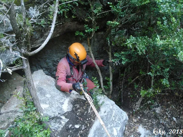
Avenc de la Llastra
Avenc de 19 metres de fondària a la font de la Llúdriga (Capafonts).
EspeleoWorld
Avenc de la Llastra
Avenc de 19 metres de fondària a la font de la Llúdriga (Capafonts).
Capafonts · Baix Camp
Length: 46 m · Depth: 19 m
Updated record
https://espeleoworld.com/en/c/avenc-de-la-llastra
Information can change. Always verify coordinates, access, weather, and cave conditions before setting out.
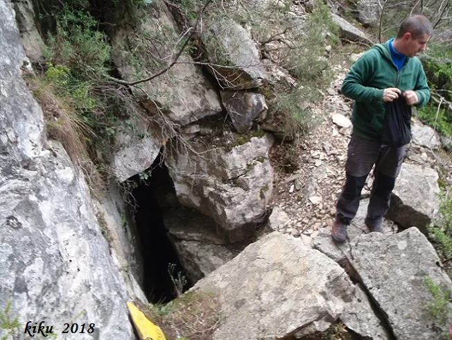
A 19-metre-deep pit at the font de la Llúdriga (Capafonts), with a route from the spring to the entrance, passing through the barranc del Ribatell and the Forat del Vent Glaçat.
Topographic
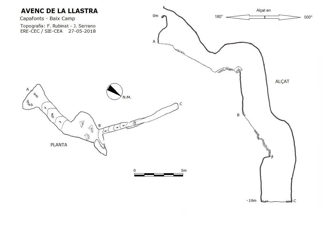
Espeleoindex · CC BY-NC 4.0, https://creativecommons.org/licenses/by-nc/4.0/ · Image © its author.
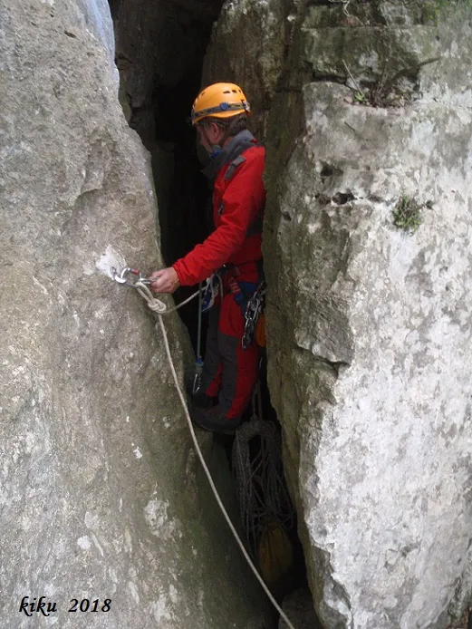
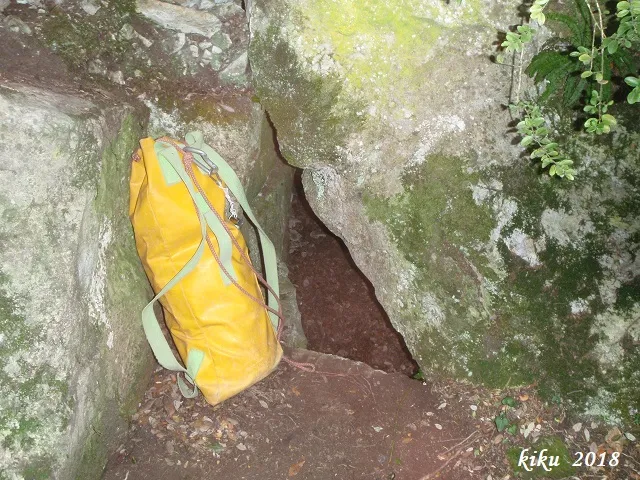
Photos
Espeleoindex · CC BY-NC 4.0, https://creativecommons.org/licenses/by-nc/4.0/ · Image © its author.
Description
Morphology
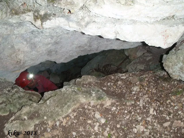
An entrance of 1.87X0.87 metres gives access to a pit of 2.80 metres, the base is formed by a chamber of 4.65X2.47 metres, the gently sloping base leads us to another wider chamber but which on the right has a pit of -5.43 metres, while in front there is another pit of -4.35 metres, both pits communicate at the base through a narrow passage.
From the base of the -4.35 metre pit a diaclase descends steeply until it leads us to a narrow pit of -4.77 metres that places us at the base of the diaclase, which is some 6 metres long.
History
We had no reference whatsoever for this cavity; its existence was communicated to us by Albert Peixet of Capafonts, who located it during one of the frequent prospections he carries out in the area in search of cavities. At his suggestion we named it Forat del Vent Calent, since when he found it it was winter and a pleasant warm wind came out of the entrance.
Nevertheless we observed that the cavity had already been explored not long before, since there were holes made with a drill to place “multimontis”, although we do not know who the explorers had been.
We had also established from the remains found that this cavity had been an interesting archaeological site similar to that of the cova d'en Daniel.
Following the insertion of the cavity's record into the Espeleoíndex, Joan Pallisé got in contact with the administrators of Espeleoíndex to provide them with more unpublished data about this cavity.
The cavity was discovered by Joan Pallisé (SIS-CET) while prospecting in the area during the month of August 2014.
On the same day of its location, 13-08-2014, a first exploration was carried out until reaching the entrance of the last pit where the narrowness and verticality of the diaclase made an installation necessary. During the exploration a large quantity of prehistoric pottery appeared on the surface, with rims, finger marks and fragments worked with geometric figures typical of bell-beaker vessels, as well as many others both in the upper chamber, in the passage that descends towards the second pit, and at the bottom of the same where there was also pottery and bones. Noteworthy is the find at the foot of a crevice of a small vessel of some 20 cm almost whole and full of earth which was left in its place without touching it so that the archaeologists could study it and collect it.
Later, with Ramon Sendra (GEB), they carried out a second exploration on 09-11-2014, reaching the bottom of the cavity. Their colleague Miquel Nebot of the FCE put them in contact with the territorial delegation of archaeology and finally on 18/10/15 they carried out a large outing of archaeologists and speleologists to accompany them to the site and carry out its study.
On the outing with the archaeologists they were accompanied by M. Adseries, territorial delegate of the Generalitat, and various archaeologists from a Girona company, and while they were studying the sites, in the upper part they located a bone worked in the form of a rather long and thin needle, a red pebble, as well as other materials; while in parallel their colleagues Ramon Sendra and Enric Porcel (GEB) carried out the attached topography. Later they passed on the coordinates and the cadastral situation in order to move forward with the excavation permits.
Even later, they returned on 21-02-2016 to take temperature measurements of the cavity.
On learning of the activities carried out by our colleagues of the GEB and of the SIS-CET, of which there was no record, we have considered it appropriate to recover the name that the first explorers gave it.
User Comments (0)
No comments yet.
Be the first to share your experience!
Registered Explorations (0)
No explorations registered yet.
Register your visit to this cave!
Bibliography
- Dades inèdites, coordenades, topografia i fotografies facilitades per Albert Peixet de Capafonts, Juli Serrano (SIE-CEA) i Francesc Rubinat (ERE-CEC).
- Dades inèdites i topografia facilitades per Joan Pallisé.
Nearby caves


Source: Espeleoindex (espeleoindex.com), modified. CC BY-NC 4.0, https://creativecommons.org/licenses/by-nc/4.0/