
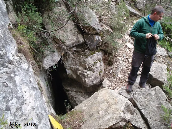
Avenc Capellades
Cova de 28 metres de recorregut a Capafons.
EspeleoWorld
Avenc Capellades
Cova de 28 metres de recorregut a Capafons.
Capafonts · Baix Camp
Length: 28 m · Depth: 9 m
Updated record
https://espeleoworld.com/en/c/avenc-capellades
Information can change. Always verify coordinates, access, weather, and cave conditions before setting out.
A 28-metre-long cave in Capafonts, with a vertical drop of 8.50 metres, surveyed in 1980 by the SIEP and again in 2014.
Topographic
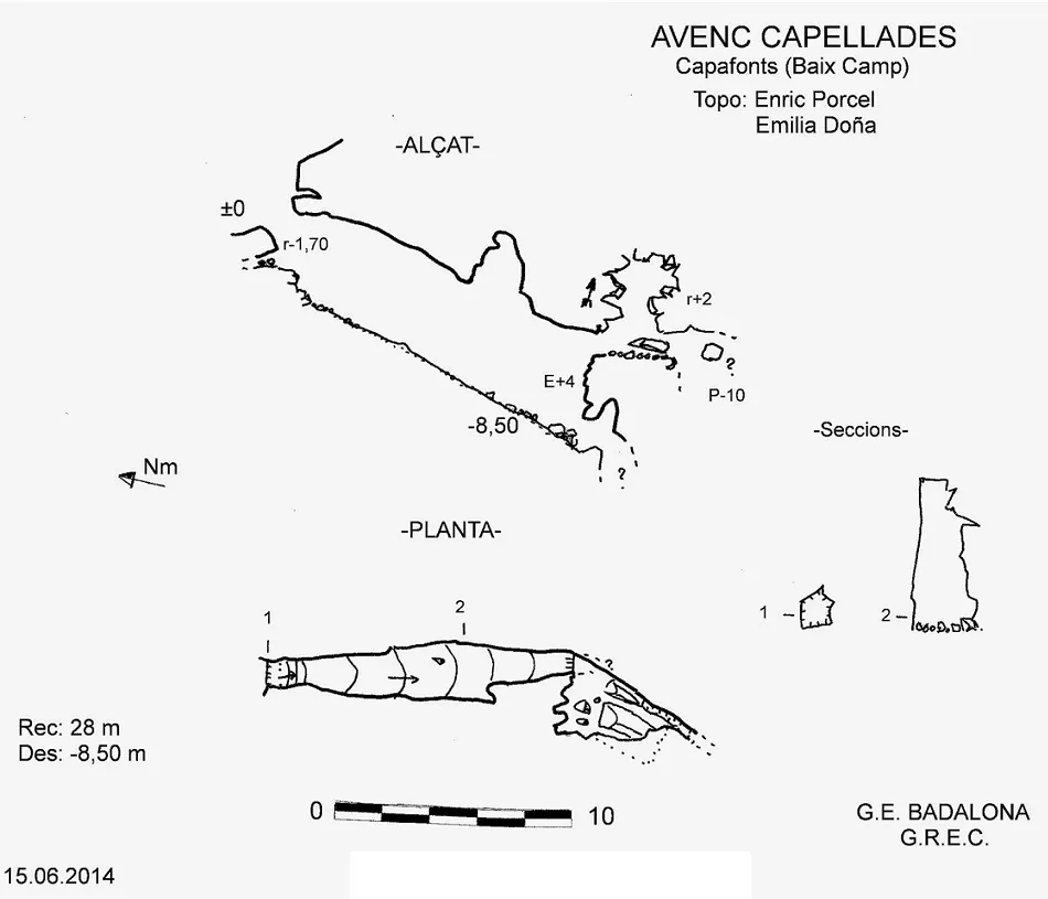
Espeleoindex · CC BY-NC 4.0, https://creativecommons.org/licenses/by-nc/4.0/ · Image © its author.
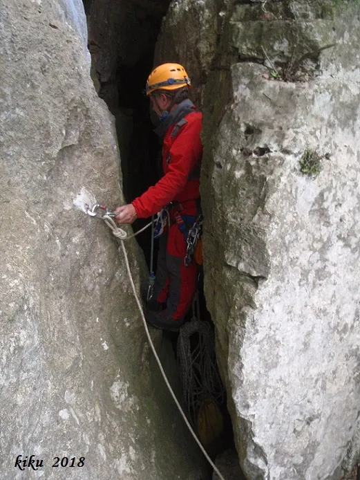
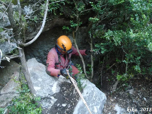
Photos
Espeleoindex · CC BY-NC 4.0, https://creativecommons.org/licenses/by-nc/4.0/ · Image © its author.
Description
Morphology
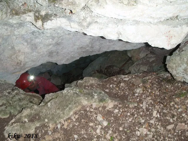
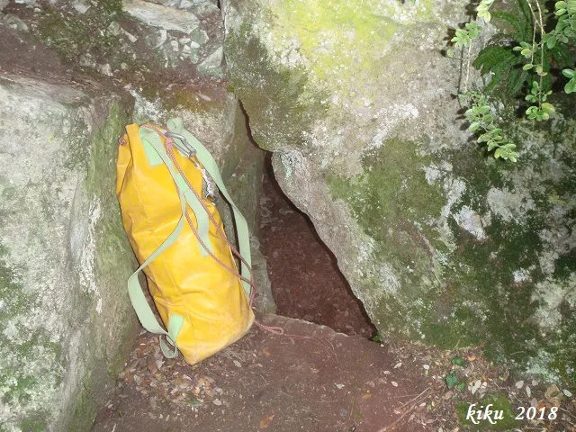
A 1.20X1.20 metre mouth gives way to a drop of -1.70 metres where a descending ramp begins. It is a 15-metre-long joint with a variable width of 1 to 2 metres and a maximum height of 7.50 metres. On reaching the supposed end of the gallery, a hole in the floor is observed through which the cavity continues, but a strong desobstruction would be needed. From here one can climb 4 metres to find a small elevated continuation. It is the same joint along which one can progress 5 metres further. At the end, on the left, there is a fissure that gives onto a pit 10 metres deep, which cannot be accessed due to its scant dimensions. If one looks from above, an air current is observed, and one can ascend 2 metres more, reaching a small chamber among unstable blocks where this air current is lost, which will surely go to the exterior, which is very close by. The vertical drop of the cavity is 8.50 metres.
Progression
A 1.20X1.20 metre mouth gives way to a drop of -1.70 metres where a descending ramp begins. On reaching the supposed end of the gallery, a hole in the floor is observed through which the cavity continues, but a strong desobstruction would be needed. From here one can climb 4 metres to find a small elevated continuation. It is the same joint along which one can progress 5 metres further. At the end, on the left, there is a fissure that gives onto a pit 10 metres deep, which cannot be accessed due to its scant dimensions. If one looks from above, one can ascend 2 metres more, reaching a small chamber among unstable blocks where this air current is lost.
Other details
On the survey carried out in 1980 by the SIEP, a scant gallery appears that would lead to the exterior; after the opportune observations "in situ", the existence of this gallery could not be confirmed.
History
The avenc Capellades was located at the end of the 60s by Josep Maria Capellades, who for years was the soul of the speleology section of the AAEEMI de Valls (currently AAEET-Valls). In 1981, the SIEP surveyed it and the following year published it under the name avenc Capellades. In 2014 members of the groups (GEB, GREC, GIEM and SIE) carried out a joint trip, during which they took the opportunity to make a new survey of the cavity.
User Comments (0)
No comments yet.
Be the first to share your experience!
Registered Explorations (0)
No explorations registered yet.
Register your visit to this cave!
Bibliography
- Borràs, J.; Miñarro,J.M.; Talavera, F. (1984).-”el baix camp, el priorat i la ribera d'ebre”. Catàleg Espeleològic de Catalunya (vol.7):52-53. Ed Políglota.
- Talavera, F. (1982).-”Las cavidades del Barranc de la Pixera (Motllat-Baix Camp)”. Bol. Espel. SIEP (14):30-41. SIEP-CE Poblet. Barcelona.
- Dades i topografia extretes del blog Catalunya subterrània (www.cavitatsdecatalunya.com.es) post del dia 21-10-2014. Participen en la sortida: Xavier Samarra, Emilia Doña, Josep Cuenca, Joan Pallisé, Ramon Sendra, Carles Fontgivell, Joan Sebastià i Enric Porcel.
- Coordenades, dades i fotografies facilitades per Albert Peixet de Capafonts, Juli Serrano (SIE-CEA) i Francesc Rubinat (ERE-CEC).
Nearby caves


Source: Espeleoindex (espeleoindex.com), modified. CC BY-NC 4.0, https://creativecommons.org/licenses/by-nc/4.0/