
Avenc de la Llúdriga
Avenc de 34 metres de fondària a Capafonts
EspeleoWorld
Avenc de la Llúdriga
Avenc de 34 metres de fondària a Capafonts
Capafonts · Baix Camp
Length: 160 m · Depth: 34 m
Updated record
https://espeleoworld.com/en/c/avenc-de-la-lludriga
Information can change. Always verify coordinates, access, weather, and cave conditions before setting out.
A 34-metre-deep pit in Capafonts, discovered and explored in 1968 by Josep Maria Capellades of the AAEEMI de Valls.
Topographic
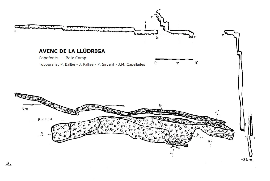
Espeleoindex · CC BY-NC 4.0, https://creativecommons.org/licenses/by-nc/4.0/ · Image © its author.
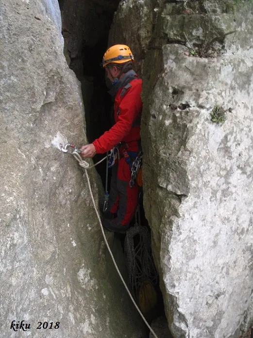
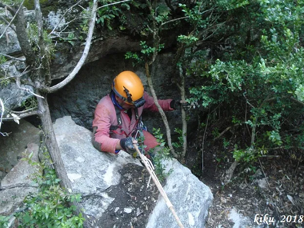
Photos
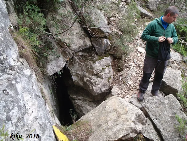
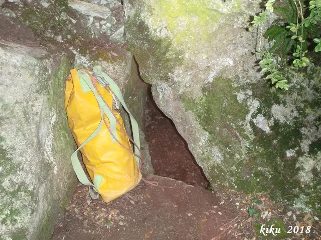
Espeleoindex · CC BY-NC 4.0, https://creativecommons.org/licenses/by-nc/4.0/ · Image © its author.
Description
Morphology
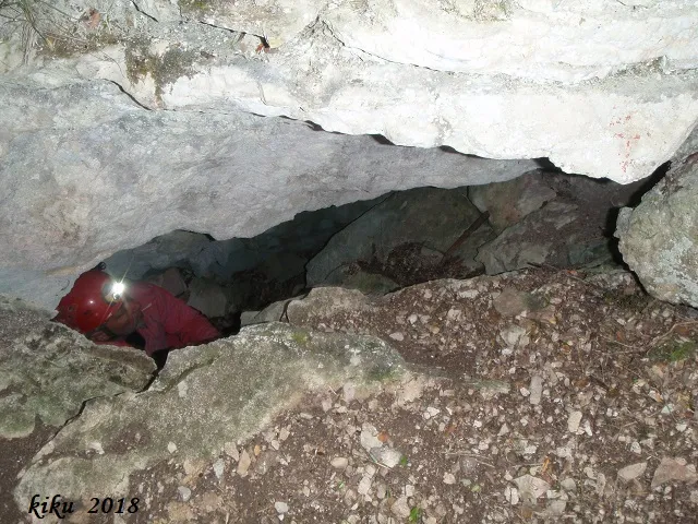
Past the small mouth, a rise of about 2 metres must be overcome, which is descended without equipment; this is followed by a descending ramp that places one in a gallery about 50 metres long by about 5 metres wide, but with a fairly low ceiling, little more than half a metre. At the S end of the gallery is the connection with a diaclase parallel to it; this diaclase is slightly stepped and narrow, with a length of more than 60 metres. The lowest point is found following the diaclase towards the N, where it reaches -34 metres deep.
Speleothems
In this gallery we find abundant formation, as well as the floor full of gours, although quite decalcified.
Progression
Past the small mouth, a rise of about 2 metres must be overcome, which is descended without equipment. In the diaclase we find a first pit that descends about six metres, followed by another of about 18 metres.
History
Discovered and explored in 1968 by Josep Maria Capellades of the AAEEMI de Valls (currently AAEET de Valls).
User Comments (0)
No comments yet.
Be the first to share your experience!
Registered Explorations (0)
No explorations registered yet.
Register your visit to this cave!
Bibliography
- Borràs, J.; Miñarro,J.M.; Talavera, F. (1984).-”el baix camp, el priorat i la ribera d'ebre”. Catàleg Espeleològic de Catalunya (vol.7):54-55. Ed Políglota.
- GIEM (1972).-”Cavidades topografiadas en la Serra de Prades y lista de las mayores cavidades”. Comunicaciones II Simposium Metodologia Espelológica.
- Talavera, Ferran (1982).-”Las cavidades del barranc de la Pixera (Motllat-Baix Camp)”. Boletín Espeleoógico SIEP (14):30-41. SIEP – CE Poblet.
- Coordenades, dades i fotografies facilitades per Albert Peixet de Capafonts, Juli Serrano (SIE-CEA) i Francesc Rubinat (ERE-CEC).
Nearby caves


Source: Espeleoindex (espeleoindex.com), modified. CC BY-NC 4.0, https://creativecommons.org/licenses/by-nc/4.0/