
Horat L5
A 65 m deep pit in the Sescorjada area, Val d'Aran, explored in 1974.
EspeleoWorld
Horat L5
A 65 m deep pit in the Sescorjada area, Val d'Aran, explored in 1974.
Vielha e Mijaran · Val d'Aran
Length: 90 m · Depth: 65 m
Updated record
https://espeleoworld.com/en/c/horat-l5
Information can change. Always verify coordinates, access, weather, and cave conditions before setting out.
A 65 m deep pit in the Sescorjada area, Val d'Aran, explored in 1974.
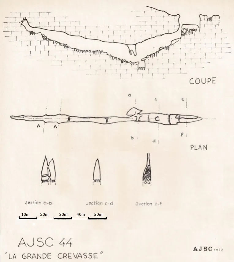
Topographic
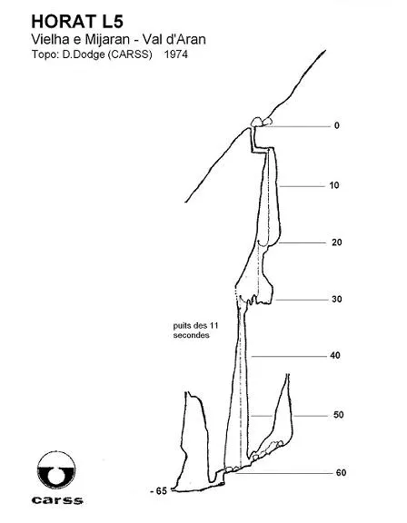
Espeleoindex · CC BY-NC 4.0, https://creativecommons.org/licenses/by-nc/4.0/ · Image © its author.
Description
Morphology
From the little information we have about this cavity, it seems that one enters through a narrow vertical conduit that leads to a series of three consecutive shafts (P-16; P-10; P-30). At the base of the last shaft, two short and narrow conduits originate that lead, one in the opposite direction from the other, to respective chimneys where the cavity ends.
History
Discovered by Bernard Magos (Saint-Ambroix, Gard) and Etienne Carels (CARSS) during the second campaign of this group of French-Belgian speleologists in the area of the estany de Liat. It was explored that same summer of 1974 and from the scant memory few things can be ascertained about it.
From reading this memory we can deduce that they did not have much desire to return, due to the difficult access to the area and “the attacks of wild cows on the tents and the food. Not to mention the attacks of the shepherds, also wild, on the female participants of the expedition” (literal translation from the French).
User Comments (0)
No comments yet.
Be the first to share your experience!
Registered Explorations (0)
No explorations registered yet.
Register your visit to this cave!
Bibliography
Dodge, Dominique (1978).- “Rapport de la deuxieme expedition franco-belge a Liat: Pyrenées espagnoles (1974)” CANARSS (5): 49-50. Centre d'Activité et de Recherche Subaquatique et Souterraine (CARSS, Bruxelles).
Nearby caves
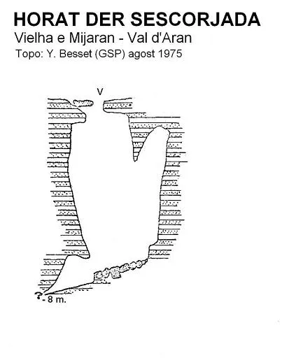
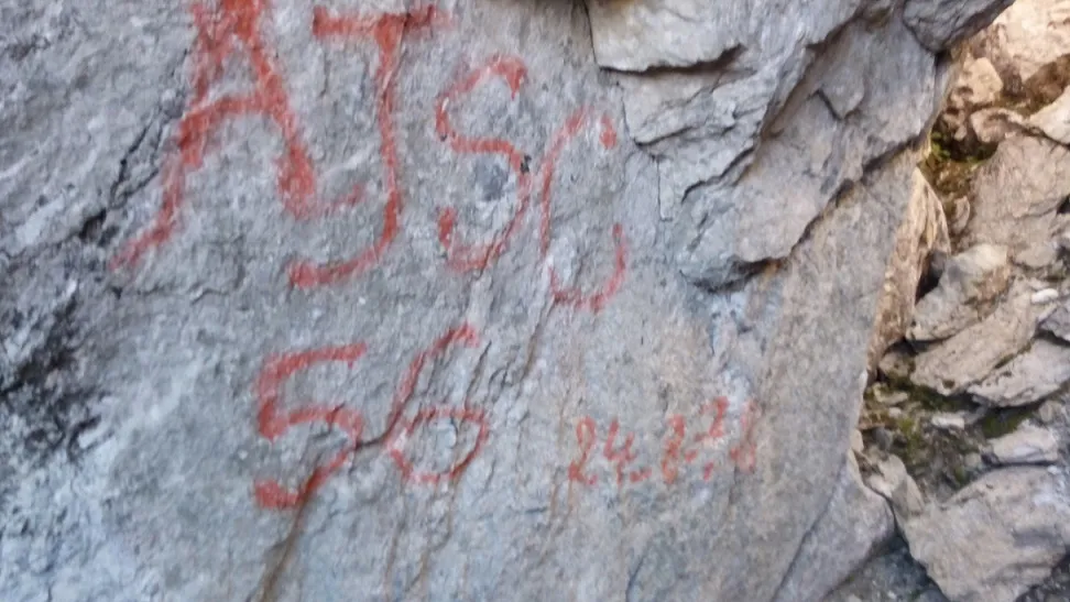
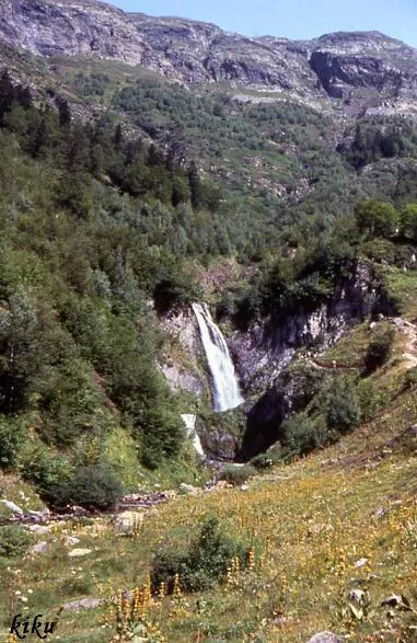

Source: Espeleoindex (espeleoindex.com), modified. CC BY-NC 4.0, https://creativecommons.org/licenses/by-nc/4.0/