
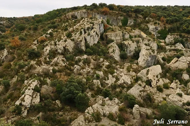
Graller Nº4 de la Pardina
Esquerda al Montsec de Viudà (Àger)
EspeleoWorld
Graller Nº4 de la Pardina
Esquerda al Montsec de Viudà (Àger)
Àger · Noguera
Length: 33 m · Depth: 7 m
Updated record
https://espeleoworld.com/en/c/graller-n-4-de-la-pardina
Information can change. Always verify coordinates, access, weather, and cave conditions before setting out.
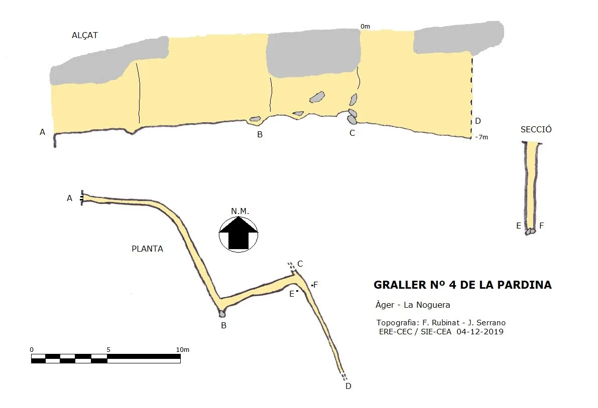
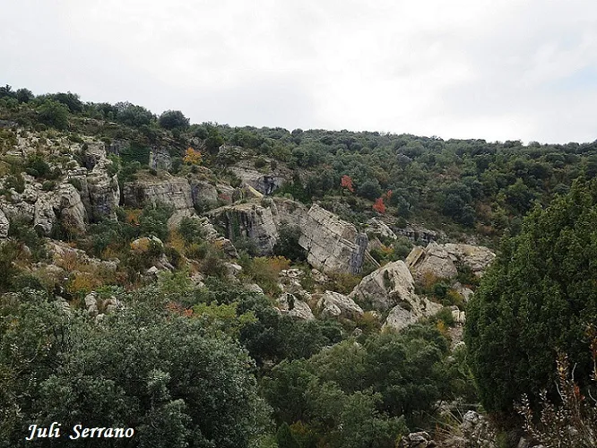
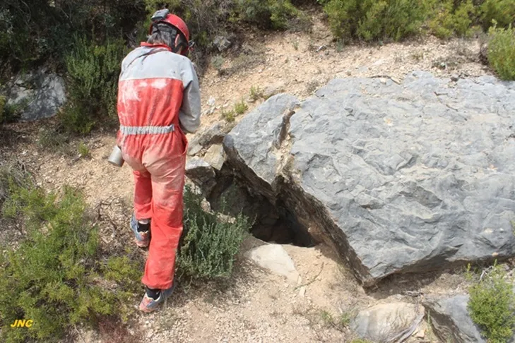
Fissure at the Montsec de Viudà (Àger), known as los Grallers, at the head of the barranc de la Pardina. A 6-metre shaft gives access to a fissure that narrows in a SE direction and that in a NW direction is impassable.
Topographic
Espeleoindex · CC BY-NC 4.0, https://creativecommons.org/licenses/by-nc/4.0/ · Image © its author.
Photos
Espeleoindex · CC BY-NC 4.0, https://creativecommons.org/licenses/by-nc/4.0/ · Image © its author.
Description
Morphology
A 6-metre shaft places us at the base of a fissure that in a SE direction gradually narrows until it becomes impassable.
In a NW direction, the fissure is impassable; in fact if it were possible to pass it would link up further on with the Graller nº 3 de la Pardina. At this point, however, about 2 metres above the base, we find a window where a perpendicular gallery about 6 metres long takes us to a new fissure parallel to the previous one; this continues in a NW direction, but halfway along it begins to turn until it continues in a W direction; the section begins to diminish until it becomes impassable about two metres before emerging to the exterior.
Other details
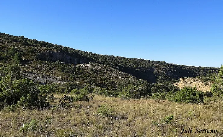
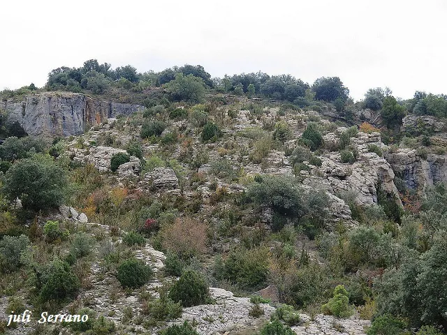
This is a heavily fractured area with fissures and large blocks at the head of the barranc de la Pardina, at the confluence with the barranc de Pedroneta. Known of old in the area, they are known as los Grallers; GEFOMA located them during the 70s of the last century, but did not get to explore them. In recent years, on the crag that closes the barranc on the hydrographic left bank, several climbing routes have been opened, and on the right side we find a via ferrata.
In some hiking guides they are erroneously called els Amorriadors or Amorridors. To be correct, this toponym should be placed outside the barranc, a hundred metres further to the NE, where there is an area of large trees and water.
Toponymy:
Amorriador: Place where livestock rest.
Amorriar: To gather wool livestock at midday in a shady place.
(diccionari de la llengua catalana), (Viccionari).
User Comments (0)
No comments yet.
Be the first to share your experience!
Registered Explorations (0)
No explorations registered yet.
Register your visit to this cave!
Bibliography
- Dades inèdites facilitades per Juli Serrano (SIE-CEA) i Francesc Rubinat (ERE-CEC).
Nearby caves


Source: Espeleoindex (espeleoindex.com), modified. CC BY-NC 4.0, https://creativecommons.org/licenses/by-nc/4.0/