
Graller Lo Comú
Avenc de 10 metres de fondària a Adons (El Pont de Suert).
EspeleoWorld
Graller Lo Comú
Avenc de 10 metres de fondària a Adons (El Pont de Suert).
Pont de Suert, El · Alta Ribagorça
Length: 12 m · Depth: 10 m
Updated record
https://espeleoworld.com/en/c/graller-lo-comu
Information can change. Always verify coordinates, access, weather, and cave conditions before setting out.
A 10-metre-deep pit in Adons (El Pont de Suert), explored by the SIE del CE Àliga in 1993.
Topographic
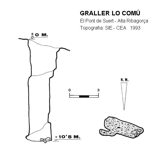

Espeleoindex · CC BY-NC 4.0, https://creativecommons.org/licenses/by-nc/4.0/ · Image © its author.
Description
Morphology
The cavity is located right in the middle of the limestone pavement. The entrance is 3x2 metres and gives way to a single pit 10.5 metres deep where the cavity ends.
History
Explored by the SIE del CE Àliga in 1993.
Toponymy: The name of the cavity “Lo Comú” refers to the place where the cavity is located; this reference taken from the Alpina map is erroneous, since the correct name would be “Lo Cumó”. Having made this toponymic correction, we considered it appropriate to keep the original name given by the first explorers.
User Comments (0)
No comments yet.
Be the first to share your experience!
Registered Explorations (0)
No explorations registered yet.
Register your visit to this cave!
Bibliography
- SIE(1998).-”Graller lo Comú (A. Ribagorça)”. EspeleoSie (33):5. SIE-CE Àliga. Barcelona.
Nearby caves
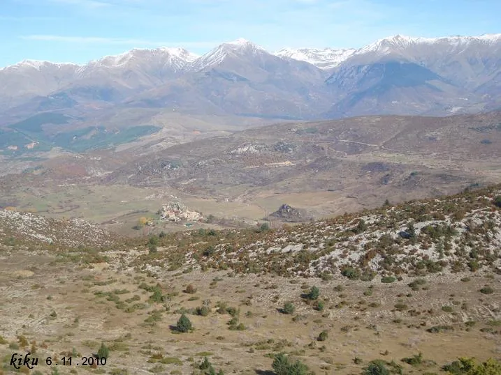
Graller del Portús
1.0 km · SW
Pont de Suert, El (Alta Ribagorça)
1 topo.14 photos
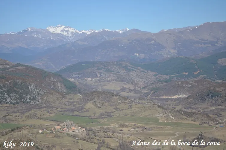
Cova de l'Avedoga
1.0 km · SE
Pont de Suert, El (Alta Ribagorça)
1 topo.4 photos
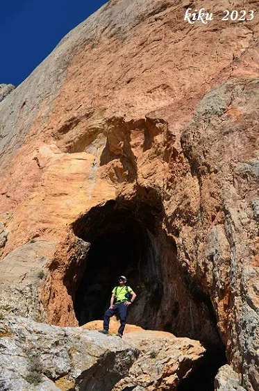
Forat Roig
1.5 km · SW
Tremp (Pallars Jussà)
1 topo.6 photos
Coves d'Adons
1.5 km · N
Pont de Suert, El (Alta Ribagorça)
3 topo.8 photos
Source: Espeleoindex (espeleoindex.com), modified. CC BY-NC 4.0, https://creativecommons.org/licenses/by-nc/4.0/