
Cova de l'Avedoga
Cova de 20 m de recorregut a Adons (Pont de Suert).
EspeleoWorld
Cova de l'Avedoga
Cova de 20 m de recorregut a Adons (Pont de Suert).
Pont de Suert, El · Alta Ribagorça
Length: 20 m · Depth: 7 m
Updated record
https://espeleoworld.com/en/c/cova-de-l-avedoga
Information can change. Always verify coordinates, access, weather, and cave conditions before setting out.
A 20 m long cave in Adons (Pont de Suert), known since time immemorial and visited by Antoni Satorra in 2019.
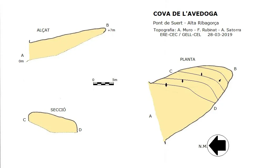
Topographic
Espeleoindex · CC BY-NC 4.0, https://creativecommons.org/licenses/by-nc/4.0/ · Image © its author.
Photos
Espeleoindex · CC BY-NC 4.0, https://creativecommons.org/licenses/by-nc/4.0/ · Image © its author.
Description
Morphology
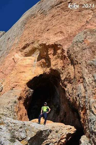
A wide porch measuring 15x4.57 metres places us in a gallery of almost 21 metres in length, where at its midpoint a steep upward slope begins and continues to the end; the dimensions of the gallery remain constant.
History
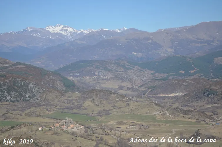
Known in Adons since time immemorial; in fact, the large entrance is perfectly visible from this village. Speleologically it has never been catalogued.
The first reference we have of the cavity is from the visit made by Antoni Satorra at the beginning of 2019.
User Comments (0)
No comments yet.
Be the first to share your experience!
Registered Explorations (0)
No explorations registered yet.
Register your visit to this cave!
Bibliography
- Coordenades, situació, dades, topografia i fotografies aportades per Antoni Satorra, Alba Muro (GELL del CEL) i Francesc Rubinat (ERE del CEC).
Nearby caves


Source: Espeleoindex (espeleoindex.com), modified. CC BY-NC 4.0, https://creativecommons.org/licenses/by-nc/4.0/