
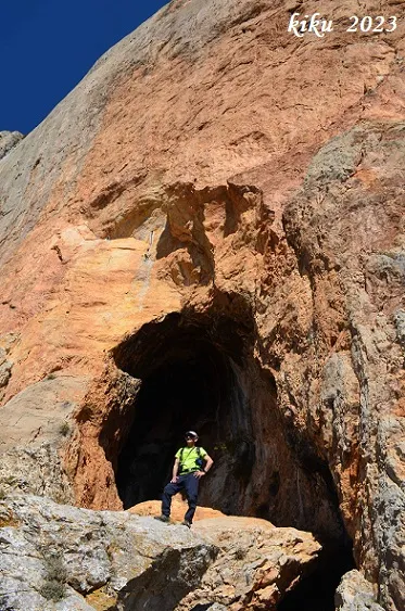
Forat Roig
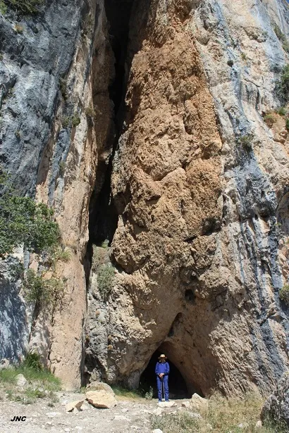
A 32 m long cave in the Serra de Sant Gervàs (Tremp), with an entrance 5 metres wide by about 15 metres high.
EspeleoWorld
Forat Roig
A 32 m long cave in the Serra de Sant Gervàs (Tremp), with an entrance 5 metres wide by about 15 metres high.
Tremp · Pallars Jussà
Length: 32 m · Depth: 5 m
Updated record
https://espeleoworld.com/en/c/forat-roig
Information can change. Always verify coordinates, access, weather, and cave conditions before setting out.
A 32 m long cave in the Serra de Sant Gervàs (Tremp), with an entrance 5 metres wide by about 15 metres high.
Topographic
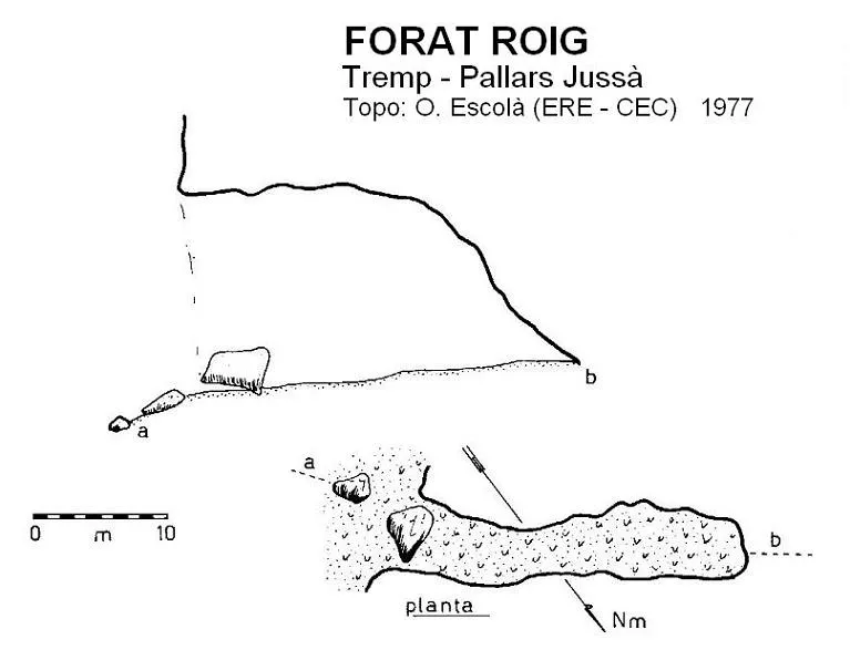
Espeleoindex · CC BY-NC 4.0, https://creativecommons.org/licenses/by-nc/4.0/ · Image © its author.
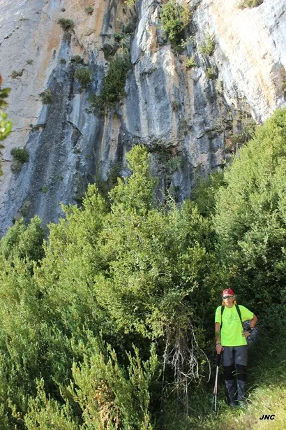
Photos
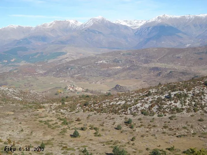
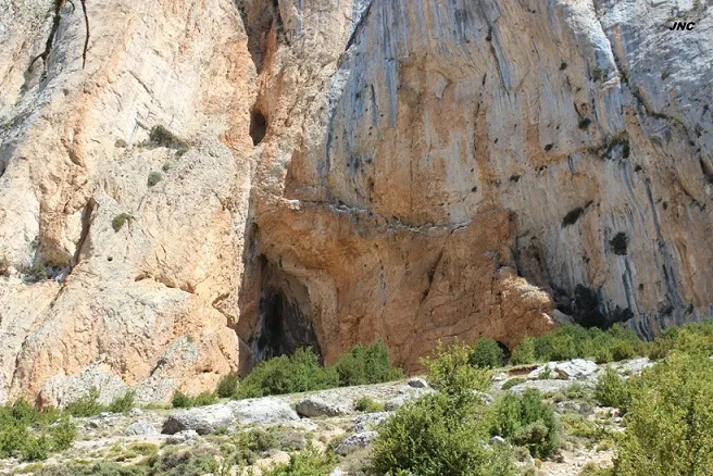
Espeleoindex · CC BY-NC 4.0, https://creativecommons.org/licenses/by-nc/4.0/ · Image © its author.
Description
Morphology
Entrance 5 metres wide by about 15 metres high, with clastic blocks, one of them measuring 5 x 3 metres half blocking the entrance. The ceiling is high until towards the end of the gallery, where it drops suddenly to the floor. The floor is slightly ascending.
Other details
The floor is covered by a good thickness of sheep droppings.
History
Although known since ancient times by the local people, the first speleological reference we know of is provided by R. Jeannel, who visited it on 18-7-1911 during his biospeleological campaigns.
It is not until 25-9-1977 that it is visited again by Oleguer Escolà and members of the ERE – CEC, also for biospeleological purposes, and they survey it.
User Comments (0)
No comments yet.
Be the first to share your experience!
Registered Explorations (0)
No explorations registered yet.
Register your visit to this cave!
Bibliography
- Borràs,J.; Miñarro,JM.; Talavera,F.(1979).-”El Pallars Jussà”. Catàleg Espeleològic de Catalunya (Vol.3): 1-211. Ed Políglota.Barcelona.
- Jeannel, R. Et Racovitza, E.G. (1912).- “Enumération des grottes visitées, 1909-1911”. Biospeologica (XXIV). Archives de Zoologie Expérimentale et Générale.
- Valles, Jordi de (2008).-”Alta Ribagorça, Pallars Jussà, Pallars Sobirà, Val d'Aran”. Catàleg Espeleològic de Catalunya (vol.1)1-319. EC Gràcia/FCE.
- Coordenades i fotografies facilitades per Francesc Rubinat (ERE-CEC) i Sergi Coronas (MADTEAM).
Nearby caves


Source: Espeleoindex (espeleoindex.com), modified. CC BY-NC 4.0, https://creativecommons.org/licenses/by-nc/4.0/