
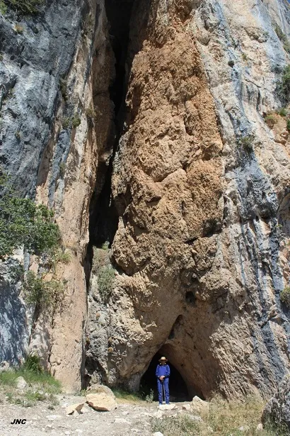
Cova Fosca de Sant Gervàs
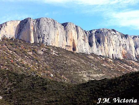
A 57 m long cave on the cingle of the serra de Sant Gervàs, with access from la Torre de Tamúrcia (Tremp) or from Adons (Pont de Suert).
EspeleoWorld
Cova Fosca de Sant Gervàs
A 57 m long cave on the cingle of the serra de Sant Gervàs, with access from la Torre de Tamúrcia (Tremp) or from Adons (Pont de Suert).
Tremp · Pallars Jussà
Length: 57 m
Updated record
https://espeleoworld.com/en/c/cova-fosca-de-sant-gervas
Information can change. Always verify coordinates, access, weather, and cave conditions before setting out.
A 57 m long cave on the cingle of the serra de Sant Gervàs, with access from la Torre de Tamúrcia (Tremp) or from Adons (Pont de Suert).
Topographic
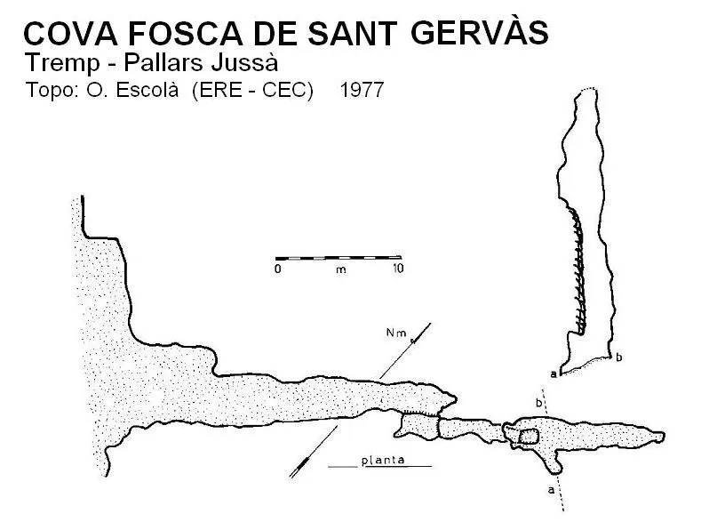
Espeleoindex · CC BY-NC 4.0, https://creativecommons.org/licenses/by-nc/4.0/ · Image © its author.
Photos
Espeleoindex · CC BY-NC 4.0, https://creativecommons.org/licenses/by-nc/4.0/ · Image © its author.
Description
Morphology
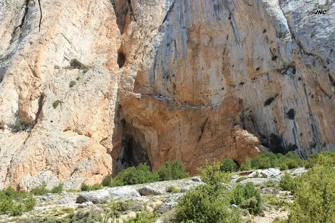
The vast porch that serves as the entrance gives access to a gallery about 25 metres long, at the back of which, on the right, a step up and an ascending gallery begin. Towards the end, the gallery exceeds 20 metres in height.
Speleothems
The ascending gallery has very few lithogenic formations. Towards the end, the gallery presents abundant parietal flowstone.
History
The first report we have is provided by R. Jeannel, who visited it on 18-7-1911 during his biospeleological campaigns.
It was not until 25-9-1977 that it was visited again by members of the ERE – CEC, who surveyed it.
User Comments (0)
No comments yet.
Be the first to share your experience!
Registered Explorations (0)
No explorations registered yet.
Register your visit to this cave!
Bibliography
- Borràs,J.; Miñarro,JM.; Talavera,F.(1979).-”El Pallars Jussà”. Catàleg Espeleològic de Catalunya (Vol.3): 1-211. Ed Políglota.Barcelona.
- Jeannel, R. Et Racovitza, E.G. (1912).- “Enumération des grottes visitées, 1909-1911”. Biospeologica (XXIV). Archives de Zoologie Expérimentale et Générale.
- Valles, Jordi de (2008).-”Alta Ribagorça, Pallars Jussà, Pallars Sobirà, Val d'Aran”. Catàleg Espeleològic de Catalunya (vol.1)1-319. EC Gràcia/FCE.
- Coordenades i fotografies facilitades per Antonio Satorra (†) l'any 2018.
- Dades i fotografies (JNC) facilitades per Jordi Navarro i Montse Mañosa (Centre Excursionista de Castellar del Vallès), agost de 2023.
Nearby caves
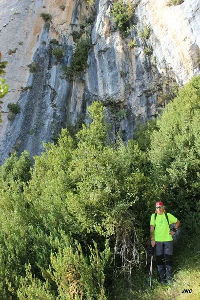
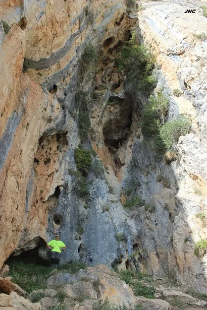


Source: Espeleoindex (espeleoindex.com), modified. CC BY-NC 4.0, https://creativecommons.org/licenses/by-nc/4.0/