
Esquerda del Llumí
Petit avenc de 13 m. de fondària a la Mola de Catí (el Port)
EspeleoWorld
Esquerda del Llumí
Petit avenc de 13 m. de fondària a la Mola de Catí (el Port)
Tortosa · Baix Ebre
Length: 24 m · Depth: 13 m
Updated record
https://espeleoworld.com/en/c/esquerda-del-llumi
Information can change. Always verify coordinates, access, weather, and cave conditions before setting out.
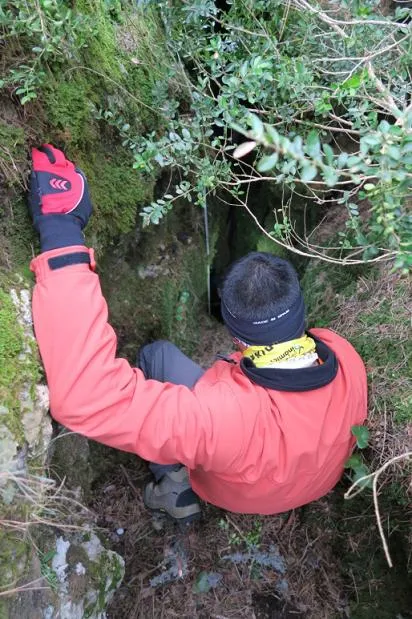
Small 13 m deep pit at the Mola de Catí (el Port), formed by a NW-SE trending fissure.
Topographic
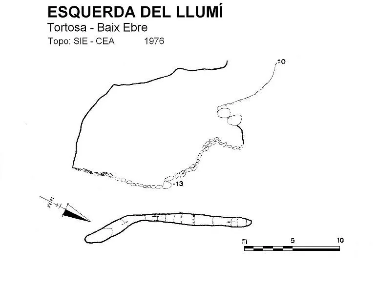
Espeleoindex · CC BY-NC 4.0, https://creativecommons.org/licenses/by-nc/4.0/ · Image © its author.
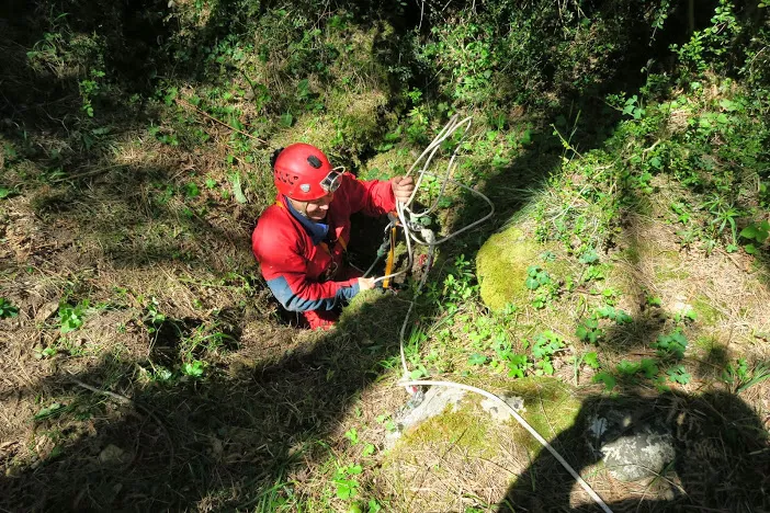
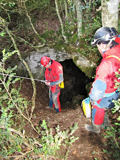
Photos
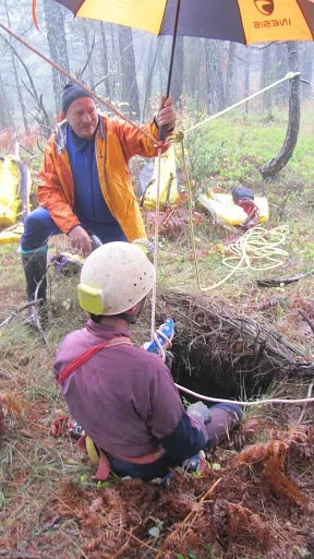
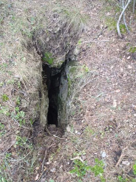
Espeleoindex · CC BY-NC 4.0, https://creativecommons.org/licenses/by-nc/4.0/ · Image © its author.
Description
Morphology
Small pit 13 m deep. Formed by a NW-SE trending fissure with a drop almost at its start, which allows reaching a gallery about 10 metres long, which in the first section descends and then ascends slightly in the last metres.
History
The only reference we know of is that of the SIE – CEA, which located and explored it on 19 March 1976.
User Comments (0)
No comments yet.
Be the first to share your experience!
Registered Explorations (0)
No explorations registered yet.
Register your visit to this cave!
Bibliography
- SIE (1978).- “Contribució al coneixement espeleològic dels Ports del Caro (Baix Ebre) (IV): La Mola de Catí i el Mont Caro”. EspeleoSie (21): 27-70. SIE-CE Àliga. Barcelona.
- Revisió de coordenades, situació i fotografies facilitades pel Club d'Espeleologia Dinàmic (Sant Carles de la Ràpita)
Nearby caves


Source: Espeleoindex (espeleoindex.com), modified. CC BY-NC 4.0, https://creativecommons.org/licenses/by-nc/4.0/