
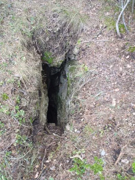
Avenc de Poy
Avenc de 25 m. de fondària a la Mola de Catí (el Port)
EspeleoWorld
Avenc de Poy
Avenc de 25 m. de fondària a la Mola de Catí (el Port)
Tortosa · Baix Ebre
Length: 45 m · Depth: 25 m
Updated record
https://espeleoworld.com/en/c/avenc-de-poy
Information can change. Always verify coordinates, access, weather, and cave conditions before setting out.
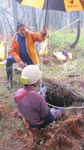
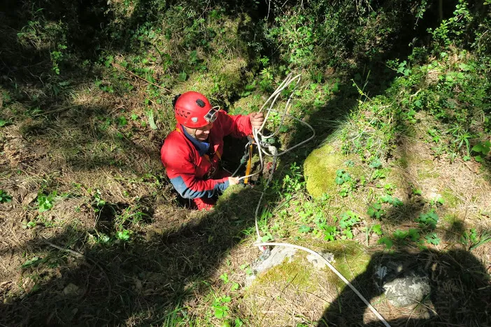
A 25 m deep pit at the Mola de Catí (el Port), in the eastern zone, near the municipal boundary of Alfara de Carles. Discovered in February 2010 by the Speleology Section of the UEC Tortosa.
Topographic
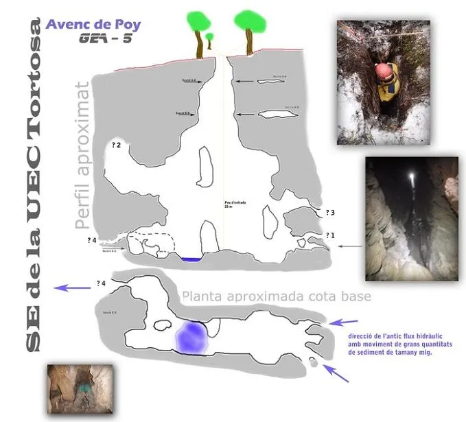
Espeleoindex · CC BY-NC 4.0, https://creativecommons.org/licenses/by-nc/4.0/ · Image © its author.
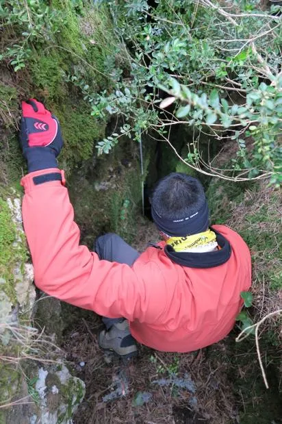
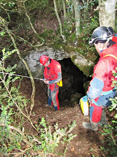
Photos
Espeleoindex · CC BY-NC 4.0, https://creativecommons.org/licenses/by-nc/4.0/ · Image © its author.
Description
Morphology
From a narrow entrance, you enter a pit that gradually widens until reaching 25 metres of depth. Both along its vertical course and at its base, various passages can be observed, all of them of short length.
Speleothems
There are small soda-straw formations that indicate a return period of at least 7 - 10 years, since they are formed on the very ceiling of the water circulation passages and are between 5 and 6 cm in length (approximate data according to average soda-straw growth).
Hydrology
The part discovered so far is quite beautiful, and there are clear indications that a very important ancient watercourse has been found. The main indication is the distribution of the sediment at the base level of the pit; this is found about 25 metres below ground level and this sediment is placed in such a way that a sediment pothole formation formed by a whirlpool with a horizontal axis can be observed; this phenomenon is what helps empty the sediment from rock potholes in the ravines, and in this pit it has been capable of eroding the compacted sediment to the point of creating a pothole. This pothole was what caught our attention the most, and after stirring around for a while we were able to locate the possible water inlets and outlets at its passage through the cavity that we have explored so far. In the upper part (upstream), we located two holes from which a large quantity of water had come out, since once again the sediment had been forced and burst several times over the life of the cavity, but for now the passages are too narrow to pass through, although in one of them a cavity can be seen on the other side and therefore it motivates us with the idea of forcing the passage to continue exploring. In the lower part (downstream), we opened a small passage through the loosely compacted sediment (a passage called "Lo pas del menobre Camarlenc") that let us see where the cavity drains, but at first sight it will be unviable to force, since it is narrow along too long a passage. This datum clearly indicates that we are before a barely active watercourse, and that it only gains strength in very intense rain episodes.
History
Discovered about two months before its exploration (February of the year 2010) by members of the Speleology Section of the UEC Tortosa.
User Comments (0)
No comments yet.
Be the first to share your experience!
Registered Explorations (0)
No explorations registered yet.
Register your visit to this cave!
Bibliography
- Totes les dades han estat extretes del blog de la Secció d'Espeleologia de la UEC Tortosa.
Nearby caves


Source: Espeleoindex (espeleoindex.com), modified. CC BY-NC 4.0, https://creativecommons.org/licenses/by-nc/4.0/