
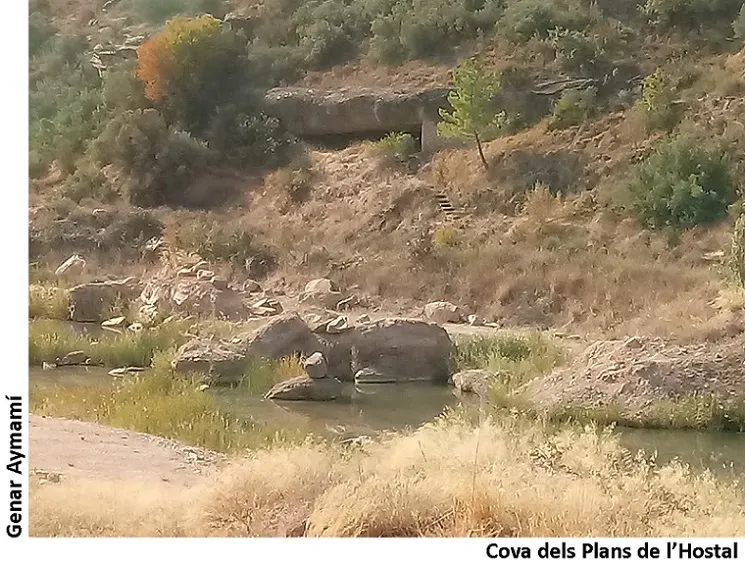
Cova dels Plans de l'hostal
A 26 m wide rock shelter in Cervià de les Garrigues, with a flat floor and a constant height of 2 m, formerly enclosed by a dry-stone wall.
EspeleoWorld
Cova dels Plans de l'hostal
A 26 m wide rock shelter in Cervià de les Garrigues, with a flat floor and a constant height of 2 m, formerly enclosed by a dry-stone wall.
Cervià de les Garrigues · Garrigues
Length: 8 m
Updated record
https://espeleoworld.com/en/c/cova-dels-plans-de-l-hostal
Information can change. Always verify coordinates, access, weather, and cave conditions before setting out.
A 26 m wide rock shelter in Cervià de les Garrigues, with a flat floor and a constant height of 2 m, formerly enclosed by a dry-stone wall.
Topographic
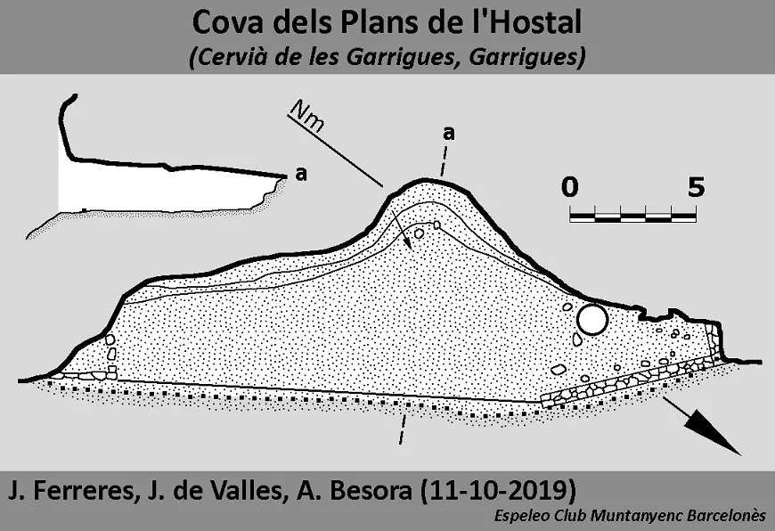

Espeleoindex · CC BY-NC 4.0, https://creativecommons.org/licenses/by-nc/4.0/ · Image © its author.
Photos

Espeleoindex · CC BY-NC 4.0, https://creativecommons.org/licenses/by-nc/4.0/ · Image © its author.
Description
Morphology
Rock shelter 26 m wide. The floor is flat, and the height, 2 m, is constant.
Other details
It was formerly enclosed by a dry-stone wall, of which today only a 7 m stretch at the N end remains standing, since it was demolished to use the rock shelter as a chicken coop, now disused.
History
Known since time immemorial. Catalogued by members of the ECM Barcelonès in October 2019.
(Note from Espeleoíndex): From an excursion carried out by Cels Gomis in 1881 and about which he wrote an article the following year, there is no doubt that the cova dels Plans de l'Hostal is the one he cites as Cova de les Gralles.
Gomis, Cels (1882).- “Un passeig per las Garrigas”. Butlletí de l'Associació d'Excursions Catalanes Any V (42-43): 43-53. Here it says verbatim:
Poch més avall de las Bessas y en la vora esquerra del riu Set hi ha una bauma coneguda ab lo nom de Cova de las Grallas. Lo 23 de Septembre de 1874 moríren ofegats dins de aquesta cova vint y tants carlins de la partida d'En Baró que s'hi havían soplujat. Aquell dia las ayguas del Set arribáren á tenir devant del Molí Vell de Manresa, á Cerviá, una altura de 5,60 damunt de son llit, ocupant una secció transversal de 285 metres quadrats.(sic)
This citation is collected by Puig y Larraz in his work Cavernas y simas de España (1896) and was later included in the catalogues of Font i Sagué (1897) and Faura i Sans (1909).
Recently Joan Ramon Segura, doing research on the cova de les Gralles or dels Carlins, in his blog includes a map from 1920 made by the surveyor Fernando Presas on which he locates the cova de les Gralles at the place where the cova dels Plans de l'Hostal is found. On this map the cova del Pobre is also located, which would coincide with the one currently cited as cova de les Gralles no. 5.
User Comments (0)
No comments yet.
Be the first to share your experience!
Registered Explorations (0)
No explorations registered yet.
Register your visit to this cave!
Bibliography
- Gomis, Cels (1882).-“Un passeig per las Garrigas”. Butlletí de l'Associació d'Excursions Catalanes Any V (42-43): 43-53.
- Iglesies Fort, Josep (1971).-L'Aiguat de Santa Tecla. Col.lecció Episodis de la història 156. Ed Rafael Dalmau. Barcelona.
- Dades, topografia i fotografies han estat extretes del blog: cavitatsdecatalunya.blogspot (de Jordi de Valles). Apunt del 10-6-2020. Dades: Espeleo Club Muntanyenc Barcelonès
- Mapa i dades extretes del blog de Joan Ramon Segura. (excursionsdeljoanramon.blogspot.com/2025/01/on-es-la-llegendaria-cova-de-les.html)
Nearby caves
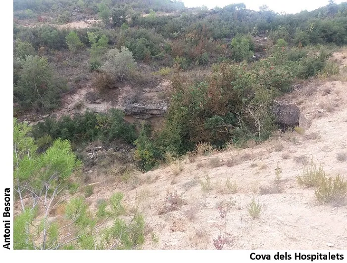
Cova dels Hospitalets
0.4 km · W
Cervià de les Garrigues (Garrigues)
1 topo.2 photos
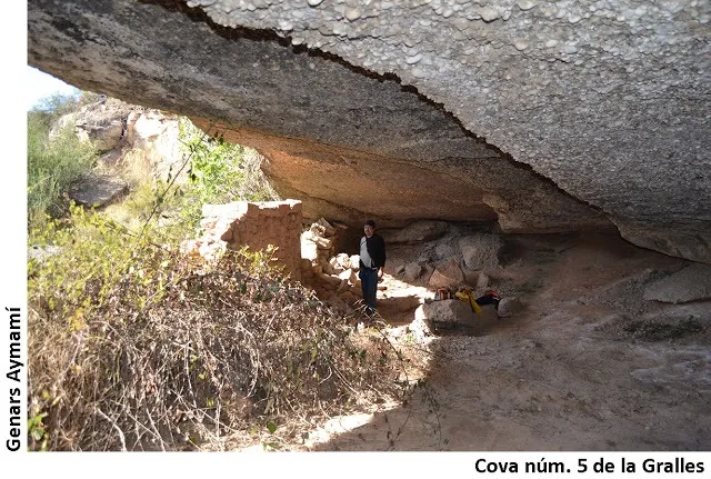
Cova Nº5 de les Gralles
0.8 km · W
Cervià de les Garrigues (Garrigues)
1 topo.2 photos
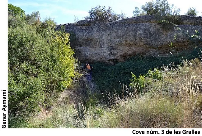
Cova Nº3 de les Gralles
1.0 km · W
Cervià de les Garrigues (Garrigues)
1 topo.2 photos
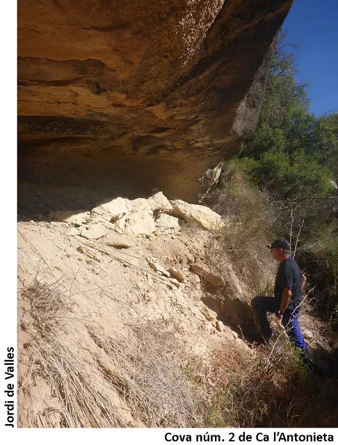
Balma Nº2 de Ca l'antonieta
1.5 km · SE
Cervià de les Garrigues (Garrigues)
1 topo.2 photos
Source: Espeleoindex (espeleoindex.com), modified. CC BY-NC 4.0, https://creativecommons.org/licenses/by-nc/4.0/