
Cova del Castellot
Petita cova de 12 metres de recorregut a Josa i Tuixén
EspeleoWorld
Cova del Castellot
Petita cova de 12 metres de recorregut a Josa i Tuixén
Josa i Tuixén · Alt Urgell
Length: 12 m · Depth: 6 m
Updated record
https://espeleoworld.com/en/c/cova-del-castellot-josa-i-tuixen
Information can change. Always verify coordinates, access, weather, and cave conditions before setting out.
Small cave with a 12-metre passage in Josa i Tuixén, with a short ramp that ends collapsed by blocks.
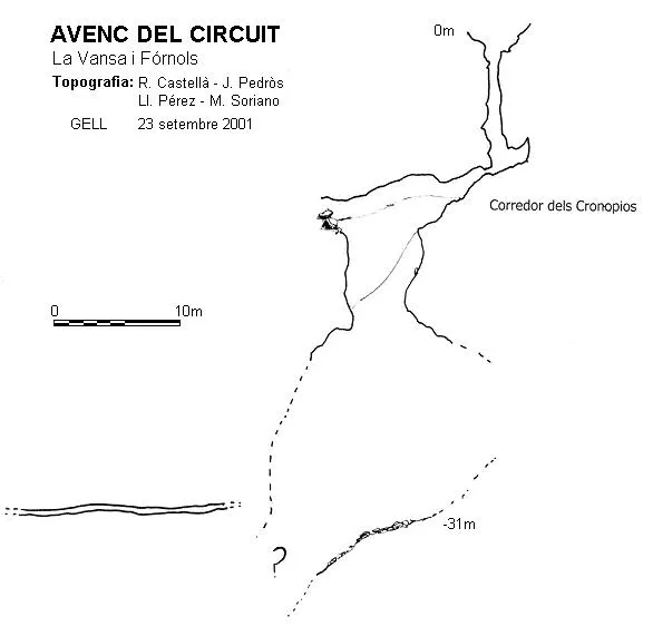
Topographic
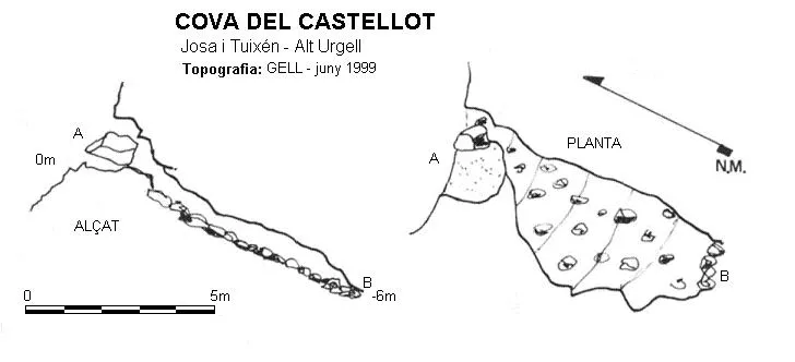
Espeleoindex · CC BY-NC 4.0, https://creativecommons.org/licenses/by-nc/4.0/ · Image © its author.
Description
Morphology
It consists of a short ramp that ends collapsed by blocks within a few metres.
History
The first exploration of which there is record was carried out by the GELL in 1999.
User Comments (0)
No comments yet.
Be the first to share your experience!
Registered Explorations (0)
No explorations registered yet.
Register your visit to this cave!
Bibliography
Pérez,Lluís; Gàzquez, Norbert; Gàzquez, Josep Lluís. (2006).-“Alt Urgell. Alinyà – La Vansa”. Grallera (6):35-69. GELL-CE Lleida.
Nearby caves

Source: Espeleoindex (espeleoindex.com), modified. CC BY-NC 4.0, https://creativecommons.org/licenses/by-nc/4.0/