
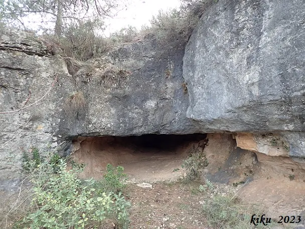
Cova de les Núvies
Tunnel-shaped cave that crosses part of the cliff face, in Cornudella de Montsant.
EspeleoWorld
Cova de les Núvies
Tunnel-shaped cave that crosses part of the cliff face, in Cornudella de Montsant.
Cornudella de Montsant · Priorat
Length: 21 m
Updated record
https://espeleoworld.com/en/c/cova-de-les-nuvies
Information can change. Always verify coordinates, access, weather, and cave conditions before setting out.
Tunnel-shaped cave that crosses part of the cliff face, in Cornudella de Montsant.
Topographic
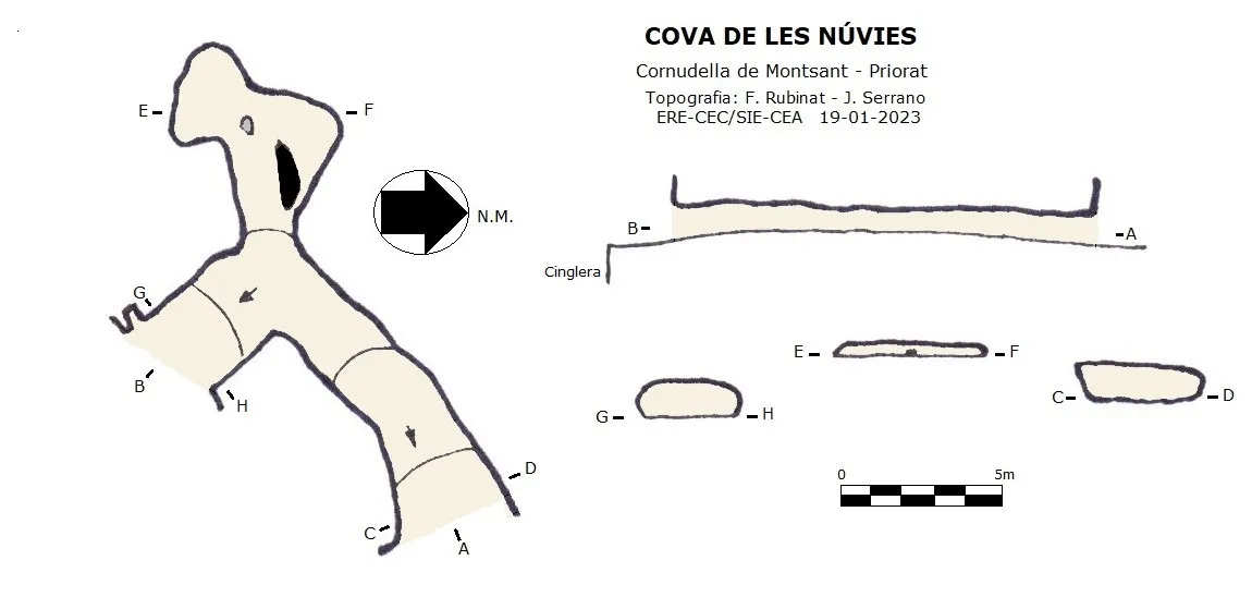

Espeleoindex · CC BY-NC 4.0, https://creativecommons.org/licenses/by-nc/4.0/ · Image © its author.
Photos

Espeleoindex · CC BY-NC 4.0, https://creativecommons.org/licenses/by-nc/4.0/ · Image © its author.
Description
Morphology
It is a passage about 14 metres long that crosses part of the cliff from one side to the other. Inside we find a small side passage with a very low ceiling, 7 metres long.
History
Known since ancient times both in la Febró and in Siurana.
User Comments (0)
No comments yet.
Be the first to share your experience!
Registered Explorations (0)
No explorations registered yet.
Register your visit to this cave!
Bibliography
- Albert Manent (1967).- Toponímia del terme municipal de la Febró. (Premi Eduard Brossa 1968 de la Societat Catalana de Geografia). Butlletí Arqueològic. Reial Societat Arqueològica Tarraconense, 1973, Núm. 121-128, pp. 163-192.
- Dades, coordenades, topografia i fotografies facilitades per Juli Serrano (SIE-CEA) i Francesc Rubinat (ERE-CEC).
Nearby caves
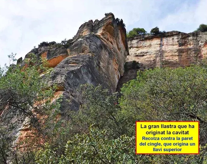
Avenc del Mas de la Barba
0.5 km · NW
Cornudella de Montsant (Priorat)
1 topo.6 photos
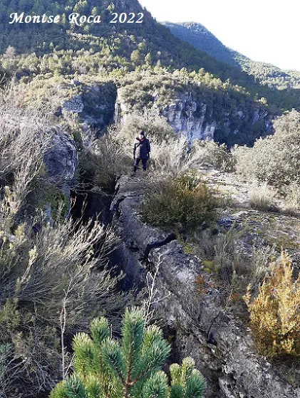
Avenc Desenrocat dels Castellans
0.8 km · E
Febró, La (Baix Camp)
2 topo.14 photos
Cova Tosca
1.2 km · SW
Cornudella de Montsant (Priorat)
1 topo.3 photos
Cova de Porta-lloret
1.2 km · SW
Cornudella de Montsant (Priorat)
3 topo.4 photos
Source: Espeleoindex (espeleoindex.com), modified. CC BY-NC 4.0, https://creativecommons.org/licenses/by-nc/4.0/