
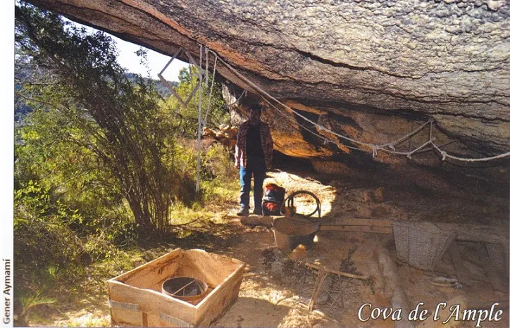
Cova de l'Ample
Balma obrada a la Granadella
EspeleoWorld
Cova de l'Ample
Balma obrada a la Granadella
Granadella, La · Garrigues
Length: 8 m
Updated record
https://espeleoworld.com/en/c/cova-de-l-ample
Information can change. Always verify coordinates, access, weather, and cave conditions before setting out.
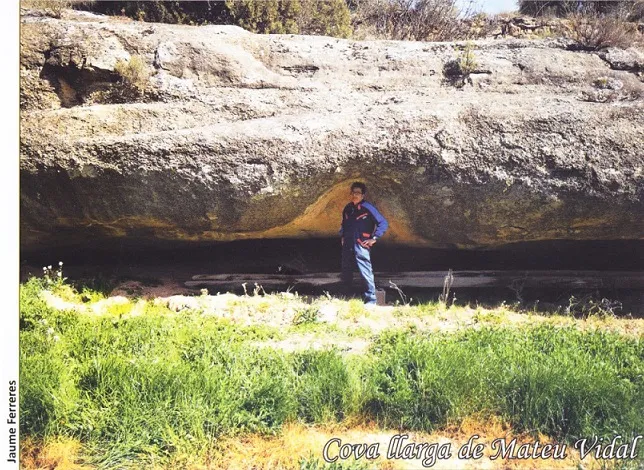
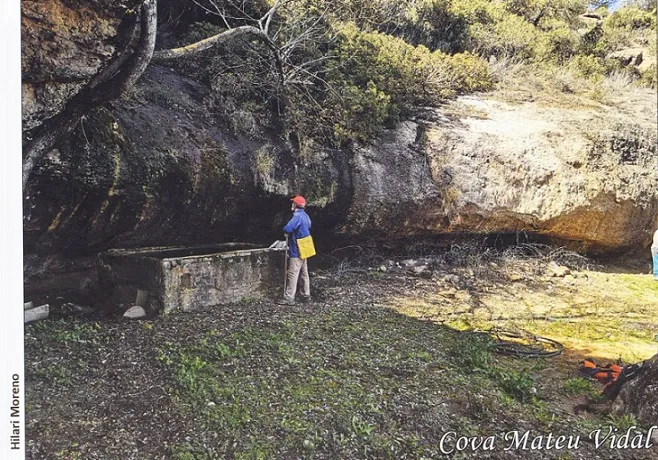
A rock shelter in La Granadella, 25 metres wide by 8 metres deep, known and used since ancient times.
Topographic
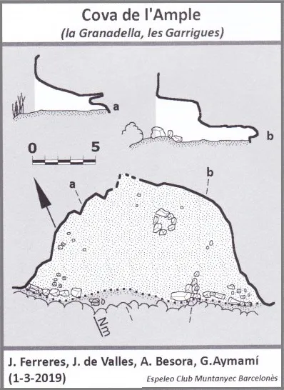
Espeleoindex · CC BY-NC 4.0, https://creativecommons.org/licenses/by-nc/4.0/ · Image © its author.
Photos
Espeleoindex · CC BY-NC 4.0, https://creativecommons.org/licenses/by-nc/4.0/ · Image © its author.
Description
Morphology
Rock shelter 25 metres wide by 8 metres deep. It still preserves a small stretch of wall at both ends.
Other details
Inside there are old farming tools scattered about, wood, plastics, a pannier, ropes and a couple of sieves.
History
Known and used since ancient times.
User Comments (0)
No comments yet.
Be the first to share your experience!
Registered Explorations (0)
No explorations registered yet.
Register your visit to this cave!
Bibliography
- Aymamí, Gener; Valles, Jordi de; Ferreres, Jaume; et altres (2022).-Les Coves de la Granadella, les Garrigues. 1-145. Ajuntament de la Granadella.
Nearby caves
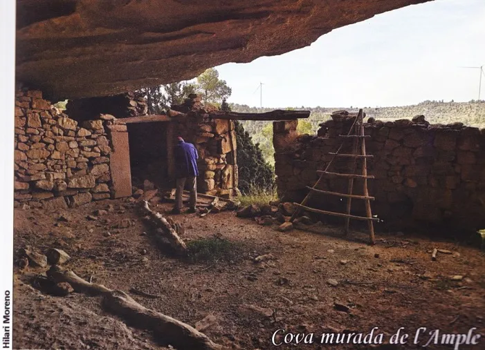
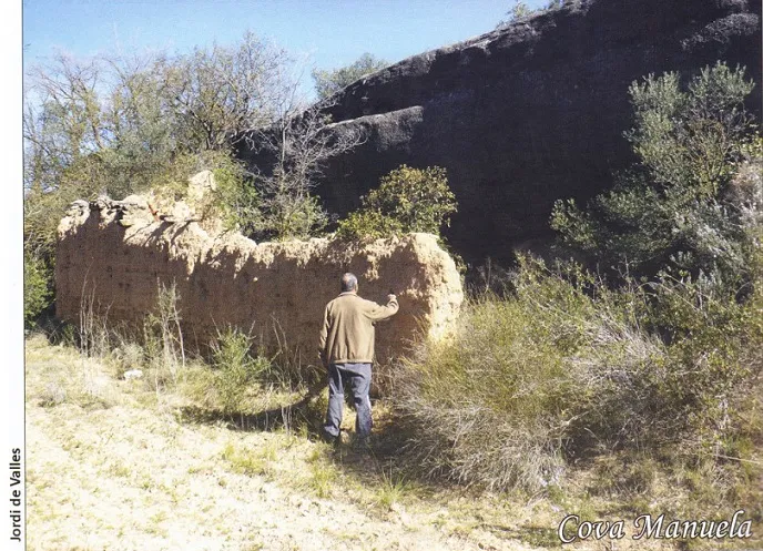


Source: Espeleoindex (espeleoindex.com), modified. CC BY-NC 4.0, https://creativecommons.org/licenses/by-nc/4.0/