

Cau dels Hereus
A pit about 8 metres deep in the Montgrí, long known to local people and explored by the SIE-CEA in the years 2006-2007.
EspeleoWorld
Cau dels Hereus
A pit about 8 metres deep in the Montgrí, long known to local people and explored by the SIE-CEA in the years 2006-2007.
Torroella de Montgrí · Baix Empordà
Length: 12 m · Depth: 8 m
Updated record
https://espeleoworld.com/en/c/cau-dels-hereus
Information can change. Always verify coordinates, access, weather, and cave conditions before setting out.
A pit about 8 metres deep in the Montgrí, long known to local people and explored by the SIE-CEA in the years 2006-2007.
Photos

Espeleoindex · CC BY-NC 4.0, https://creativecommons.org/licenses/by-nc/4.0/ · Image © its author.
Description
Morphology
It opens at one end of a fissure; a 1.70-metre pit places us on a small ledge where someone has jammed an enormous block that blocks the way, but which could feasibly be cleared. It seems that the pit continued at a steep incline down to -8 metres.
Other details
No survey is available.
History
Long known to local people. It was explored by the SIE-CEA during the course of the campaign carried out in the Montgrí in the years 2006-2007.
User Comments (0)
No comments yet.
Be the first to share your experience!
Registered Explorations (0)
No explorations registered yet.
Register your visit to this cave!
Bibliography
- Arbusé Bellapart, Narcís (2005).-El Montgrí pas a pas. 174 pp. Cossetània Edicions. Valls
- Valles, Jordi de (2010).-”Alt Empordà, Baix Empordà, Gironès, Osona, Pla de l'Estany, Selva”. Catàleg Espeleològic de Catalunya. (Vol.4):1-397. Espeleo Club de Gràcia / Federació Catalana d'Espeleologia.
- Dades, coordenades i fotos aportades per Juli Serrano (SIE-CEA) i Francesc Rubinat (ERE-CEC)
Nearby caves
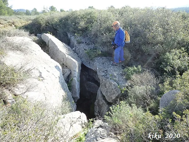
Cau Gran de la Carnisseria
0.3 km · SW
Torroella de Montgrí (Baix Empordà)
1 topo.9 photos

Cau Petit de la Carnisseria
0.4 km · S
Torroella de Montgrí (Baix Empordà)
1 topo.5 photos
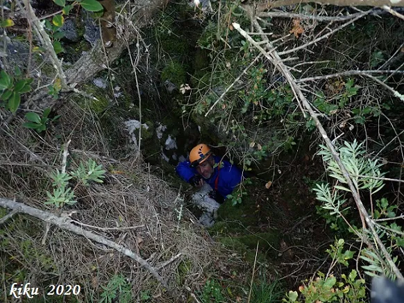
el Cisternó Ample
0.4 km · W
Torroella de Montgrí (Baix Empordà)
1 topo.5 photos
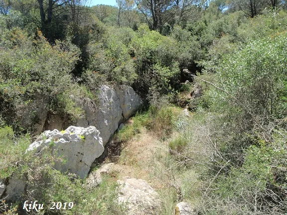
Cova d'en Joan Falgàs
0.5 km · S
Torroella de Montgrí (Baix Empordà)
1 topo.5 photos
Source: Espeleoindex (espeleoindex.com), modified. CC BY-NC 4.0, https://creativecommons.org/licenses/by-nc/4.0/