
Balmes d'Uja
Coneguda balma a l'Alta Garrotxa
EspeleoWorld
Balmes d'Uja
Coneguda balma a l'Alta Garrotxa
Montagut i Oix · Garrotxa
Length: 5 m
Updated record
https://espeleoworld.com/en/c/balmes-d-uja
Information can change. Always verify coordinates, access, weather, and cave conditions before setting out.
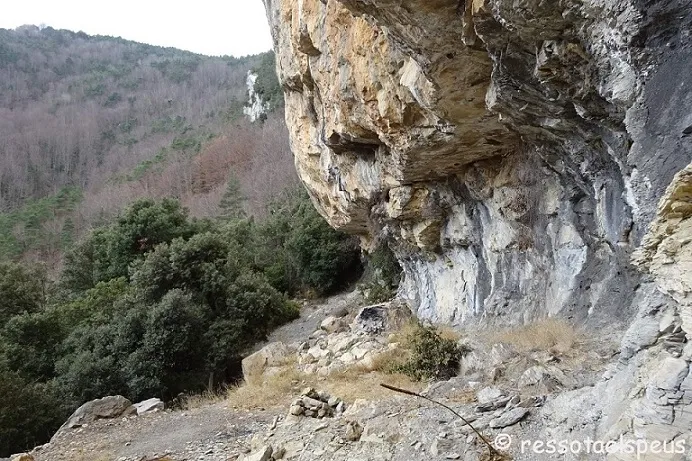
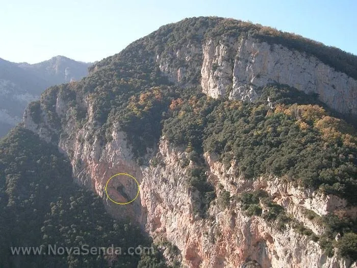
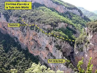
A well-known rock shelter in Alta Garrotxa, mentioned since long ago in the routes of the Sant Aniol d'Aguja area.
Photos
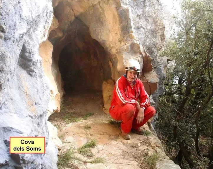
Espeleoindex · CC BY-NC 4.0, https://creativecommons.org/licenses/by-nc/4.0/ · Image © its author.
Description
Morphology
It is a long, shallow rock shelter. We do not have a survey, so we do not know the exact dimensions of the rock shelter.
History
Mentioned since long ago in most hiking routes in the Sant Aniol d'Aguja area.
User Comments (0)
No comments yet.
Be the first to share your experience!
Registered Explorations (0)
No explorations registered yet.
Register your visit to this cave!
Bibliography
- Dades, coordenades i fotografies extretes de: (Wikiloc, Tiracims) post del 18-01-2018; (ressotaelspeus.blogspot.com) post del 23-01-2018; (muntanya.planasantich.org) post del 27-06-2014 i (www.novasenda.com).
Nearby caves

Source: Espeleoindex (espeleoindex.com), modified. CC BY-NC 4.0, https://creativecommons.org/licenses/by-nc/4.0/