Cova del Pla de Vaca

Cova del Pla de Vaca

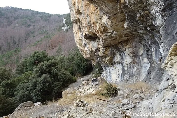
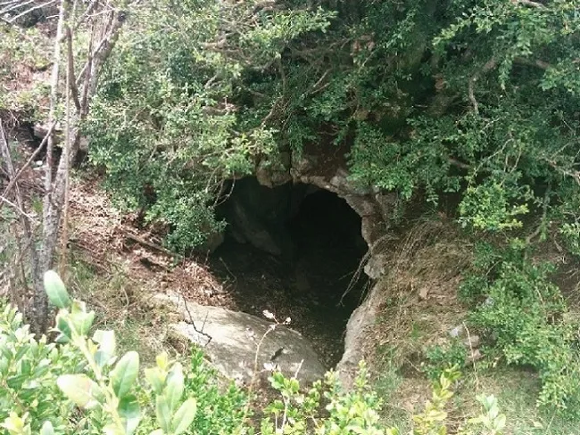
Petit túnel que travessa un cinglet sota el Pla de Vaca (Montagut i Oix)

Montagut i Oix • Garrotxa10m1m

Small tunnel of about 10 metres that crosses a cinglet below the Pla de Vaca, in Montagut i Oix, with two entrances and no survey.

Characteristics

Location

The cavity is located below the Pla de Vaca, in the municipality of Montagut i Oix.

From Camprodon, follow the C-38 road and turn right onto the GIV-5223 road towards Beget. At kilometre 8.5, turn left onto a track in fairly good condition that leads in about 8 kilometres to the Coll de Ferriol, where the Basses de Monars are.

Skirt the Bassa and look for a trail sign to follow towards Monars. From here the route is always downhill along a wooded but clear path, between natural walls until it reaches a flat area with the ruined house of the Corral de Mas Mitjà.

The shortcut leaves the house on the left and continues descending to Mas Mitjà, which is inhabited. Past the Mas, the path descends to the left to the chapel of Sant Sebastià de Monars, which now serves as the hayloft of Cal Bessó. The route passes through the middle of Cal Bessó, also inhabited, and Sant Sebastià de Monars and continues onwards to the Torrent de la Font de Monars, which must be crossed on some stone stepping stones and continue to the right. After the torrent, the path begins to climb imperceptibly to the Mas de l'Om, also inhabited.

These three inhabited farmhouses can only be reached on foot. Their tenant farmers transport supplies with pack animals.

From the Mas de l'Om, the path begins to climb seriously to the Pla de Vaca, where we will find the cave.

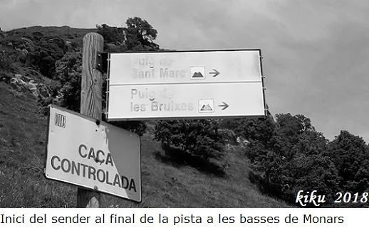
Another alternative route to access it is from the end of the track of the basses de Monars, and follow the path that leads to the Forat del Puig de les Bruixes; once at the font del Puig de les Bruixes, continue towards les Collades and the Coll de Sant Marc; about 350 metres before reaching les Collades we will turn right in a steep descent to look for the Collet de l'Estret, the Pujant Gros and head for the Pla de Vaca; at the end of this is the cavity. This route is one kilometre shorter than the previous one and also has less elevation gain; on the other hand there is the section that descends to the Collet de l'Estret, where there is no signposted path.

Mapa

Entrances

Always verify coordinates and access conditions before setting out.

  1. Boca Nord

    Elevation: 1116 m

    42.318684, 2.549927
    UTM 31T (ETRS89) 462912 4685258
  2. Boca Sud

    Elevation: 1115 m

    42.318607, 2.549861
    UTM 31T (ETRS89) 462907 4685249
Download all entrances as GPX

Photos

Cova del Pla de Vaca - Photo, Montagut i Oix, GarrotxaView image
Click to enlarge

Espeleoindex · CC BY-NC 4.0, https://creativecommons.org/licenses/by-nc/4.0/ · Image © its author.

Image 1 of 4

Description

Morphology

It is a conduit about 10 metres long with an average section of 1.5 metres, with two entrances, one located at one end of the Pla de Vaca and the other opening onto the cingle.

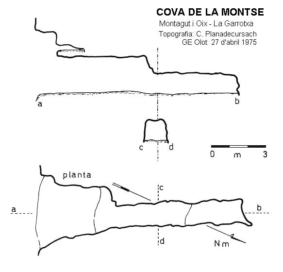
No survey is available, so the dimensions given are approximate.

History

The first reference we know of this small cavity is the one that appeared in a hiking note by members of the CE d'Olot in 1981.

It seems to be fairly well known by hikers.

User Comments (0)

No comments yet.

Be the first to share your experience!

Registered Explorations (0)

No explorations registered yet.

Register your visit to this cave!

Bibliography

  1. Agustí, Kim (1981).- “Sant Marc pel pujant de la Soca i la Cova del Pla de la Vaca”. Circular del Centre Excursionista d'Olot (57)
  • Totes les dades i fotografies han estat extretes de Wikiloc: (Familia Senglana: Monars-Puig de les Bruixes-Comanegra, post del 21-12-2014) i (Perecast: Oix-Puig de Sant Marc-Oix, post del 25-04-2015).

Source: Espeleoindex (espeleoindex.com), modified. CC BY-NC 4.0, https://creativecommons.org/licenses/by-nc/4.0/