
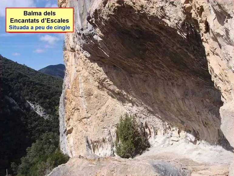
Balma dels Encantats d'escales
Espaiosa balma al cingle dels Encantats (Montagut i Oix)
EspeleoWorld
Balma dels Encantats d'escales
Espaiosa balma al cingle dels Encantats (Montagut i Oix)
Montagut i Oix · Garrotxa
Length: 12 m
Updated record
https://espeleoworld.com/en/c/balma-dels-encantats-d-escales
Information can change. Always verify coordinates, access, weather, and cave conditions before setting out.
Spacious rock shelter on the cingle dels Encantats, in Montagut i Oix, above the riera d'Escales.
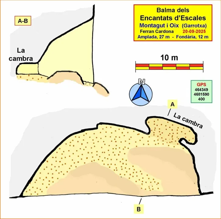
Topographic

Espeleoindex · CC BY-NC 4.0, https://creativecommons.org/licenses/by-nc/4.0/ · Image © its author.
Photos

Espeleoindex · CC BY-NC 4.0, https://creativecommons.org/licenses/by-nc/4.0/ · Image © its author.
Description
Morphology
Rock shelter about 27 m wide and with a height exceeding 10 m, very sunny due to its south orientation. It appears as a large overhang in the cingle. The floor is somewhat inclined and has significant stretches of bare rock. It constitutes a good viewpoint towards the valley of the riera d'Escales. On its eastern side a kind of small cave opens at the back of the rock shelter, la cambra, which is about 8 m long. The depth reaches 12 m.
Speleothems
Also noteworthy are some beautiful concretions found on the very wall of the rock shelter.
Progression
To get there, we will start from the village of Oix and follow the road towards Beget for about a kilometre, where a track leaves on the right towards the vall d'Hortmoier. When we have gone a little more than two kilometres along it we will cross the so-called Pont Trencat and immediately a path leaves on the right that heads for the riera; we will cross it and continue parallel to it along the right slope. Further on we will pass in front of the Tuta d'Escales, which we will find right next to the path itself. Shortly afterwards the path crosses the camp del Bac, in fact a large clearing in the forest, to reach the bed of the riera d'Escales again. From here on the itinerary becomes complicated. We will cross the riera and climb up the other slope, scrambling up some rocks (if the riera is dry, there is a more recommendable passage about 150 m downstream, where the riera has turned towards the east). After the scramble we will find a faint trail that is difficult to follow and has some awkward steps, so care is needed. The trail turns east and gradually rises to reach the foot of the cingle dels Encantats. Now we only have to follow it and come across the different caves and rock shelters found there.
History
Cavities known to local hikers and some people from the area. Mentioned in the description of some hiking itineraries since they are next to a path, although a precarious and very little-travelled one.
Among the hiking itineraries we will mention the book Itineraris de l'Alta Garrotxa (II), by Joaquim Agustí Bassols, year 1986.
User Comments (0)
No comments yet.
Be the first to share your experience!
Registered Explorations (0)
No explorations registered yet.
Register your visit to this cave!
Bibliography
Totes les dades, topografia i fotografies han estat extretes del web: geb.cat (del Grup d'Espeleologia de Badalona). Apunt del 30-9-2025. Dades: Ferran Cardona (ECM Barcelonès)
Nearby caves
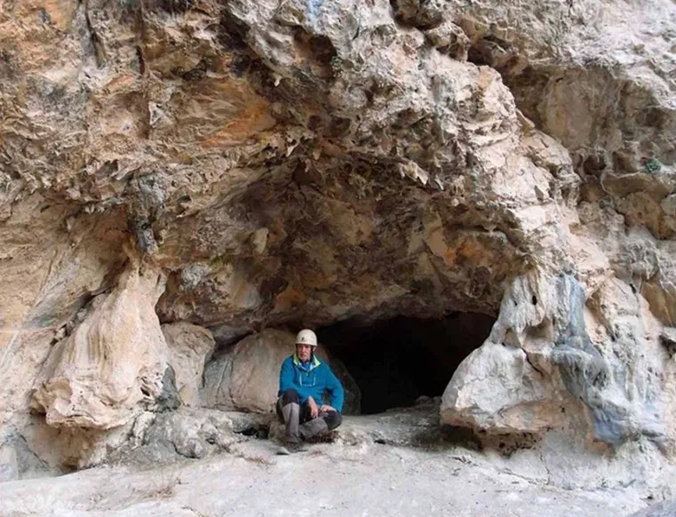
Cova dels Encantats d'escales
0.1 km · E
Montagut i Oix (Garrotxa)
1 topo.4 photos
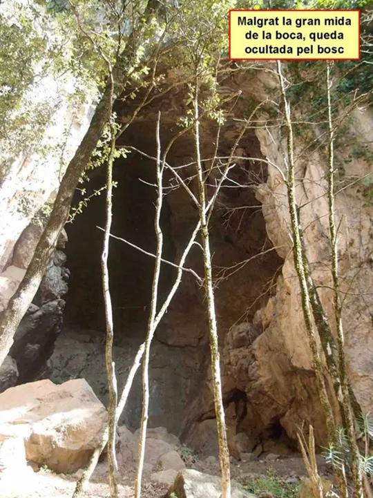
Forat Negre d'escales
0.4 km · SE
Montagut i Oix (Garrotxa)
1 topo.6 photos
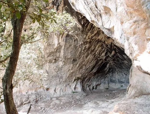
Bauma del Corneta
0.5 km · E
Montagut i Oix (Garrotxa)
1 topo.5 photos
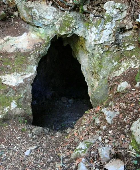
Tuta d'Escales
0.6 km · W
Montagut i Oix (Garrotxa)
1 topo.2 photos
Source: Espeleoindex (espeleoindex.com), modified. CC BY-NC 4.0, https://creativecommons.org/licenses/by-nc/4.0/