
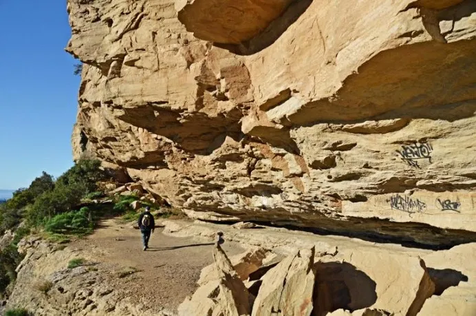
Balma del Traver
Large rock shelter near the Cau de la Guilla, in the Cingles de Bertí, 132 m long, 10 m deep and 7 m maximum height.
EspeleoWorld
Balma del Traver
Large rock shelter near the Cau de la Guilla, in the Cingles de Bertí, 132 m long, 10 m deep and 7 m maximum height.
Sant Quirze Safaja · Moianès
Length: 10 m
Updated record
https://espeleoworld.com/en/c/balma-del-traver
Information can change. Always verify coordinates, access, weather, and cave conditions before setting out.
Large rock shelter near the Cau de la Guilla, in the Cingles de Bertí, 132 m long, 10 m deep and 7 m maximum height.
Topographic
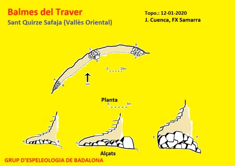
Espeleoindex · CC BY-NC 4.0, https://creativecommons.org/licenses/by-nc/4.0/ · Image © its author.
Photos
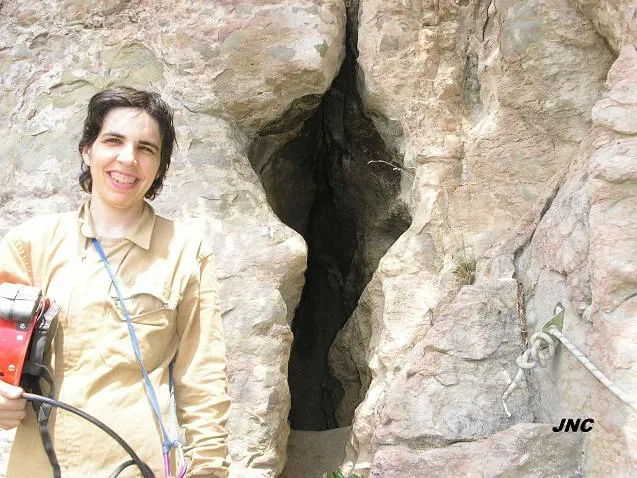
Espeleoindex · CC BY-NC 4.0, https://creativecommons.org/licenses/by-nc/4.0/ · Image © its author.
Description
Morphology
Large rock shelter 132 m long by 10 m deep and a maximum height of 7 m. The cavity is occupied by large blocks fallen from the walls of the cliff. In the eastern sector of the rock shelter, between blocks, one can descend up to 3 m upon reaching the original floor of the rock shelter.
History
Known since time immemorial.
This rock shelter was spotted by N. Font i Sagué on the excursion he made to the Cingles de Bertí in 1897. That same year he included it in his Catàlech.
User Comments (0)
No comments yet.
Be the first to share your experience!
Registered Explorations (0)
No explorations registered yet.
Register your visit to this cave!
Bibliography
- Borràs, J.; Miñarro, JM.; Talavera, F. (1980).- Catàleg Espeleològic de Catalunya (vol. 6): el Baix Empordà, el Gironès, la Selva, l'Osona, el Vallès Oriental i el Maresme: 290 pp. Ed. Políglota. Barcelona.
- Actualització de dades, topografia i fotografies extretes del web: geb.cat (del Grup d'Espeleologia de Badalona). Apunt del 3-3-2020. Dades: Ana Ruiz, Josep Cuenca i Xavier Samarra (GEB)
Nearby caves
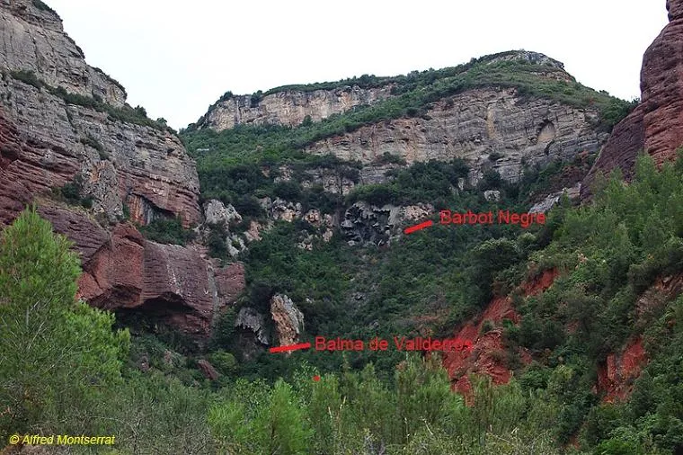


Source: Espeleoindex (espeleoindex.com), modified. CC BY-NC 4.0, https://creativecommons.org/licenses/by-nc/4.0/