
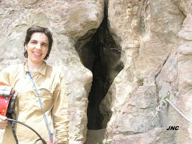
Cau de la Guilla
A 182 m long cave in the Cingles de Bertí (Moianès), with narrow galleries along N-S and E-O joints, explored on 27 July 1897 by Norbert Font i Sagué, Francesc and Anton Maspons and Pere Pagès.
EspeleoWorld
Cau de la Guilla
A 182 m long cave in the Cingles de Bertí (Moianès), with narrow galleries along N-S and E-O joints, explored on 27 July 1897 by Norbert Font i Sagué, Francesc and Anton Maspons and Pere Pagès.
Sant Quirze Safaja · Moianès
Length: 182 m · Depth: 7 m
Updated record
https://espeleoworld.com/en/c/cau-de-la-guilla
Information can change. Always verify coordinates, access, weather, and cave conditions before setting out.
A 182 m long cave in the Cingles de Bertí (Moianès), with narrow galleries along N-S and E-O joints, explored on 27 July 1897 by Norbert Font i Sagué, Francesc and Anton Maspons and Pere Pagès.
Topographic
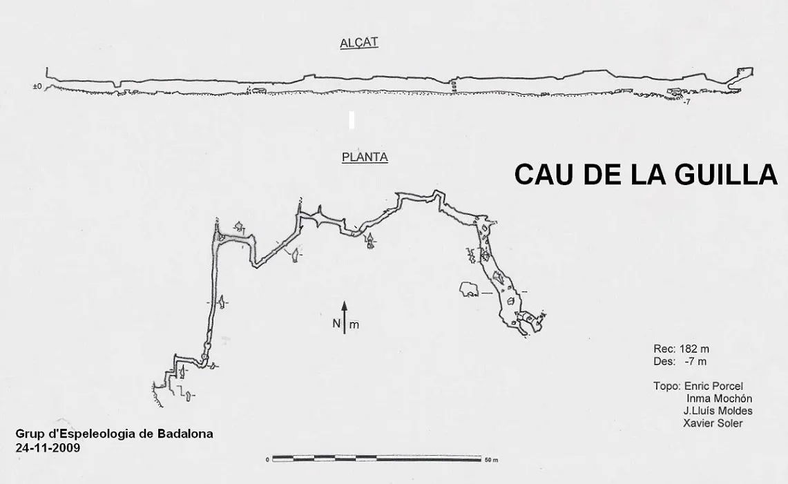
Espeleoindex · CC BY-NC 4.0, https://creativecommons.org/licenses/by-nc/4.0/ · Image © its author.
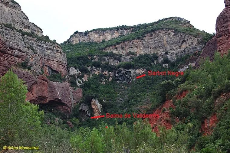
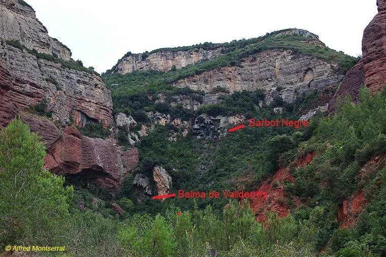
Photos
Espeleoindex · CC BY-NC 4.0, https://creativecommons.org/licenses/by-nc/4.0/ · Image © its author.
Description
Morphology
It consists of a series of narrow galleries, all of them opened along systems of joints of predominantly N-S and E-O direction, presenting an average section of 3.7 metres in height by 0.7 metres in width, except in the first sector where it only reaches 1.7 metres in height. In the last stretch of the cavity, the dimensions increase notably due to a chemoclastic process originating from the union of two joints that affect a bedding plane.
Other details
Throughout the entire route of the cavity one can observe the dusty appearance of the galleries, a product of the decalcification of the sandy limestones in which it is set.
History
First explored on 27 July 1897 by Norbert Font i Sagué, Francesc and Anton Maspons and Pere Pagès, during a first speleological prospecting campaign in the Vallès Oriental, a few months before the historic descent into the avenc de Can Sadurní.
For many years it has been a much-visited cave, perhaps more by hikers and curious visitors than by speleologists.
Despite being a well-known cavity for many years, the first known survey was not made until 1967 (SIE-CEA). The most recent survey (GEB, 2009) reduces by 28 m the length attributed for years of 210 m.
User Comments (0)
No comments yet.
Be the first to share your experience!
Registered Explorations (0)
No explorations registered yet.
Register your visit to this cave!
Bibliography
- Borràs, J.; Miñarro, JM.; Talavera, F. (1980).- Catàleg Espeleològic de Catalunya (vol. 6): el Baix Empordà, el Gironès, la Selva, l'Osona, el Vallès Oriental i el Maresme: 290 pp. Ed. Políglota. Barcelona.
- Font i Sagué, Norbert (1898).- Excursió espeleològica a la Bancó, les Barbotes i Cingles de Bertí” Butlletí del Centre Excursionista de Catalunya (41): 165-168; (42): 184-186; (43): 194-205. Barcelona.
- González, Rosa (1967).- “La cueva del Cau de la Guilla” EspeleoSie (1): 12-14. SIE – Centre Excursionista Àliga. Barcelona.
- Pallarès; Joan (1972).- “Contribución al conocimiento espeleológico de la cueva del Cau de la Guilla” Información espeleolológica de la SECES (2): 15-23. SECES del Centre Excursionista de Sabadell.
- Vicente, S.; Salvadó, M.; Abad, J. (1976).- “La Cova de l'Endal. Gallifa (Barcelona)”. Excursionisme (19): 17-19. Unió Excursionista de Catalunya. (En aquest article apareix una topografia del Cau de la Guilla, sense gairebé cap més referència)
- Coordenades i fotografies “JNC” (2015) facilitades per Jordi Navarro (Centre Excursionista de Castellar del Vallès).
- Topografia 2009 extreta del web: geb.cat (del Grup d'Espeleologia de Badalona). Apunt del 4-5-2013. Dades: Enric Porcel (GEB)
Nearby caves
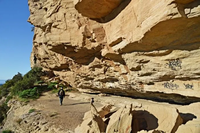
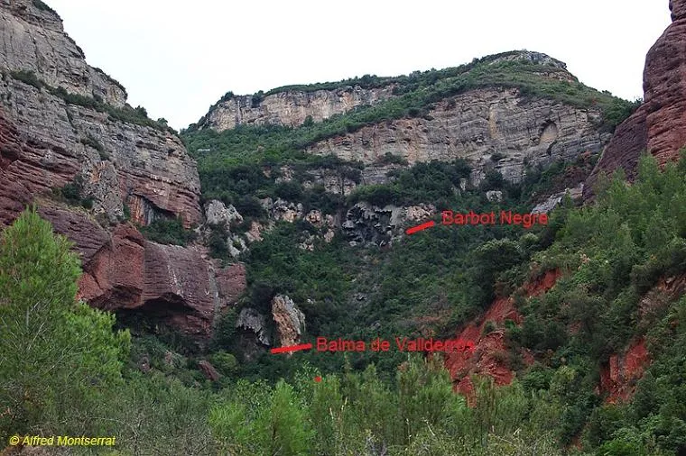


Source: Espeleoindex (espeleoindex.com), modified. CC BY-NC 4.0, https://creativecommons.org/licenses/by-nc/4.0/