

Avencs Arrel-estret
Small pit 10 metres deep near Montblanc, explored by the GIEM in 1966.
EspeleoWorld
Avencs Arrel-estret
Small pit 10 metres deep near Montblanc, explored by the GIEM in 1966.
Montblanc · Conca de Barberà
Length: 38 m · Depth: 10 m
Updated record
https://espeleoworld.com/en/c/avencs-arrel-estret
Information can change. Always verify coordinates, access, weather, and cave conditions before setting out.
Small pit 10 metres deep near Montblanc, explored by the GIEM in 1966.
Topographic

Espeleoindex · CC BY-NC 4.0, https://creativecommons.org/licenses/by-nc/4.0/ · Image © its author.
Photos
Espeleoindex · CC BY-NC 4.0, https://creativecommons.org/licenses/by-nc/4.0/ · Image © its author.
Description
Morphology
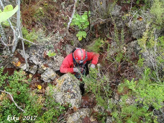
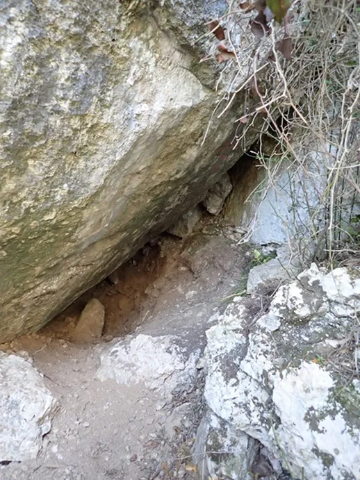
The avenc de l'Arrel is formed by a mouth of 2 by 4 metres that gives access to a vertical drop of 5 metres, which is a hole in the ceiling of a gallery 17 metres long. At the end of the gallery there is a very narrow passage that communicates with a second chamber of the cavity, on a balcony located 3 metres above the base of a small room 7 metres long by 1.50 metres wide. Above the aforementioned balcony there is the chimney that connects this small room with another of similar dimensions, which communicates after a short ramp of nine with the exterior through the mouth of the avenc Estret.
Progression
The interior connection of both cavities is physically complicated due to the narrowness of the passage.
History
Explored by the young members (13-14 years old) of the GIEM de Montblanc during the year 1966, shortly after exploring the avenc de la Figuera. Published in the Catàleg Espeleològic de Catalunya (1978), only as avenc Estret, without making any reference to the avenc de l'Arrel, even though this has a mouth of notable dimensions.
User Comments (0)
No comments yet.
Be the first to share your experience!
Registered Explorations (0)
No explorations registered yet.
Register your visit to this cave!
Bibliography
- Borràs, J.; Miñarro,JM.; Talavera, F. (1978).-”l'Alt Camp, la Conca de Barberà,el Baix Penedès i el Tarragonès”. Catàleg Espeleològic de Catalunya. (Vol. 2):246 pp. Ed. Poliglota. Barcelona.
- GIEM (1972).-”Cavidades topografiadas en la Serra de Prades y lista de las mayores cavidades” Comuni. II Simp. Metod. Espel. VI/1-12. Escuela Catalana de Espeleología-CRE.
- Pallisé, J. (2017).- “En el record encara: Les primeres exploracions i descobertes del GIEM (La Ginesta i el Racó de l'Hospital)”. (en preparació per a la revista Podall del Centre d'Estudis de la Conca de Barberà)
- Coordenades, situació, dades, i fotografies, facilitades per Francesc Rubinat (ERE-CEC), Juli Serrano i Floren Fadrique (SIE-CEA).
Nearby caves



Source: Espeleoindex (espeleoindex.com), modified. CC BY-NC 4.0, https://creativecommons.org/licenses/by-nc/4.0/