
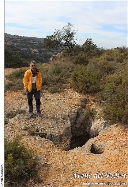
Avenc del Pedret
A 30 m deep pit between the barrancs de la Bruixa and dels Forats (Montsant), located in 2022 after more than 60 years "lost".
EspeleoWorld
Avenc del Pedret
A 30 m deep pit between the barrancs de la Bruixa and dels Forats (Montsant), located in 2022 after more than 60 years "lost".
Morera de Montsant, La · Priorat
Length: 41 m · Depth: 30 m
Updated record
https://espeleoworld.com/en/c/avenc-del-pedret
Information can change. Always verify coordinates, access, weather, and cave conditions before setting out.
A 30 m deep pit between the barrancs de la Bruixa and dels Forats (Montsant), located in 2022 after more than 60 years "lost".
Topographic
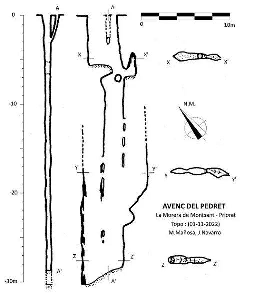

Espeleoindex · CC BY-NC 4.0, https://creativecommons.org/licenses/by-nc/4.0/ · Image © its author.
Photos

Espeleoindex · CC BY-NC 4.0, https://creativecommons.org/licenses/by-nc/4.0/ · Image © its author.
Description
Morphology
The pit has an accessible and irregular entrance about 3 x 1 m and another auxiliary one of 0.45 x 0.35 m which join in the first few metres. The main entrance gives access to a first shaft a little less than 6 m; at the SE end of the initial shaft there is a step below which, and between fitted blocks, the cavity continues its descent. Before beginning the evident descent of the second shaft, there is a small passage that allows passage in a SE direction to a small, decorated chimney.
The second and last shaft, in the form of a joint about 22 m deep, coalesces with two other lateral shafts that in some stretches are connected by impassable windows. The ramp-shaped base towards the NW of the second shaft places us at the deepest point and in the most decorated area of the whole cavity.
Speleothems
The most decorated area of the whole cavity is found at the ramp-shaped base towards the NW of the second shaft, at the deepest point.
Hydrology
In the area of the deepest point signs of flood levels at the bottom of the pit can be seen.
History
The first exploration took place in July 1958 by members of the SECES – Centre Excursionista de Sabadell, who located it thanks to the shepherd Antoni Ventura. At the bottom of the first shaft they had to clear an obstruction to reach the maximum depth, which they estimated at 37 m.
As they did not provide much data on its situation, the cavity had been "lost" for more than 60 years.
On 29-10-2022, M. Mañosa and J. Navarro (CE de Castellar), following some clue from hikers, managed to locate the entrance of an unknown pit; on carrying out the descent they found an old rusty carabiner in a small hollow in the wall and a mark at the bottom of the cavity that unequivocally links the previous visit to the pit by the historic group (C.E.S.).
A new survey of the cavity is made and all the available public information is compared to reach the conclusion that it is very probably the avenc del Pedret.
User Comments (0)
No comments yet.
Be the first to share your experience!
Registered Explorations (0)
No explorations registered yet.
Register your visit to this cave!
Bibliography
- Borrás, J.; Miñarro, J.M.; Talavera, F.(1984).-”el Baix Camp, el Priorat i la Ribera d'Ebre”. Catàleg Espeleològic de Catalunya (vol.7). Ed. Políglota. Barcelona.
- Monné, J. (1958).- “Avenc del Pedret” Circular del Centre Excursionista de Sabadell (59): 220-222. Sabadell
- Totes les dades, topografia i fotografies han estat extretes del blog: cavitatsdecatalunya.blogspot (de Jordi de Valles). Apunt del 5-1-2023. Dades: Montse Mañosa i Jordi Navarro (Centre Excursionista de Castellar del Vallès).
Nearby caves
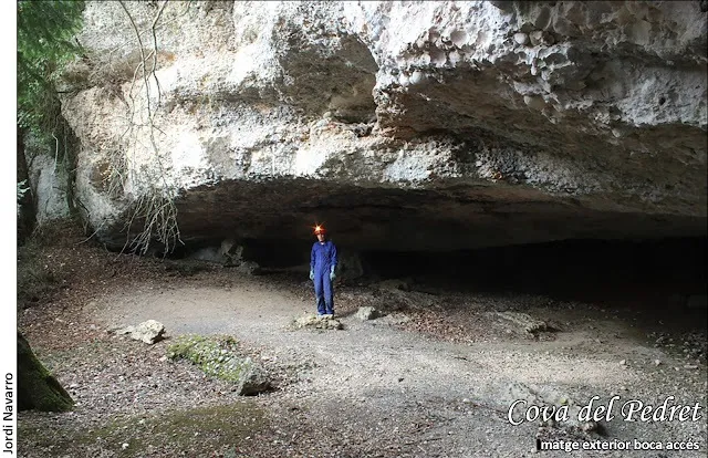
Cova del Pedret
0.2 km · NE
Morera de Montsant, La (Priorat)
1 topo.4 photos
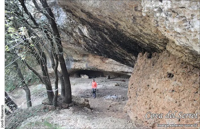
Cova del Serret
0.4 km · N
Morera de Montsant, La (Priorat)
1 topo.4 photos

Cova de l'Abelló
0.4 km · NE
Morera de Montsant, La (Priorat)
1 topo.4 photos
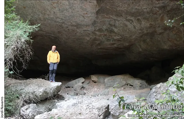
Cova de la Bruixa
0.5 km · N
Morera de Montsant, La (Priorat)
1 topo.4 photos
Source: Espeleoindex (espeleoindex.com), modified. CC BY-NC 4.0, https://creativecommons.org/licenses/by-nc/4.0/