
Avenc de la Riera de Turell
Petit avenc de 7 m. de fondària a Castellar del Vallès
EspeleoWorld
Avenc de la Riera de Turell
Petit avenc de 7 m. de fondària a Castellar del Vallès
Castellar del Vallès · Vallès Occidental
Length: 25 m · Depth: 7 m
Updated record
https://espeleoworld.com/en/c/avenc-de-la-riera-de-turell
Information can change. Always verify coordinates, access, weather, and cave conditions before setting out.
Small pit 7 m deep in Castellar del Vallès, discovered and explored in the mid-1960s by cavers from Sabadell.
Topographic


Espeleoindex · CC BY-NC 4.0, https://creativecommons.org/licenses/by-nc/4.0/ · Image © its author.
Description
Morphology
The mouth, 1.50 x 0.80 metres, gives access to a 2.50-metre shaft from which two galleries start. The first, in a N direction, continues 8 metres to a step, after which a 3-metre gallery continues and becomes impassable. The second, in a NE direction, is a descending 9-metre gallery that leads us to a small chamber at the level of maximum depth (-7.5).
The cavity is formed by two joints joined at one end where the mouth opens. The first joint takes the direction N10W – S10E; the second joint, N45E – S45W, is the one that formed the sink of the subterranean course.
It should be noted that in this area of terrain the sandstone strata are less consistent than the conglomerate; this causes the sections to widen where we find sandstones and the cavity to be narrower where there is conglomerate material.
Hydrology
The first joint, in direction N10W – S10E, is the one that currently receives some water inputs and in rainy periods we can find a small pool of water.
History
Discovered and explored in the mid-1960s by cavers from Sabadell, very probably from the Talps del CE del Vallès.
User Comments (0)
No comments yet.
Be the first to share your experience!
Registered Explorations (0)
No explorations registered yet.
Register your visit to this cave!
Bibliography
Badiella, X.; Aguirre,F.; Muñoz,J.; Mota,F. (1981).- “Les cavitats del vessant Est del riu Ripoll” SIS (8): 56-70 / Arxiu del Centre Excursionista de Terrassa (23): 296-310. SIS del CET. Terrassa.
Nearby caves
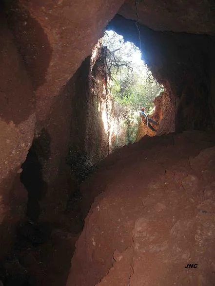
Avenc de les Dues Boques
0.6 km · NW
Castellar del Vallès (Vallès Occidental)
2 topo.4 photos
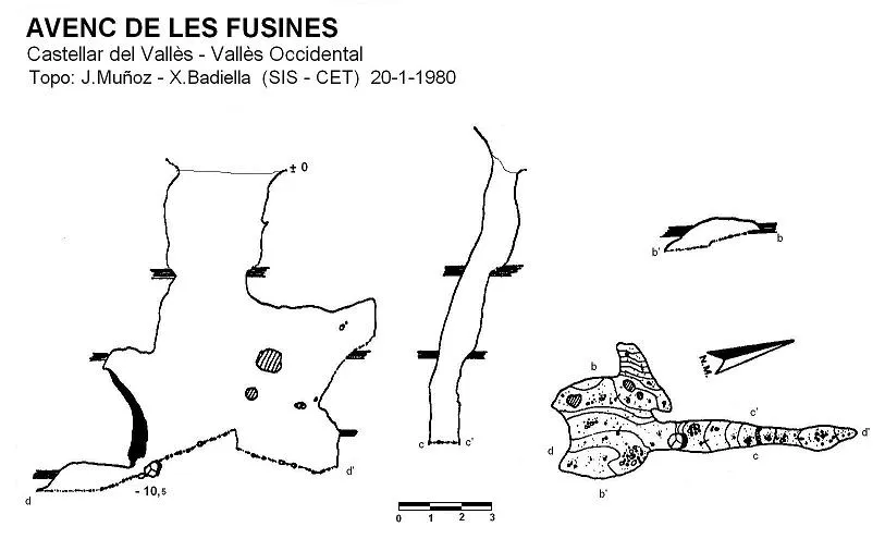
Avenc de les Fusines
0.7 km · NW
Castellar del Vallès (Vallès Occidental)
2 topo.
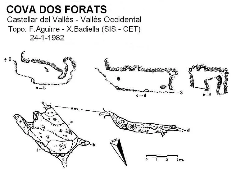
Cova Dos Forats
0.7 km · NW
Castellar del Vallès (Vallès Occidental)
1 topo.
Avenc d'Aguilar
0.8 km · N
Castellar del Vallès (Vallès Occidental)
2 topo.6 photos
Source: Espeleoindex (espeleoindex.com), modified. CC BY-NC 4.0, https://creativecommons.org/licenses/by-nc/4.0/