
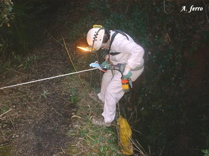
Avenc de la Canal de la Revella
Interessant avenc de 18 m. de desnivell a Sant Llorenç del Munt
EspeleoWorld
Avenc de la Canal de la Revella
Interessant avenc de 18 m. de desnivell a Sant Llorenç del Munt
Sant Llorenç Savall · Vallès Occidental
Length: 65 m · Depth: 18 m
Updated record
https://espeleoworld.com/en/c/avenc-de-la-canal-de-la-revella
Information can change. Always verify coordinates, access, weather, and cave conditions before setting out.
A pit with 18 m of vertical drop in Sant Llorenç del Munt, with a 7 m shaft, galleries and lithogenic formations.
Topographic
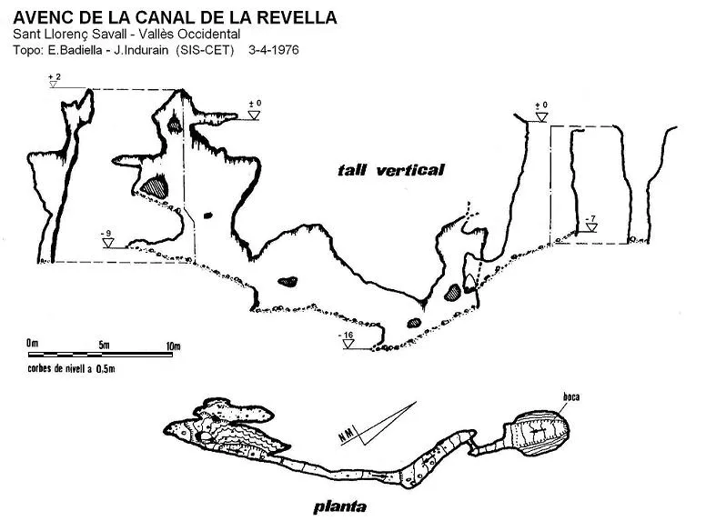

Espeleoindex · CC BY-NC 4.0, https://creativecommons.org/licenses/by-nc/4.0/ · Image © its author.
Photos

Espeleoindex · CC BY-NC 4.0, https://creativecommons.org/licenses/by-nc/4.0/ · Image © its author.
Description
Morphology
A 7 metre shaft leads to a base with a slight slope that ends in a narrow passage. Once this is passed and a subsequent step, one enters a high gallery with a slope that reaches the point of maximum depth (elevation -16). Above it and after overcoming an ascending step, one continues along the gallery that gradually climbs until reaching the final section where the ceiling becomes much higher. The highest point of the chimney is 2 metres above the level of the entrance mouth of the cavity.
Speleothems
In the final section one can progress among numerous lithogenic formations, some of great beauty.
History
First mentioned in the Guia monogràfica de Sant Llorenç del Munt, published by the Centre Excursionista de Terrassa in 1935, attributing to it 16 metres of depth. We have evidence of various visits by the GES-CMB since the year 1948. O.Andrés and J.Mª Torras, in the catalogue of Sant Llorenç (1974) comment that it had been partially refilled by external detritus and that after the floods of 1962 the final section of the entrance shaft was reopened, reaching 10 metres of depth. They present no survey.
Around 1976, members of the SIS del CET are able to force the narrow passage at the bottom of the shaft, access the galleries that originate behind it and produce a complete survey.
Until not many years ago the toponymic form was Ravella, but it seems that the toponym Revella is the correct one.
User Comments (0)
No comments yet.
Be the first to share your experience!
Registered Explorations (2)

Exploration date: February 24, 2026
La part més díficil és l'últim tram de sortida (es desfà tot) va bé possar una corda.
Exploration date: February 21, 2026
L'entrada estava obstruida per sediments i un esquelet d'animal. Vam desobstruir-la i ara ja es pot entrar. Un cop arribes a la sala principal, l'avenc està molt ben conservat!
Bibliography
GES-CMB (1974).- Catálogo espeleológico de la provincia de Barcelona. 198 pp. Club Montañés Barcelonés /Diputación Provincial de Barcelona.
Dades inèdites SIS del CE Terrassa
Dades de situació facilitades per A. Ferro (SIE-CEA)
Nearby caves
les Casetes del Bofí
0.2 km · SW
Sant Llorenç Savall (Vallès Occidental)
1 topo.1 photos
Cova de la Cabrafiga
0.3 km · W
Sant Llorenç Savall (Vallès Occidental)
1 topo.2 photos
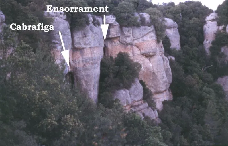
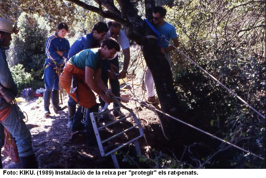
Cova de l'Ensorrament
0.3 km · W
Sant Llorenç Savall (Vallès Occidental)
1 topo.3 photos
Avenc del Daví
0.4 km · SW
Sant Llorenç Savall (Vallès Occidental)
3 topo.16 photos
Source: Espeleoindex (espeleoindex.com), modified. CC BY-NC 4.0, https://creativecommons.org/licenses/by-nc/4.0/