
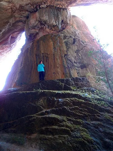
Cova Tosca
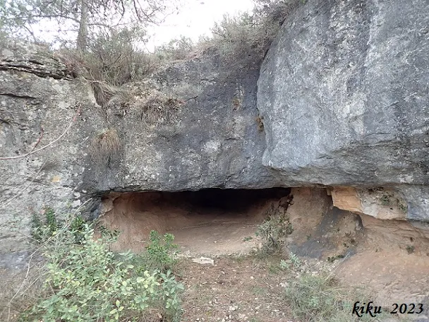
A shelter partially closed by tufa on the left bank of the Siurana river, in Cornudella de Montsant.
EspeleoWorld
Cova Tosca
A shelter partially closed by tufa on the left bank of the Siurana river, in Cornudella de Montsant.
Cornudella de Montsant · Priorat
Sviluppo: 13 m
Scheda aggiornata
https://espeleoworld.com/it/c/cova-tosca
Le informazioni possono cambiare. Verifica sempre coordinate, accesso, meteo e condizioni della cavità prima di partire.
A shelter partially closed by tufa on the left bank of the Siurana river, in Cornudella de Montsant.
Topografia
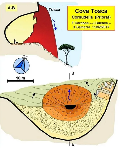

Espeleoindex · CC BY-NC 4.0, https://creativecommons.org/licenses/by-nc/4.0/ · Immagine © del suo autore.
Foto

Espeleoindex · CC BY-NC 4.0, https://creativecommons.org/licenses/by-nc/4.0/ · Immagine © del suo autore.
Descrizione
Morfologia
The cova Tosca has dimensions of 13 metres in length by 12 metres in height and a width of 40 metres.
Concrezioni
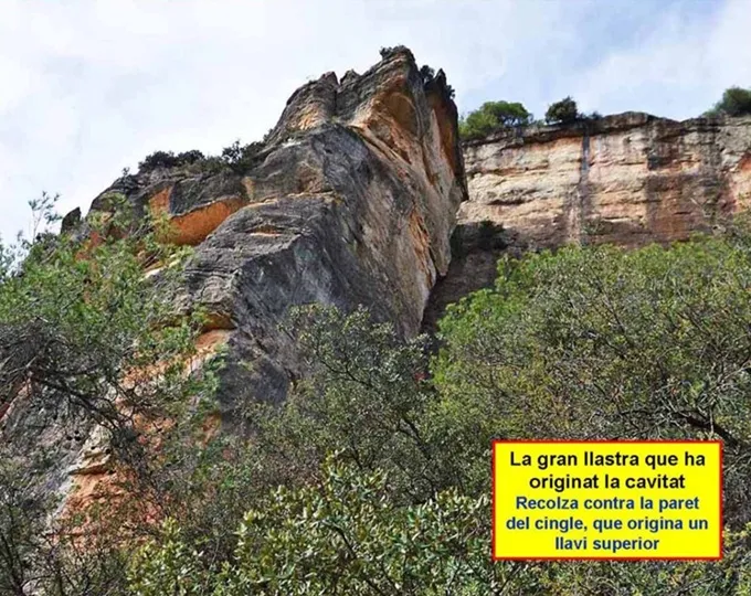
The tufa deposit is about 18 metres in length by about 17 in width.
Idrologia
The water supply that has caused the accumulation of tufa comes from an exterior torrent that flows above the cliff.
Altri dettagli
Curious shelter partially closed by tufa.
Storia
Known since remote times. Vilaseca already mentions it in his work (1958) on the nearby Cova de Porta-Lloret.
Very well known by hikers who travel the area, it had not been the subject of a speleological work until the visit of members of the EC Gràcia and the GE Badalona (February 2017) who visit it and carry out a complete cataloguing task.
Commenti degli utenti (0)
Nessun commento ancora.
Sii il primo a condividere la tua esperienza!
Esplorazioni registrate (0)
Nessuna esplorazione registrata.
Registra la tua visita a questa grotta!
Bibliografia
- Borràs, J.; Miñarro, JM.; Talavera, F. (1984).- Catàleg espeleològic de Catalunya. Vol. 7 (el Baix Camp, el Priorat i la Ribera d'Ebre. Políglota: 283 pp. Barcelona.
- Vilaseca, S. (1958).- “La cueva de Porta-Lloret en el antiguo término de Siurana, Montes de Prades”. Ampurias (XIX-XX): 104-114 Museo de Arqueologia. Barcelona.
- Actualització de dades, topografia i fotografies extretes del web: geb.cat (GE Badalona). Apunt del 6 de març del 2017. Autors fitxa: C. Bañolas, F. Cardona (ECG); J. Cuenca i F.X. Samarra (GEB)
Grotte vicine
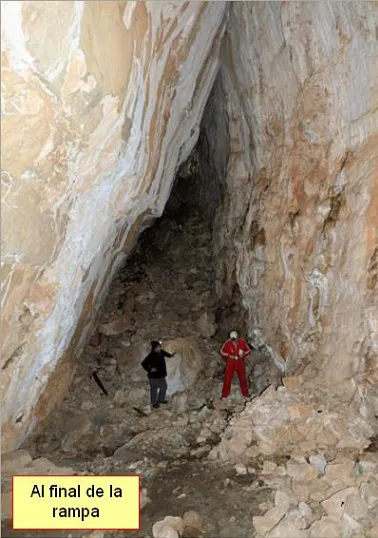
Cova de Porta-lloret
0.0 km · O
Cornudella de Montsant (Priorat)
3 topo.4 foto
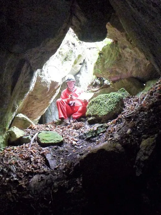
Cova del Cingle del Bodro
0.2 km · O
Cornudella de Montsant (Priorat)
1 topo.4 foto
Avenc del Mas de la Barba
1.2 km · NE
Cornudella de Montsant (Priorat)
1 topo.6 foto
Cova de les Núvies
1.2 km · NE
Cornudella de Montsant (Priorat)
1 topo.8 foto
Fonte: Espeleoindex (espeleoindex.com), modificato. CC BY-NC 4.0, https://creativecommons.org/licenses/by-nc/4.0/