
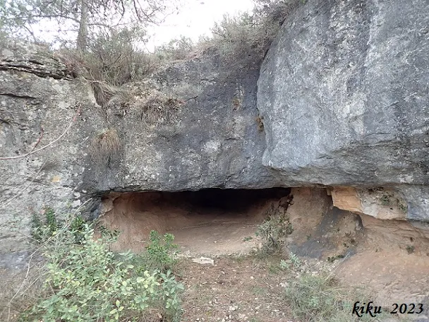
Cova de les Núvies
Tunnel-shaped cave that crosses part of the cliff face, in Cornudella de Montsant.
EspeleoWorld
Cova de les Núvies
Tunnel-shaped cave that crosses part of the cliff face, in Cornudella de Montsant.
Cornudella de Montsant · Priorat
Sviluppo: 21 m
Scheda aggiornata
https://espeleoworld.com/it/c/cova-de-les-nuvies
Le informazioni possono cambiare. Verifica sempre coordinate, accesso, meteo e condizioni della cavità prima di partire.
Tunnel-shaped cave that crosses part of the cliff face, in Cornudella de Montsant.
Topografia
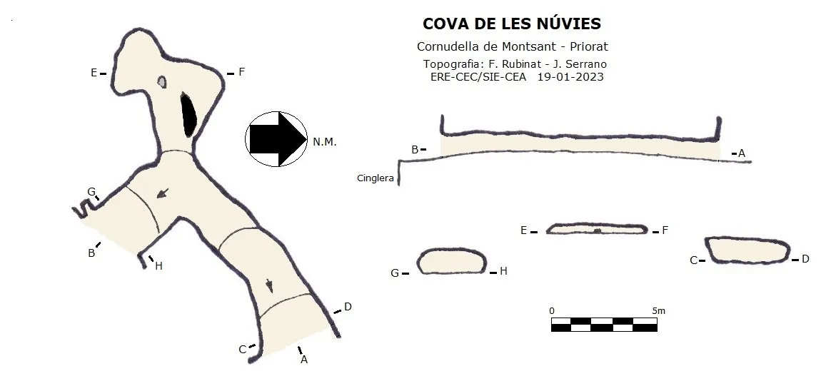

Espeleoindex · CC BY-NC 4.0, https://creativecommons.org/licenses/by-nc/4.0/ · Immagine © del suo autore.
Foto

Espeleoindex · CC BY-NC 4.0, https://creativecommons.org/licenses/by-nc/4.0/ · Immagine © del suo autore.
Descrizione
Morfologia
It is a passage about 14 metres long that crosses part of the cliff from one side to the other. Inside we find a small side passage with a very low ceiling, 7 metres long.
Storia
Known since ancient times both in la Febró and in Siurana.
Commenti degli utenti (0)
Nessun commento ancora.
Sii il primo a condividere la tua esperienza!
Esplorazioni registrate (0)
Nessuna esplorazione registrata.
Registra la tua visita a questa grotta!
Bibliografia
- Albert Manent (1967).- Toponímia del terme municipal de la Febró. (Premi Eduard Brossa 1968 de la Societat Catalana de Geografia). Butlletí Arqueològic. Reial Societat Arqueològica Tarraconense, 1973, Núm. 121-128, pp. 163-192.
- Dades, coordenades, topografia i fotografies facilitades per Juli Serrano (SIE-CEA) i Francesc Rubinat (ERE-CEC).
Grotte vicine
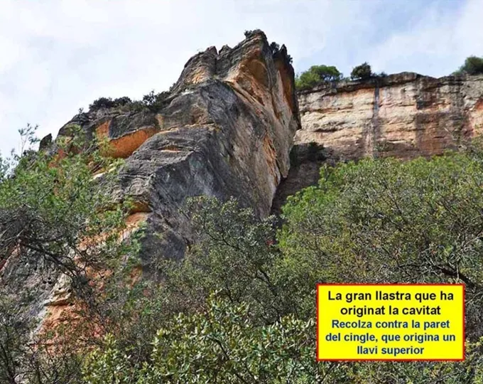
Avenc del Mas de la Barba
0.5 km · NO
Cornudella de Montsant (Priorat)
1 topo.6 foto
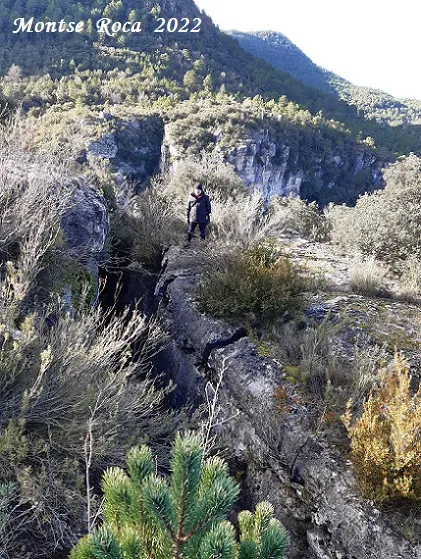
Avenc Desenrocat dels Castellans
0.8 km · E
Febró, La (Baix Camp)
2 topo.14 foto
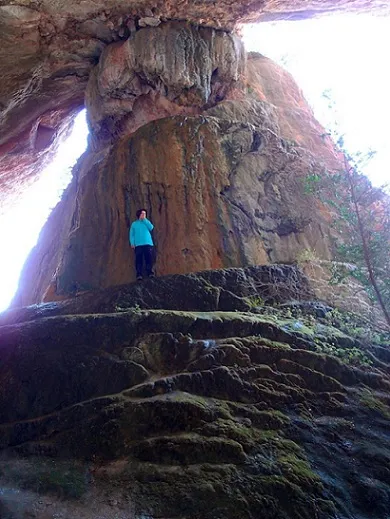
Cova Tosca
1.2 km · SO
Cornudella de Montsant (Priorat)
1 topo.3 foto
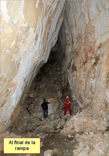
Cova de Porta-lloret
1.2 km · SO
Cornudella de Montsant (Priorat)
3 topo.4 foto
Fonte: Espeleoindex (espeleoindex.com), modificato. CC BY-NC 4.0, https://creativecommons.org/licenses/by-nc/4.0/