
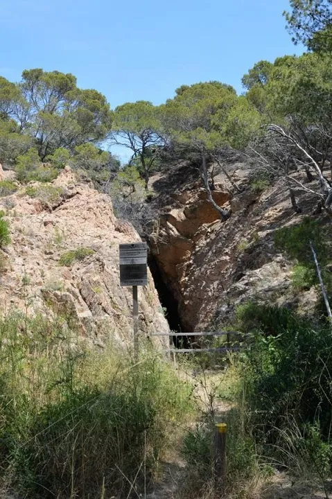
Sa Roncadora
Sea cave with a 63 m passage in Palafrugell, with a long 46 m fissure connecting the upper part of the cliff with sea level.
EspeleoWorld
Sa Roncadora
Sea cave with a 63 m passage in Palafrugell, with a long 46 m fissure connecting the upper part of the cliff with sea level.
Palafrugell · Baix Empordà
Length: 63 m · Depth: 27 m
Updated record
https://espeleoworld.com/en/c/sa-roncadora
Information can change. Always verify coordinates, access, weather, and cave conditions before setting out.
Sea cave with a 63 m passage in Palafrugell, with a long 46 m fissure connecting the upper part of the cliff with sea level.
Topographic
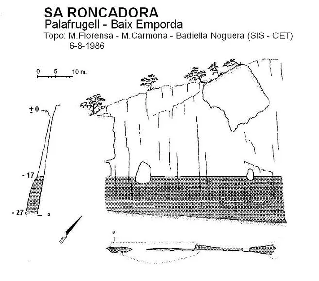
Espeleoindex · CC BY-NC 4.0, https://creativecommons.org/licenses/by-nc/4.0/ · Image © its author.
Photos
Espeleoindex · CC BY-NC 4.0, https://creativecommons.org/licenses/by-nc/4.0/ · Image © its author.
Description
Morphology
It is a long 46-metre fissure that connects the upper part of the cliff with sea level. The upper mouth is 27 metres long by a maximum width of 6 metres, it is funnel-shaped and narrows as one descends until reaching the water, where in some places it becomes impenetrable while in others it widens to almost 2 metres. From the lower lip to sea level there are 17 metres.
Hydrology
Entering through the sea mouth the depth below the water level reaches 12.5 metres and one finds a bedrock that blocks the way but is easily passable either by climbing over it or passing under the water (the rock only reaches 1 metre of depth); past this one can advance about 13 metres, at first narrow and progressively widening to 1.6 metres, then it suddenly narrows to 20 centimetres which make it impenetrable at least at water level.
The truth is that, descending the 17-metre shaft, the cave seems to continue below the water and with more width than at the surface, but we have no news that it has been explored.
History
Cavity of great renown in the area, cited in various guides to the Costa Brava. Members of the SIS – CE Terrassa explored and surveyed it in August 1986. In 2016, it was the subject of new work by members of the GEB.
User Comments (0)
No comments yet.
Be the first to share your experience!
Registered Explorations (0)
No explorations registered yet.
Register your visit to this cave!
Bibliography
- Badiella, Enric; Badiella, Xavier; Badiella, Eduard (1992).- “Les cavitats litorals del Baix Empordà. (I) de Palamós a Aiguablava”. SIS (12): 26-51 / Arxiu del Centre Excursionista de Terrassa (75): 162-187. Terrassa.
- Dades extretes del web del Grup Espeleològic de Badalona (www.geb.cat) post del dia 14-10-2016. Text i fotografies de Josep Cuenca i Francesc X. Samarra (GE Badalona).
Nearby caves
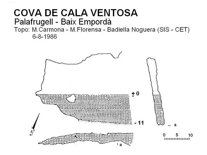

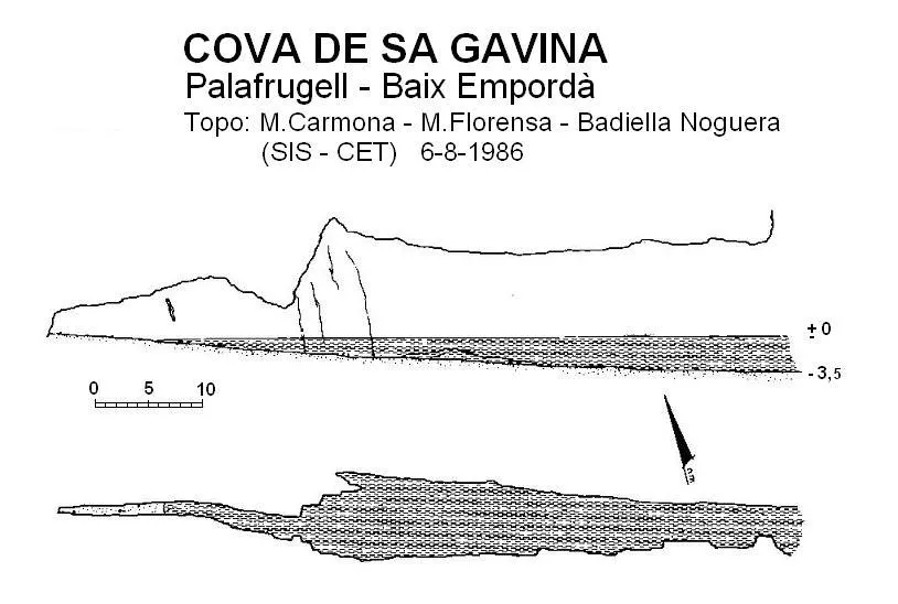


Source: Espeleoindex (espeleoindex.com), modified. CC BY-NC 4.0, https://creativecommons.org/licenses/by-nc/4.0/