
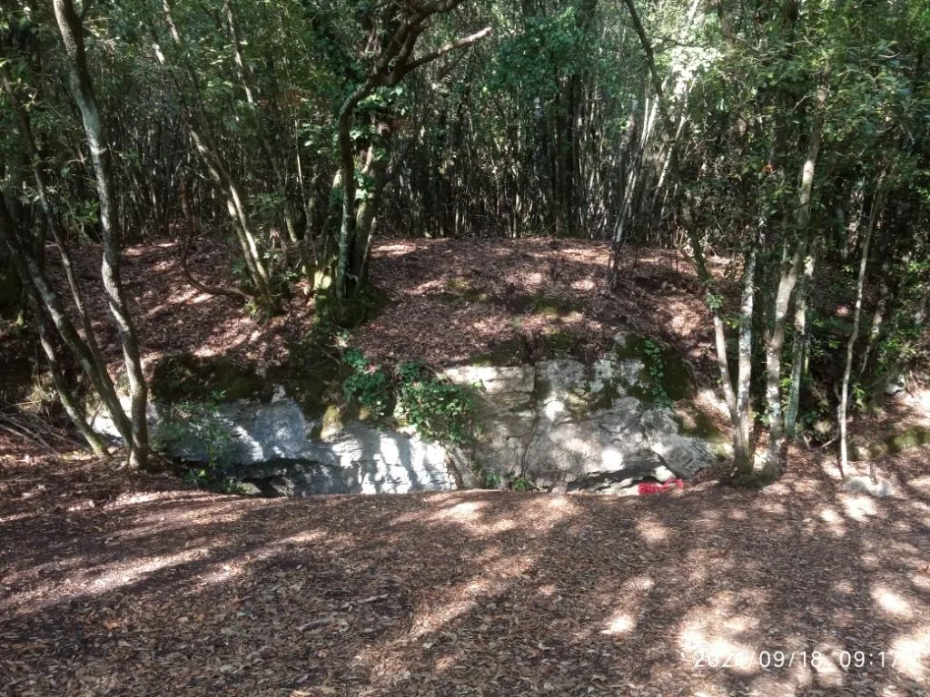
Pozzo della Piana
A cave with a sub-horizontal, labyrinthine development, with passages that are often modest in size and locally heavily decorated with speleothems, communicating with the outside through 5 pits between 8 and 21 m deep.
EspeleoWorld
Pozzo della Piana
A cave with a sub-horizontal, labyrinthine development, with passages that are often modest in size and locally heavily decorated with speleothems, communicating with the outside through 5 pits between 8 and 21 m deep.
Orvieto
Length: 2555 m · Depth: 21 m
Updated record
https://espeleoworld.com/en/c/pozzo-della-piana-orvieto-terni
Information can change. Always verify coordinates, access, weather, and cave conditions before setting out.
A cave with a sub-horizontal, labyrinthine development, with passages that are often modest in size and locally heavily decorated with speleothems, communicating with the outside through 5 pits between 8 and 21 m deep.
Photos
© Mauro Barbieri · LicenseRef-FUGS-media-per-item · Federazione Umbra Gruppi Speleologici (FUGS), Catasto Speleologico dell'Umbria · https://catasto.fugs.it/index.php?mod=caves&op=view&id=56
Description
Morphology
Cave with a sub-horizontal and labyrinthine trend. The passages, often modest in size, are locally heavily decorated with speleothems. It communicates with the outside through 5 pits between 8 and 21 m deep.
Trend: Predominantly horizontal.
Geology: BETWEEN carbonate and travertine deposits - Quaternary (Pleistocene - Holocene); Travertines; Massive.
Progression
Traversability: Demanding; recommended period all year round.
Rigging: Temporary.
Progression difficulty: Drops, narrow passages, meanders, traverses.
Hazards: Dangerous access.
History
Important prehistoric finds have been made there.
Finds: Archaeological, Paleoethnological.
Studies: Archaeological, Paleoethnological, Anthropological.
Bio
Studies and monitoring: Biospeleological.
User Comments (0)
No comments yet.
Be the first to share your experience!
Registered Explorations (0)
No explorations registered yet.
Register your visit to this cave!
Bibliography
DESIDERI E. (1628) Idillii del P. Romani da Bagnorea, parte seconda delle sue poesie ROMANI P. DA BAGNOREA (1628) Idillii del P. Romani da Bagnorea, parte seconda delle sue poesie PETTI L. (1715) La istoria e la vita di Santa Romana ALVI G.B. (1765) Dizionario topografico Tudertino GRUPPO SPELEOLOGICO CAI-CTG PERUGIA (1960) Bollettino 12 - 8 Settembre 1960 LEMMI G. & COLETTI G. (1961) Elenco catastale delle grotte dell'Umbria ANONIMO (1962) Attività del Gruppo Grotte dell'Istituto di Geologia dell'Università di Perugia PASSERI L. (1965) Il Pozzo della Piana I nei travertini di Titignano PASSERI L. (1965) Il pozzo della Piana nei travertini di Titignano MORETTI G.P. & GIANNOTTI F.S. (1967) Quello che si sa dei tricotteri cavernicoli italiani SALVATORI F. (1968) Esplorazioni nel Pozzo della Piana Principale BALBIANO D'ARAMENGO G. & LEMMI G. (1970) Le grotte turistiche d'Italia: L'Umbria PASSERI L. (1970) Ritrovamenti preistorici nei Pozzi della Piana (Umbria) VIVIANI C.G. (1971) L'attività del gruppo Speleologico C.A.I. Perugia nel 1970 PIRRAMI M.M. (1972) Attività 1971 del Gruppo Speleologico Todi SALVATORI F. (1972) Attività del Gruppo Spelelogico C.A.I. Perugia nel anno 1971 ANONIMO (1973) Chiusura dei Pozzi della Piana PASSERI L. (1973) Canalizzazione sotterranea in regime di fluttuazione freatica nel travertino della Piana (Umbria) SPELEO CLUB GUBBIO & CATASTO SPELEOLOGICO DELL'UMBRIA (1977) Mostra speleologico fotografica OSELLA G. (1978) Ricerce sulla fauna appenninica. Una nuova specie di Troglorhynchus Schmidt dell'Umbria TODINI M. (1979) I pozzi della Piana TODINI M. (1979) La speleologia come intervento sul territorio MORETTI G.P. & CIAFICCONI F. (1982) Aggiornamento sulla tricotterofauna cavernicola BANI M. (1991) La protostoria della speleologia nell'Appennino umbro-marchigiano INNAMORATI F. (1991) Brevi note sull'origine siriaca del culto di S.Romana, praticato nelle grotte omonime di Titignano e del Monte Soratte e sulle frequentazioni della Grotta di Titignano fra il XV e il XVIII secolo ARGENTI P. (2003) Plio-Quaternary mammal fossiliferous sites of Umbria (Central Italy) MENICHETTI M. (2011) Hypogenic caves in Western Umbria (Central Italy) DE WAELE J. ET ALII (2014) A review on hypogenic caves in Italy D'ANGELI I.M. ET ALII (2016) Sulfuric Acid Caves of Italy An Overview
Nearby caves
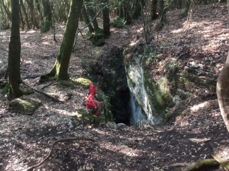
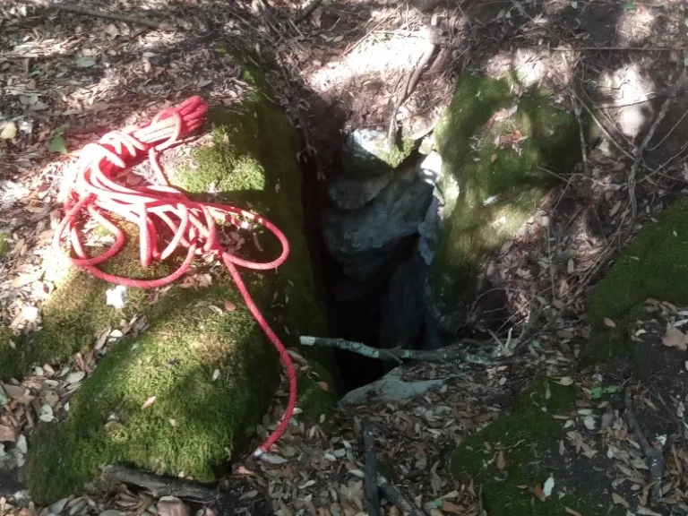
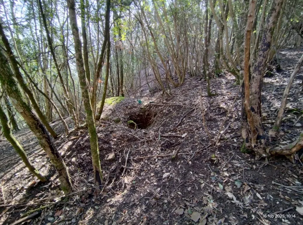

Source: Catasto Cavità Umbria (Federazione Umbra Gruppi Speleologici, FUGS) (catasto.fugs.it), modified. LicenseRef-FUGS-no-licence-stated Federazione Umbra Gruppi Speleologici (FUGS), Catasto Speleologico dell'Umbria · https://catasto.fugs.it/index.php?mod=caves&op=view&id=56 · data as of 2025 · Source: Catasto Cavità Umbria (Federazione Umbra Gruppi Speleologici, FUGS) (catasto.fugs.it), modified. LicenseRef-FUGS-media-per-item Federazione Umbra Gruppi Speleologici (FUGS), Catasto Speleologico dell'Umbria · data as of 2025