
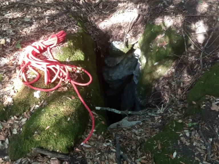
Pozzi della Piana Ingresso Dinamite
A ground-level hole near the slide entrance, with a predominantly horizontal trend and demanding traversability.
EspeleoWorld
Pozzi della Piana Ingresso Dinamite
A ground-level hole near the slide entrance, with a predominantly horizontal trend and demanding traversability.
Orvieto
System length: 2555 m · System depth: 21 m
Updated record
https://espeleoworld.com/en/c/pozzi-della-piana-ingresso-dinamite-orvieto-terni
Information can change. Always verify coordinates, access, weather, and cave conditions before setting out.
A ground-level hole near the slide entrance, with a predominantly horizontal trend and demanding traversability.
Photos
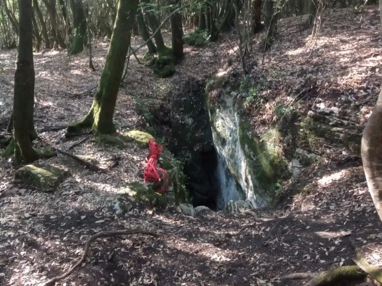
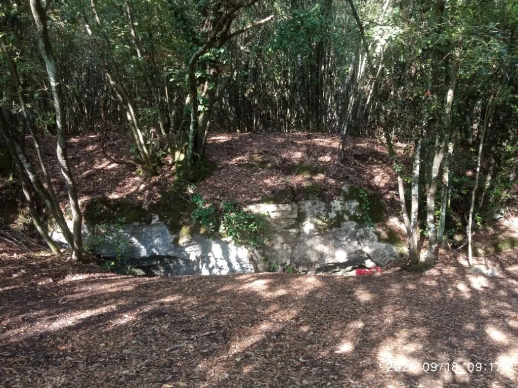
© Mauro Barbieri · LicenseRef-FUGS-media-per-item · Federazione Umbra Gruppi Speleologici (FUGS), Catasto Speleologico dell'Umbria · https://catasto.fugs.it/index.php?mod=caves&op=view&id=873
Description
Morphology
Ground-level hole in the vicinity of the slide entrance. On the rocks surrounding the entrance, the grooves produced by the small ladders used in the past for access can be seen.
Trend: Predominantly horizontal.
Progression
Traversability: Demanding; recommended period: All year. Rigging: Temporary. Hazards: Dangerous access.
Other details
Geology: TRA Carbonate and travertine deposits - Quaternary (Pleistocene - Holocene); Travertines; Obliterated.
History
Finds: Archaeological, Palaeoethnological. Studies: Archaeological, Palaeoethnological, Anthropological.
Bio
Studies and monitoring: Biospeleological.
User Comments (0)
No comments yet.
Be the first to share your experience!
Registered Explorations (0)
No explorations registered yet.
Register your visit to this cave!
Nearby caves

Source: Catasto Cavità Umbria (Federazione Umbra Gruppi Speleologici, FUGS) (catasto.fugs.it), modified. LicenseRef-FUGS-no-licence-stated Federazione Umbra Gruppi Speleologici (FUGS), Catasto Speleologico dell'Umbria · https://catasto.fugs.it/index.php?mod=caves&op=view&id=873 · data as of 2025 · Source: Catasto Cavità Umbria (Federazione Umbra Gruppi Speleologici, FUGS) (catasto.fugs.it), modified. LicenseRef-FUGS-media-per-item Federazione Umbra Gruppi Speleologici (FUGS), Catasto Speleologico dell'Umbria · data as of 2025