
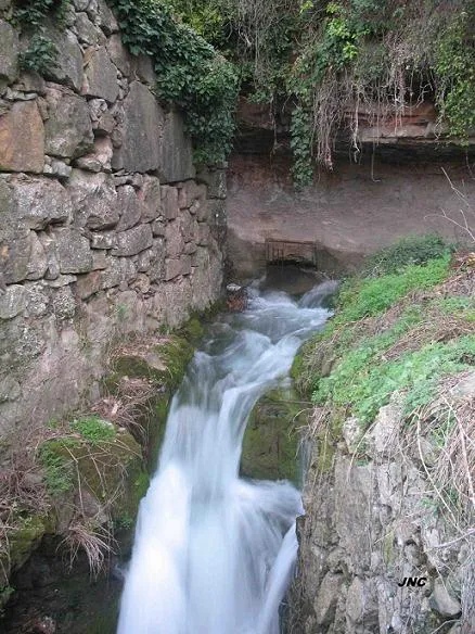
Mentirosa de Monistrol
Temporary spring with a 36 m course in the municipality of Monistrol de Montserrat, with a single straight gallery and two permanently flooded zones.
EspeleoWorld
Mentirosa de Monistrol
Temporary spring with a 36 m course in the municipality of Monistrol de Montserrat, with a single straight gallery and two permanently flooded zones.
Monistrol de Montserrat · Bages
Length: 36 m · Depth: 3 m
Updated record
https://espeleoworld.com/en/c/mentirosa-de-monistrol
Information can change. Always verify coordinates, access, weather, and cave conditions before setting out.
Temporary spring with a 36 m course in the municipality of Monistrol de Montserrat, with a single straight gallery and two permanently flooded zones.
Topographic
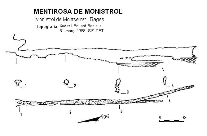

Espeleoindex · CC BY-NC 4.0, https://creativecommons.org/licenses/by-nc/4.0/ · Image © its author.
Photos

Espeleoindex · CC BY-NC 4.0, https://creativecommons.org/licenses/by-nc/4.0/ · Image © its author.
Description
Morphology
A single straight gallery of reduced dimensions, formed by an erosion tube running N – S. Towards the middle of its course it gains a little height thanks to a slight downward slope that leads to a first permanently flooded zone. Above this point, the gallery curves gently towards the SE and narrows a little more, but about 10 metres further on it reaches a second permanently flooded zone, this being the point of maximum penetration of the cavity.
Hydrology
It is a temporary spring that, in times of heavy rain, acts as a trop-plein of the font Gran.
History
Like all the deceptive springs of Montserrat it has been known since time immemorial and is cited in most works on the mountain. Despite this familiarity, it is not until the campaigns led by Llopis and Thomas (1946-50) that it is explored, surveyed and the first hydrogeological studies of the phenomenon are made. From 1952, members of the then Monistrol delegation of the Club Muntanyenc Barcelonès show interest in the cavity and begin systematic explorations and multiple attempts to overcome the sumps, including an unsuccessful pumping out of the waters. In 1955 they carry out blasting with dynamite to widen some passage that would allow access to the ERE cave divers, but this too proves fruitless.
Despite periodic visits by different groups over the years, it has never been possible to go deeper than the known galleries and there has always been speculation about a hypothetical connection with a no less hypothetical subterranean lake, which has become more a legend than a scientifically based theory.
User Comments (0)
No comments yet.
Be the first to share your experience!
Registered Explorations (0)
No explorations registered yet.
Register your visit to this cave!
Bibliography
- Llopis, N.; Thomas, J.Mª (1953).- “Estudio hidrogeológico de la vertiente meridional de Montserrat” Speleon IV (3-4): 121-192, Universidad de Oviedo.
- Armengou, JMª (1955).- “La resurgencia de la Mentirosa” Cordada (6): 6-7, Barcelona
- Mor, J. (1973).- “Estudio hidrogeológico de Montserrat” Com. III Simp. Met. Esp. : 32-52, ECE, Mataró.
- Foto 'JNC' facilitada per Jordi Navarro, (Centre Excursionista de Castellar del Vallès).
Nearby caves
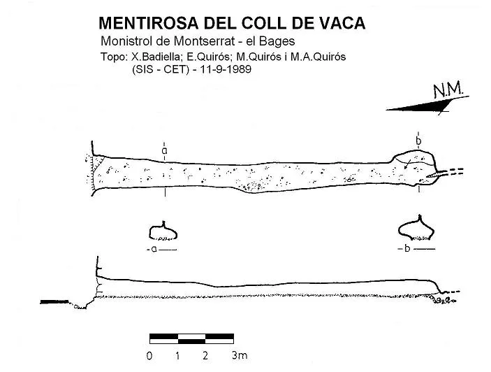
Mentirosa de Coll de Vaca
0.5 km · W
Monistrol de Montserrat (Bages)
1 topo.
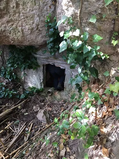
Cova de la Font del Catalino
0.6 km · SW
Monistrol de Montserrat (Bages)
1 topo.3 photos
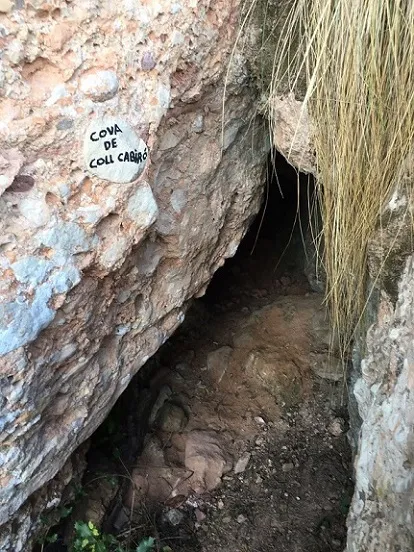
Cova de Coll Cabiró
0.8 km · SW
Monistrol de Montserrat (Bages)
1 topo.5 photos
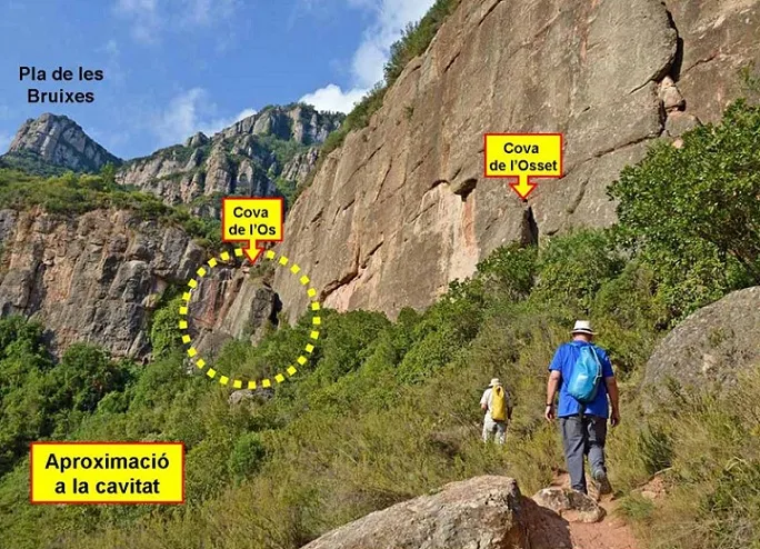
Cova de l'Osset
0.8 km · S
Monistrol de Montserrat (Bages)
1 topo.2 photos
Source: Espeleoindex (espeleoindex.com), modified. CC BY-NC 4.0, https://creativecommons.org/licenses/by-nc/4.0/