
la Tosca
Curiosa cova en travertins a Beget.
EspeleoWorld
la Tosca
Curiosa cova en travertins a Beget.
Camprodon · Ripollès
Length: 28 m · Depth: 16 m
Updated record
https://espeleoworld.com/en/c/la-tosca
Information can change. Always verify coordinates, access, weather, and cave conditions before setting out.
Curious cave in travertines at Beget, known since time immemorial and surveyed in September 2007.
Topographic
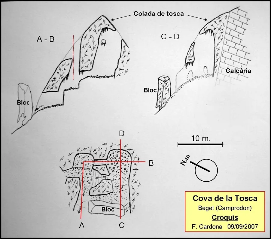
Espeleoindex · CC BY-NC 4.0, https://creativecommons.org/licenses/by-nc/4.0/ · Image © its author.
Photos
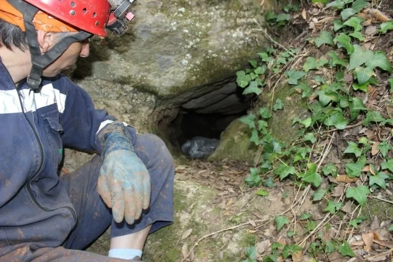
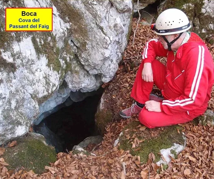
Espeleoindex · CC BY-NC 4.0, https://creativecommons.org/licenses/by-nc/4.0/ · Image © its author.
Description
Morphology
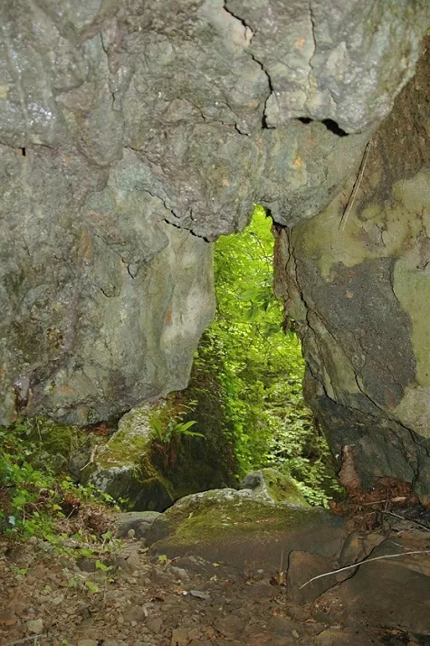
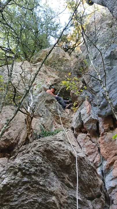
The cave has been excavated in a curious formation of tosca (or travertine) about 20 m high, generated in the manner of a flow at the point where the torrent dels Trulls overcomes a small cliff.
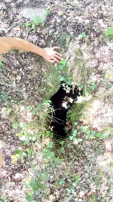
Shortly before the entrance of the cave, there is a large vertical block of tosca that complicates the local topography. The cave consists, basically, of three small chambers connected to each other by short galleries and with the outside at different points. The upper chamber is the base of a shaft about 10 m deep.
Hydrology
The whole cave is very humid, with abundant drips both from the water that hangs from the torrent and from the water that springs up in the place.
History
Known since time immemorial. Members of the GEB and the ECG visit and survey it in September 2007.
User Comments (0)
No comments yet.
Be the first to share your experience!
Registered Explorations (0)
No explorations registered yet.
Register your visit to this cave!
Bibliography
- Valles, Jordi de (2009).-”Berguedà, Cerdanya, Garrotxa, Ripollès”. Catàleg Espeleològic de Catalunya (vol.3): 365. ECG/FCE.
- Dades, coordenades, topografia i fotografies, extretes del web del Grup Espeleològic de Badalona (www.geb.cat) post del dia 29-08-2014. Text i fotografies de Josep Cuenca, Francesc Samarra (GEB), i Ferran Cardona (ECG).
Nearby caves


Source: Espeleoindex (espeleoindex.com), modified. CC BY-NC 4.0, https://creativecommons.org/licenses/by-nc/4.0/