
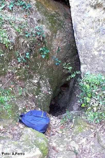
la Saiola
Important surgència temporal, Serra de l'Obac.
EspeleoWorld
la Saiola
Important surgència temporal, Serra de l'Obac.
Vacarisses · Vallès Occidental
Length: 63 m · Depth: 22 m
Updated record
https://espeleoworld.com/en/c/la-saiola
Information can change. Always verify coordinates, access, weather, and cave conditions before setting out.
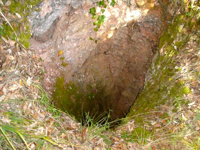
Temporary spring in the Serra de l'Obac, known since time immemorial. The entrance, about 2 metres high, gives access to a 4.5-metre shaft and to galleries exceeding 160 metres of estimated passage.
Topographic
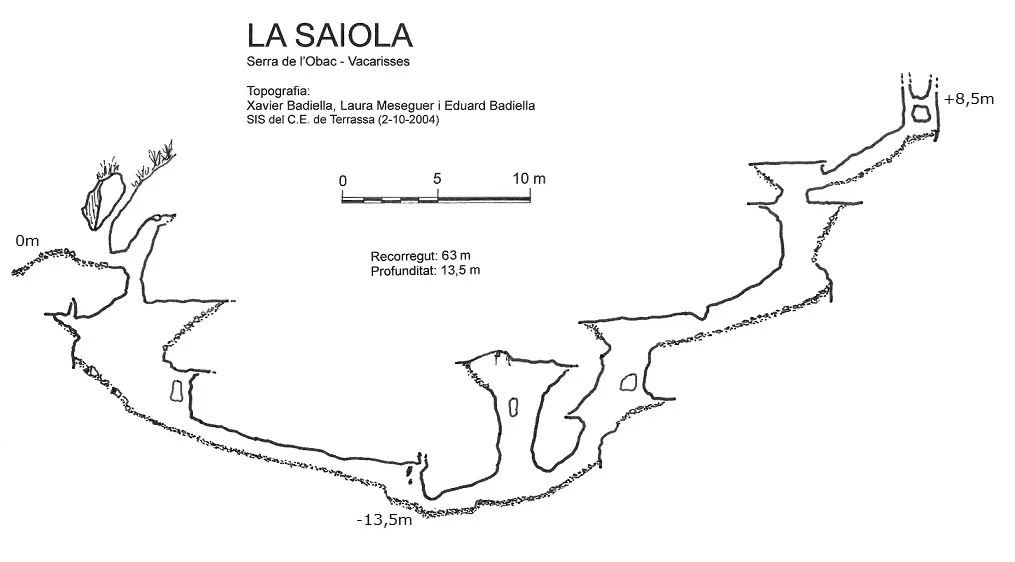

Espeleoindex · CC BY-NC 4.0, https://creativecommons.org/licenses/by-nc/4.0/ · Image © its author.
Photos

Espeleoindex · CC BY-NC 4.0, https://creativecommons.org/licenses/by-nc/4.0/ · Image © its author.
Description
Morphology
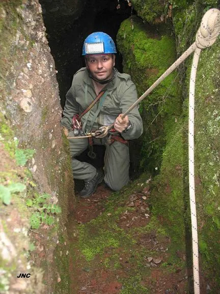
The entrance, about 2 metres high, leads within a few metres to a very narrow point that gives way to a 4.5-metre shaft. From here, a 2-metre drop takes us to the bottom of the shaft, entirely covered with very fine sand and with the rock walls completely smooth due to the action of water. An 8-metre ramp brings us to a small passage that must be crossed by crawling and that penetrates 15 metres, at which point the gallery widens a little more and the floor is again covered with sand and where, normally, the cavity remains closed. This point is a sumping passage which, when it can be cleared, allows access to a series of stepped conduits and galleries that climb up between narrows and ascending passages totalling more than 160 metres of estimated passage and which have rarely been explored; we know of only two explorations.
Vertical range: 58 m. (- 11 / + 45). Survey data to be revised, based on sketches from 1955.
More recent data (2004): Vertical range: 22 m (- 13.5 / + 8.5). Passage: 63 m.
Hydrology
la Saiola, when it flows, is quite a spectacle. The water comes out of the ground and at times it has such force that it even bubbles. Of all the temporary springs in the area, it is the one that discharges the most water to the outside. The water is collected within a few metres by the torrent of the same name. When it discharges a lot of water to the outside, it has another hole that serves as an overflow, located about 10 metres higher up and impenetrable.
History
Despite being known since time immemorial, the first speleological news we know of are the explorations carried out during the month of February 1955 by members of the GES – CMB (Delegació a Terrassa) and they remained practically forgotten, even though at that time they were able to explore a series of galleries that they calculated at 186 metres of development and that afterwards remained covered by sediments at the lowest point of the cavity, as the GE Badalona and the SIS – CE Terrassa were able to confirm when they worked in the area during 1974.
It is not until August 2003 that Marc Anglès (SIS) is able to pass the sumping passage of la Saiola and verify that, as the GES people said in 1955, the cavity continued through a series of ascending galleries.
The spring of 2004 was very rainy and all the springs became active. On 2 October of the same 2004, different members of the SIS are able to enter again and reach the end of the cavity, searching for possible continuations and some hypothetical exit to the outside. Still, a short time later they make a second entry, checking survey data, from a survey which incidentally has still not been seen complete and cannot be compared with the 1955 sketch.
At the end of August 2024 our friend Salvador Vives (SIS) sends us the elevation of the 2004 survey. In it one can see how the passage that was impassable in 1974 was passed and the ascending conduits begin, where with great difficulties of progression they reached a totally impenetrable point.
User Comments (0)
No comments yet.
Be the first to share your experience!
Registered Explorations (0)
No explorations registered yet.
Register your visit to this cave!
Bibliography
- Anglès, Marc; Monterde, Eva (2004).- “Dinàmica càrstica a la vessant sud-oest del massís de Sant Llorenç del Munt i serra de l'Obac”. Actes del 1er. Congrés Català d'Espeleologia: 135-144. Federació Catalana d'Espeleologia. Barcelona.
- Anglès, Marc; Monterde, Eva (2007).- “Les surgències del vessant sud-oest del massís de Sant Llorenç del Munt i serra de l'Obac”. Arxiu del Centre Excursionista de Terrassa (113): 199-212. Terrassa.
- Cardona, F.; Miret, F.; Salvador, F. (1979).- “Las surgencias del 'Torrent de la Saiola' (Serra de l'Obac)”. Cavernas (21): 3-43. Grup d'Espeleologia de Badalona.
- Freixes, A.; Monterde, M.; Cervelló, J Mª (1983).- “El paleocarst i el carst actual de les serres de Sant Llorenç del Munt de l'Obac. El carst experimental de Rellinars”. 57 pp. Espeleo Club de la Unió Excursionista de Sabadell.
- Vives, Salvador (1978).- “Les fonts intermitents de la Serra de l'Obac”. SIS (6): 12-26/Arxiu del Centre Excursionista de Terrassa (16): 580-594. Terrassa.
Nearby caves
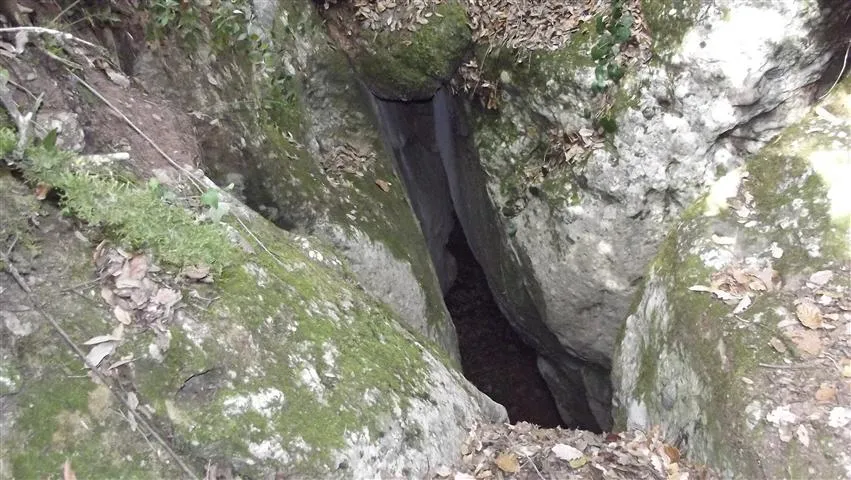
Forat dels Despistats
0.3 km · SE
Vacarisses (Vallès Occidental)
1 topo.4 photos
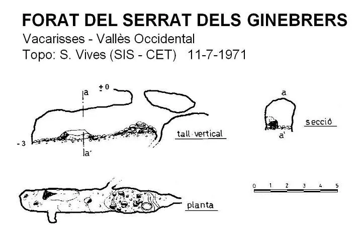
Forat del Serrat dels Ginebrers
0.6 km · S
Vacarisses (Vallès Occidental)
1 topo.
Avenc de les Roquisses
0.7 km · W
Rellinars (Vallès Occidental)
1 topo.1 photos
Avenc de l'Endaló
0.9 km · NW
Rellinars (Vallès Occidental)
2 topo.3 photos
Source: Espeleoindex (espeleoindex.com), modified. CC BY-NC 4.0, https://creativecommons.org/licenses/by-nc/4.0/