
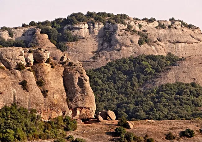
la Porquerissa
Conegudíssima balma d'interès arqueològic a la serra de l'Obac
EspeleoWorld
la Porquerissa
Conegudíssima balma d'interès arqueològic a la serra de l'Obac
Mura · Bages
Length: 10 m
Updated record
https://espeleoworld.com/en/c/la-porquerissa
Information can change. Always verify coordinates, access, weather, and cave conditions before setting out.
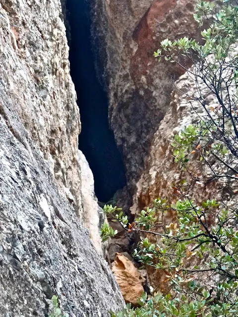
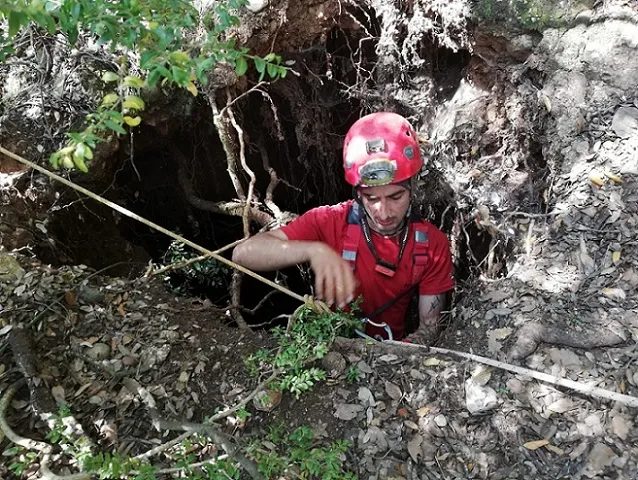
A very well-known rock shelter of archaeological interest in the Serra de l'Obac, with two openings and the remains of an old stone wall.
Topographic
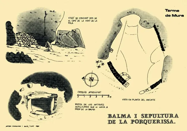
Espeleoindex · CC BY-NC 4.0, https://creativecommons.org/licenses/by-nc/4.0/ · Image © its author.
Photos
Espeleoindex · CC BY-NC 4.0, https://creativecommons.org/licenses/by-nc/4.0/ · Image © its author.
Description
Morphology
The two openings that serve as entrances are half closed by the remains of an old stone wall. Inside, a small chamber forms, about 10 metres in diameter along its longest axis.
Hydrology
Below the rock shelter, to the west, a torrent begins, the torrent de la Cansalada, with a toponymy also linked to the pig.
Other details
A few metres from the rock shelter there are some cist graves.
History
The first written reference to the rock shelter is from the month of March of the year 1225. On this date the abbot Berenguer made various concessions to Bernat de Costadelau and his wife, Bernarda, among which were three plots that the mas Riquer (of Can Pobla) held "al bosc". One was at the Degotall, the other at Tallades and the third above the grau de la "Porcheriza".
But the rock shelter was already in use long before this first written record. Inside the small cavity, archaeological remains (pottery) corresponding to the Roman, Visigothic and medieval periods have been found. It is evident that the name refers to the function of a pigsty that the rock shelter had long ago.
User Comments (0)
No comments yet.
Be the first to share your experience!
Registered Explorations (0)
No explorations registered yet.
Register your visit to this cave!
Bibliography
- Ferrando, A. (1983).- El Parc Natural de Sant Llorenç del Munt i Serra de l'Obac. Sabadell
- Fotografies extretes del blog: espeleobloc.blogspot. Apunt del 24-2-2014
- Altres dades del blog: trailsantllorenc (de Lluís R. Hernández, de Matadepera)
- Topografia (2021) i fotografies X. Samarra extretes del web: geb.cat (del Grup d'Espeleologia de Badalona). Apunt 25-10-2021. Dades: Josep Cuenca i Xavier Samarra (GEB)
Nearby caves
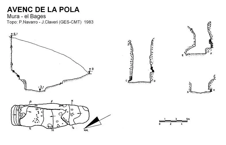
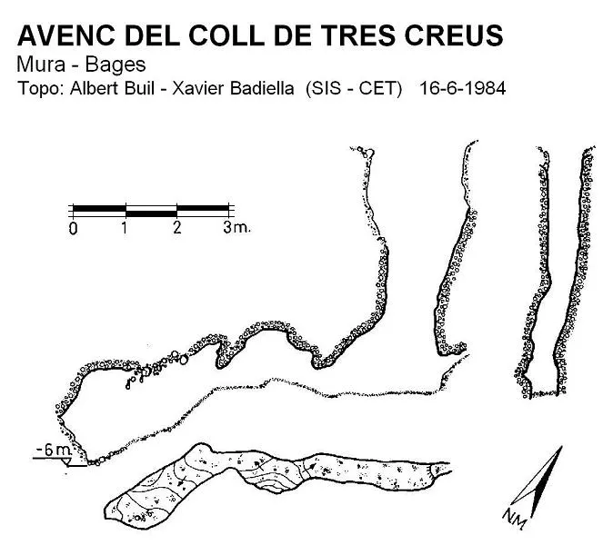


Source: Espeleoindex (espeleoindex.com), modified. CC BY-NC 4.0, https://creativecommons.org/licenses/by-nc/4.0/