
H-11
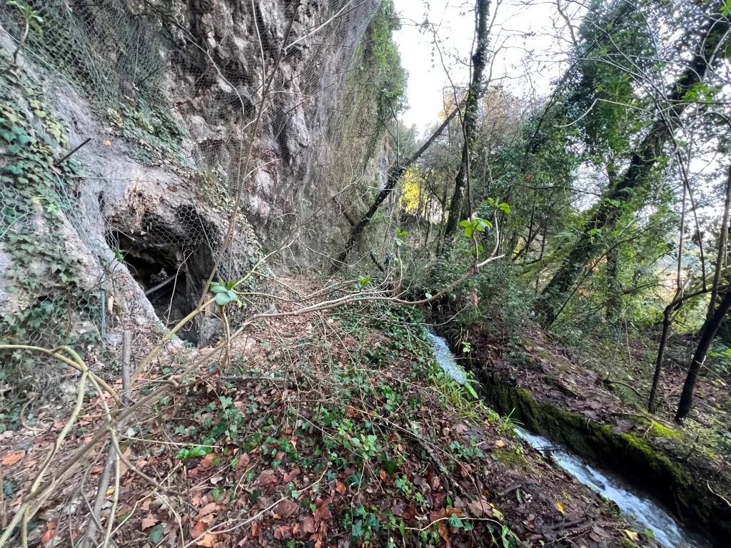
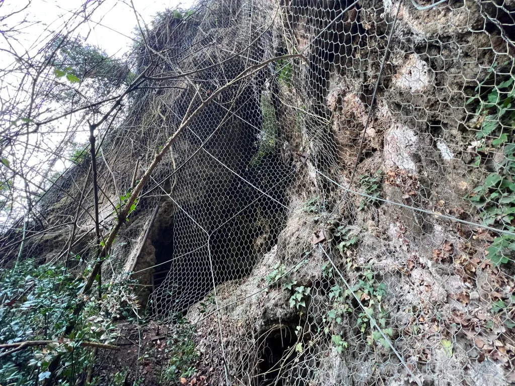
A slightly descending cavity that widens towards the bottom, with a man-sized entrance partially blocked by a partially broken containment net.
EspeleoWorld
H-11
A slightly descending cavity that widens towards the bottom, with a man-sized entrance partially blocked by a partially broken containment net.
Terni
Length: 8 m · Depth: 4 m
Updated record
https://espeleoworld.com/en/c/h-11-terni
Information can change. Always verify coordinates, access, weather, and cave conditions before setting out.
A slightly descending cavity that widens towards the bottom, with a man-sized entrance partially blocked by a partially broken containment net.
Photos
© Mauro Barbieri · LicenseRef-FUGS-media-per-item · Federazione Umbra Gruppi Speleologici (FUGS), Catasto Speleologico dell'Umbria · https://catasto.fugs.it/index.php?mod=caves&op=view&id=795
Description
Morphology
The cavity is slightly descending and widens towards the bottom; the trend is descending.
Geology: among Quaternary (Pleistocene - Holocene) carbonate and travertine deposits; Travertine; massive, obliterated.
Progression
Traversability: easy; recommended period all year round.
Hazards: dangerous access, landslides/rockfalls.
Bio
Environmental and biological protections: yes; Parco fluviale del Nera, Nature Conservation Restrictions (Natura 2000 Network), Hydrogeological Restrictions (PAI).
User Comments (0)
No comments yet.
Be the first to share your experience!
Registered Explorations (0)
No explorations registered yet.
Register your visit to this cave!
Nearby caves

Source: Catasto Cavità Umbria (Federazione Umbra Gruppi Speleologici, FUGS) (catasto.fugs.it), modified. LicenseRef-FUGS-no-licence-stated Federazione Umbra Gruppi Speleologici (FUGS), Catasto Speleologico dell'Umbria · https://catasto.fugs.it/index.php?mod=caves&op=view&id=795 · data as of 2025 · Source: Catasto Cavità Umbria (Federazione Umbra Gruppi Speleologici, FUGS) (catasto.fugs.it), modified. LicenseRef-FUGS-media-per-item Federazione Umbra Gruppi Speleologici (FUGS), Catasto Speleologico dell'Umbria · data as of 2025