
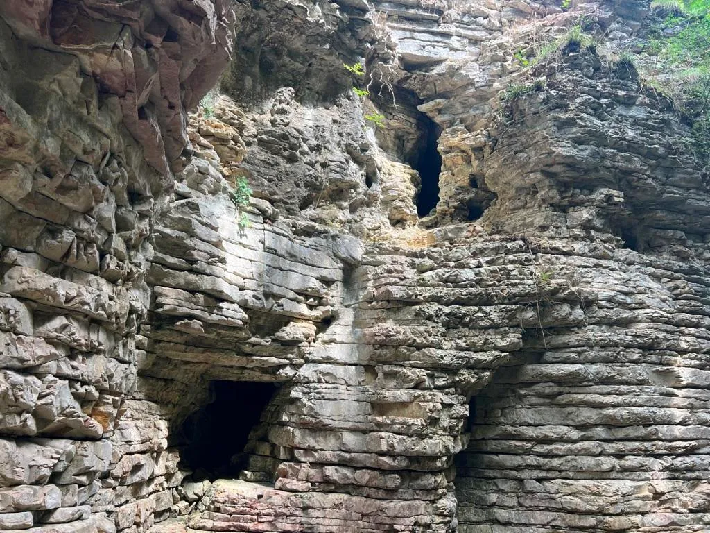
Grotta Fosso del Curso
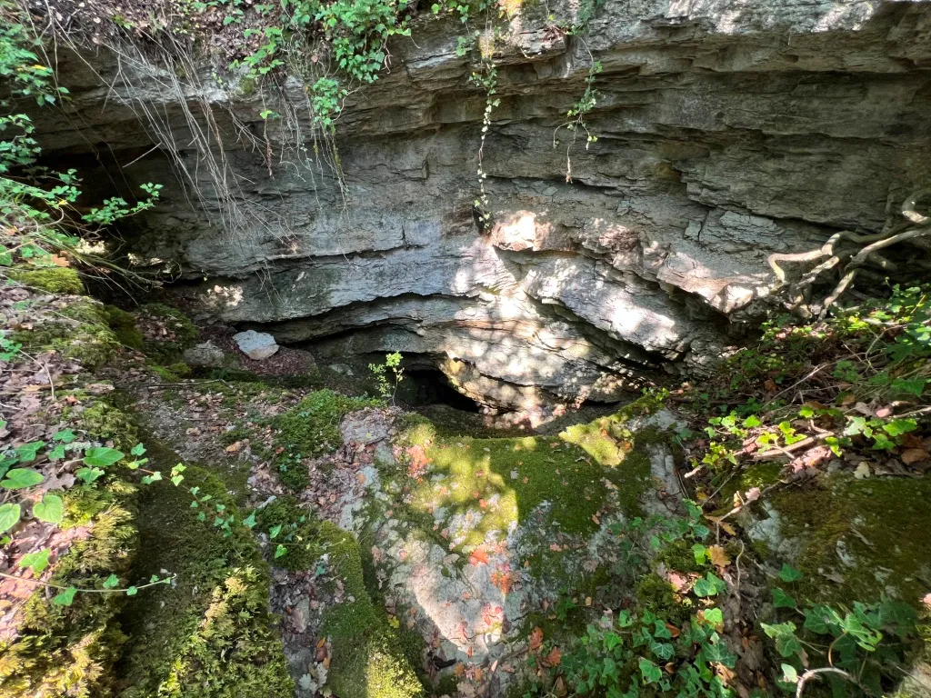
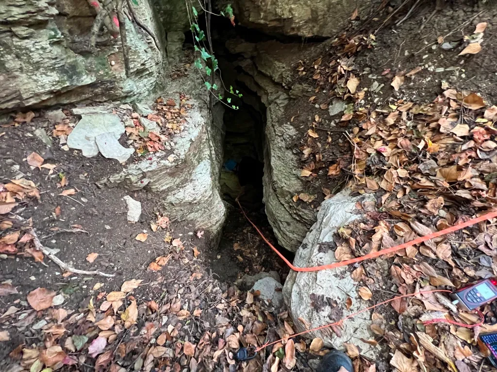
Cavity in the Fosso del Curso with a surveyed development of 19.50 m and a positive height difference of 4.50 m, with an ascending/descending trend and demanding traversability.
EspeleoWorld
Grotta Fosso del Curso
Cavity in the Fosso del Curso with a surveyed development of 19.50 m and a positive height difference of 4.50 m, with an ascending/descending trend and demanding traversability.
San Venanzo
Length: 23 m · Depth: 4 m
Updated record
https://espeleoworld.com/en/c/grotta-fosso-del-curso-san-venanzo-terni
Information can change. Always verify coordinates, access, weather, and cave conditions before setting out.
Cavity in the Fosso del Curso with a surveyed development of 19.50 m and a positive height difference of 4.50 m, with an ascending/descending trend and demanding traversability.
Photos
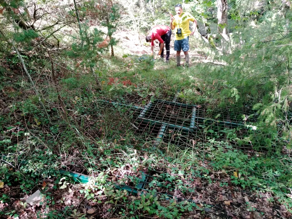
© Mauro Barbieri · LicenseRef-FUGS-media-per-item · Federazione Umbra Gruppi Speleologici (FUGS), Catasto Speleologico dell'Umbria · https://catasto.fugs.it/index.php?mod=caves&op=view&id=369
Description
Morphology
Cavity with a surveyed development of 19.50 m, with a positive height difference equal to 4.50 m. Trend: Ascending/Descending.
Hydrology
Water difficulties: Watercourses. Traversability: Demanding; recommended period No with precipitation. Hazards: Dangerous access, Landslides/collapses, Floods/inundations.
Progression
Rigging: Temporary. Progression difficulty: Drops, Slides, Traverses, Ascents.
Other details
Geology: SAA Scaglia Rossa - Upper Cretaceous-Middle Eocene (Turonian-Lutetian); Stratified micritic limestones; Stratified.
History
Notes on the name: It takes its name from the stream where it is located.
User Comments (0)
No comments yet.
Be the first to share your experience!
Registered Explorations (0)
No explorations registered yet.
Register your visit to this cave!
Nearby caves

Source: Catasto Cavità Umbria (Federazione Umbra Gruppi Speleologici, FUGS) (catasto.fugs.it), modified. LicenseRef-FUGS-no-licence-stated Federazione Umbra Gruppi Speleologici (FUGS), Catasto Speleologico dell'Umbria · https://catasto.fugs.it/index.php?mod=caves&op=view&id=369 · data as of 2025 · Source: Catasto Cavità Umbria (Federazione Umbra Gruppi Speleologici, FUGS) (catasto.fugs.it), modified. LicenseRef-FUGS-media-per-item Federazione Umbra Gruppi Speleologici (FUGS), Catasto Speleologico dell'Umbria · data as of 2025