
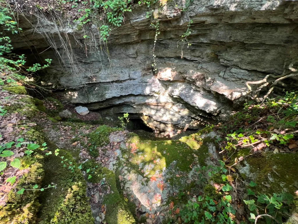
Buca della Moretta
A sub-vertical cavity with stepped slides and two pits of 6 m and 30 m, whose wide active sinkhole drains the water of a catchment basin and is hidden by lush vegetation.
EspeleoWorld
Buca della Moretta
A sub-vertical cavity with stepped slides and two pits of 6 m and 30 m, whose wide active sinkhole drains the water of a catchment basin and is hidden by lush vegetation.
San Venanzo
Length: 30 m · Depth: 47 m
Updated record
https://espeleoworld.com/en/c/buca-della-moretta-san-venanzo-terni
Information can change. Always verify coordinates, access, weather, and cave conditions before setting out.
A sub-vertical cavity with stepped slides and two pits of 6 m and 30 m, whose wide active sinkhole drains the water of a catchment basin and is hidden by lush vegetation.
Photos
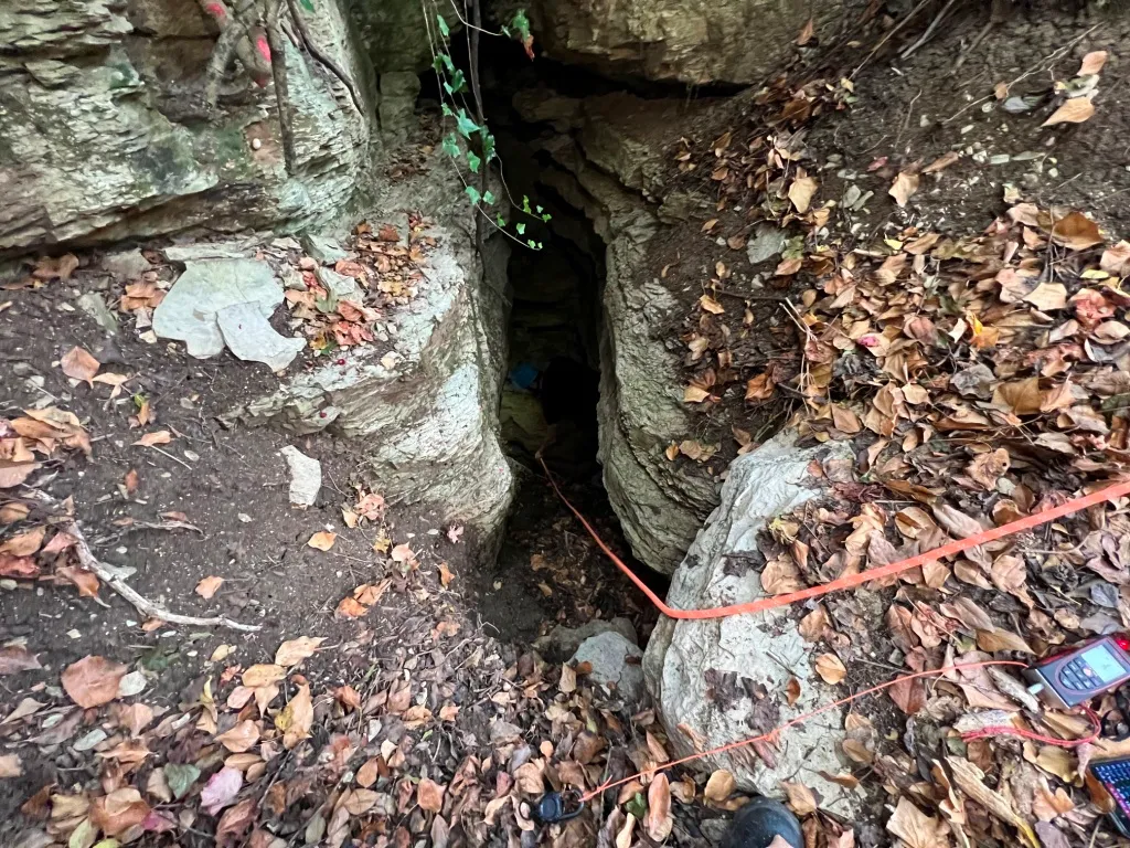
© Mauro Barbieri · LicenseRef-FUGS-media-per-item · Federazione Umbra Gruppi Speleologici (FUGS), Catasto Speleologico dell'Umbria · https://catasto.fugs.it/index.php?mod=caves&op=view&id=297
Description
Morphology
Sub-vertical cavity consisting of stepped slides and two pits of 6 m and 30 m respectively. Trend: mainly vertical.
Hydrology
Hydrology and meteorology: temporary flooding, absorbing, temporarily absorbing, temporary lakes, dry, streams; internal temperature 16.7 °C; humidity 80 %; air flows absent.
Progression
Traversability: experts only; recommended period not with precipitation. Rigging: fixed; largely obsolete with old fix and spit, there are some 10 mm fix but it should be revised. Progression difficulty: pits, drops, slides, narrow passages. Water difficulties: waterfalls, watercourses. Hazards: dangerous access, landslides/collapses, floods/flooding, presence of gas, pits that discharge.
Other details
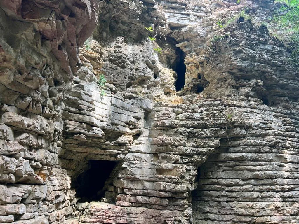
Geology: SCC Scaglia Cinerea - Upper Eocene-Lower Miocene (Priabonian-Aquitanian); marls; stratified; inclined; random.
Bio
Other hypogean fauna: beetles, scarab beetles and caddisflies, also a stag beetle on 19/08/2025. Hypogean botany: abundant moss and vegetation at the entrance.
User Comments (0)
No comments yet.
Be the first to share your experience!
Registered Explorations (0)
No explorations registered yet.
Register your visit to this cave!
Bibliography
MORETTI G.P. & GIANNOTTI F.S. (1967) Quello che si sa dei tricotteri cavernicoli italiani
Nearby caves

Source: Catasto Cavità Umbria (Federazione Umbra Gruppi Speleologici, FUGS) (catasto.fugs.it), modified. LicenseRef-FUGS-no-licence-stated Federazione Umbra Gruppi Speleologici (FUGS), Catasto Speleologico dell'Umbria · https://catasto.fugs.it/index.php?mod=caves&op=view&id=297 · data as of 2025 · Source: Catasto Cavità Umbria (Federazione Umbra Gruppi Speleologici, FUGS) (catasto.fugs.it), modified. LicenseRef-FUGS-media-per-item Federazione Umbra Gruppi Speleologici (FUGS), Catasto Speleologico dell'Umbria · data as of 2025