
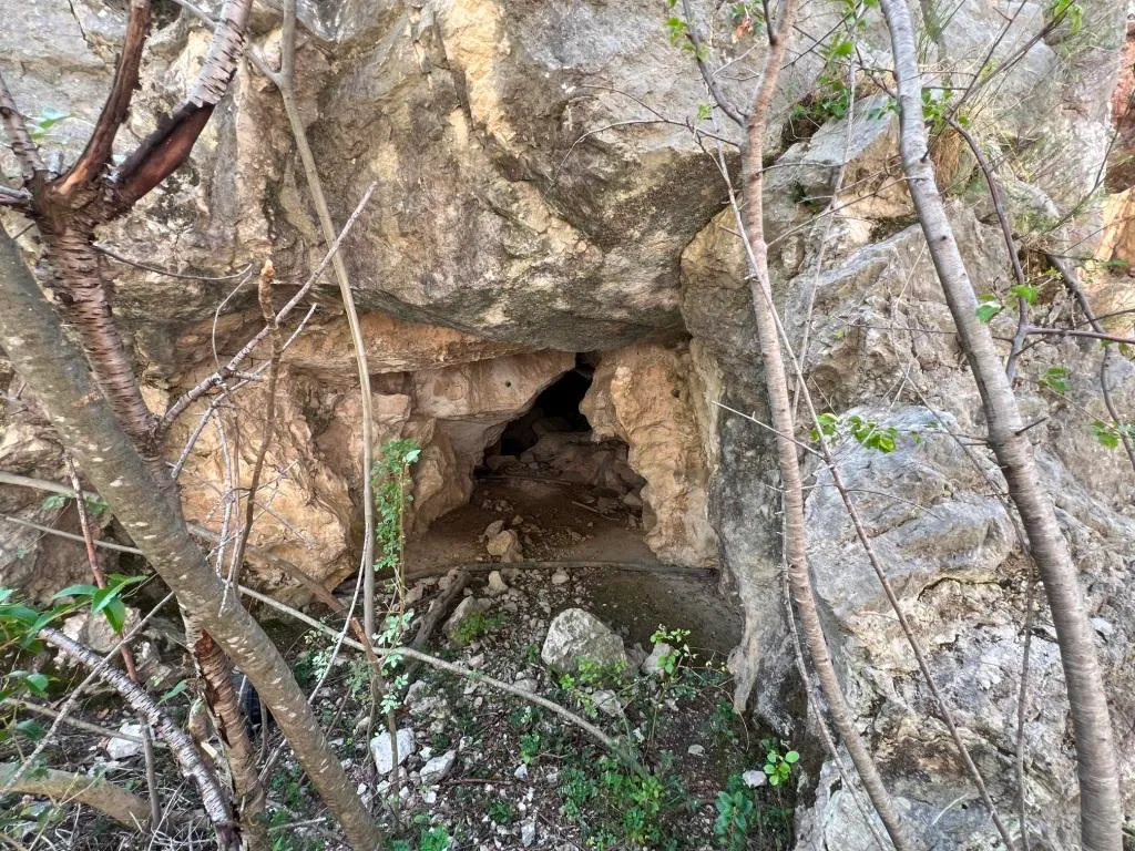
Grotta del Deposito
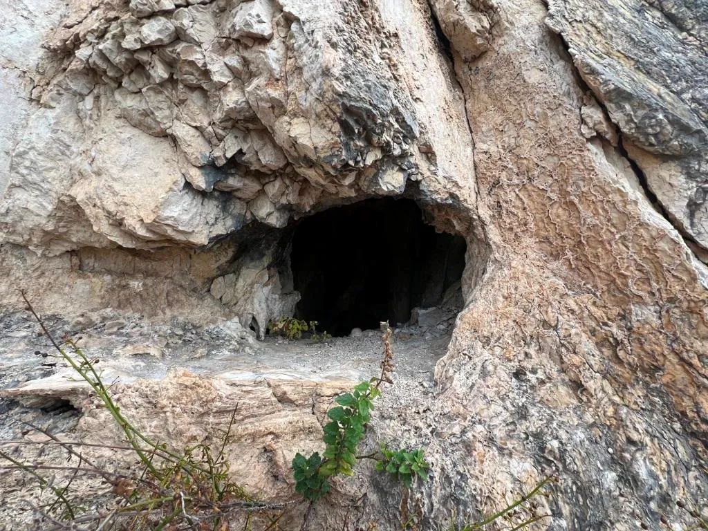
Flat horizontal cavity with signs of excavation, boulders and speleothems, with possible downward continuations to be dug.
EspeleoWorld
Grotta del Deposito
Flat horizontal cavity with signs of excavation, boulders and speleothems, with possible downward continuations to be dug.
Terni
Length: 24 m · Depth: 5 m
Updated record
https://espeleoworld.com/en/c/grotta-del-deposito-terni-terni
Information can change. Always verify coordinates, access, weather, and cave conditions before setting out.
Flat horizontal cavity with signs of excavation, boulders and speleothems, with possible downward continuations to be dug.
Topographic
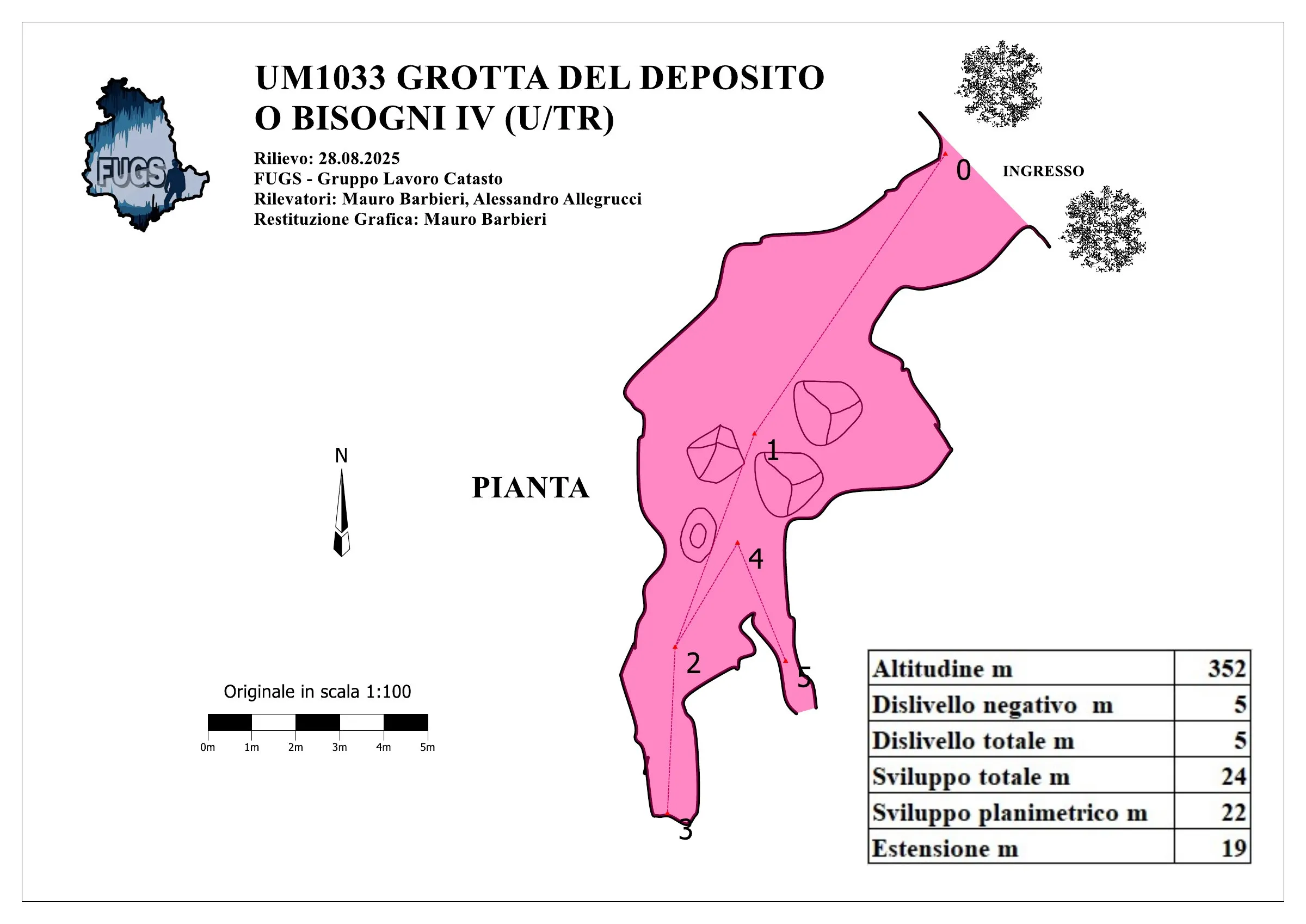
© Mauro Barbieri · CC BY-SA 4.0, https://creativecommons.org/licenses/by-sa/4.0/ · Federazione Umbra Gruppi Speleologici (FUGS), Catasto Speleologico dell'Umbria · https://catasto.fugs.it/index.php?mod=caves&op=view&id=1033
Photos
© Mauro Barbieri · LicenseRef-FUGS-media-per-item · Federazione Umbra Gruppi Speleologici (FUGS), Catasto Speleologico dell'Umbria · https://catasto.fugs.it/index.php?mod=caves&op=view&id=1033
Description
Morphology
Flat horizontal cavity with signs of excavation with boulders and speleothems, possible downward continuations to be dug.
Trend: Predominantly horizontal.
Geology: MAS Limestone Massiccio - Early-Late Jurassic (Sinemurian-Pliensbachian); massive limestones; Massive.
Hydrology
Hydrology and meteorology: internal temperature 21 °C; humidity 80 %; No currents, environmental conditions similar to outside on 28/08/2025.
Progression
Traversability: Easy; recommended period All year round.
Hazards: Dangerous access, landslides/collapses.
Other details
Pollution: Solid waste, intensity High, solid waste, batteries, bottles, tubes, can be easily cleaned up.
History
Notes on the name: It was used as a storage for the Cava's explosives.
Bio
Chiroptera: Presence of chiroptera on 28/08/2025.
User Comments (0)
No comments yet.
Be the first to share your experience!
Registered Explorations (0)
No explorations registered yet.
Register your visit to this cave!
Nearby caves
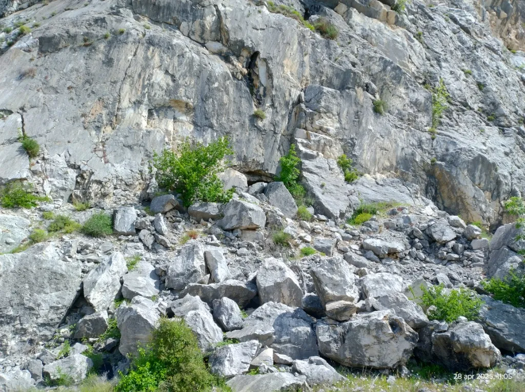
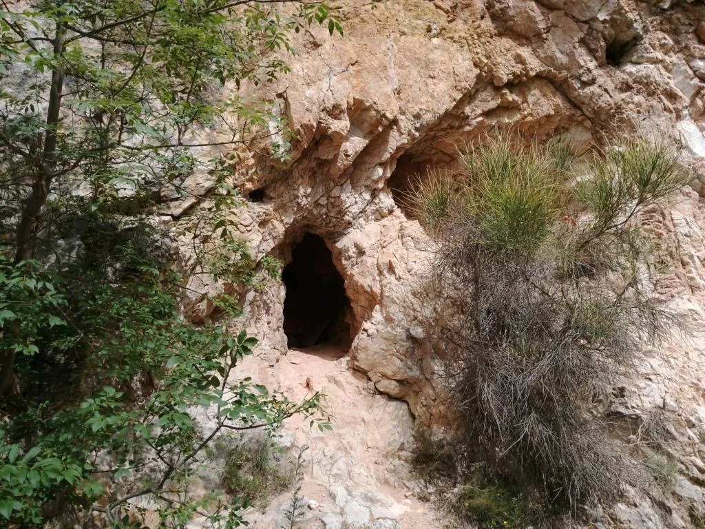


Source: Catasto Cavità Umbria (Federazione Umbra Gruppi Speleologici, FUGS) (catasto.fugs.it), modified. LicenseRef-FUGS-no-licence-stated Federazione Umbra Gruppi Speleologici (FUGS), Catasto Speleologico dell'Umbria · https://catasto.fugs.it/index.php?mod=caves&op=view&id=1033 · data as of 2025 · Source: Catasto Cavità Umbria (Federazione Umbra Gruppi Speleologici, FUGS) (catasto.fugs.it), modified. LicenseRef-FUGS-media-per-item Federazione Umbra Gruppi Speleologici (FUGS), Catasto Speleologico dell'Umbria · data as of 2025