

Graller de Sant Roc
A cavity with 35 metres of vertical drop in the municipality of Pont de Suert, with an entrance of 8x3 metres and a 28-metre shaft.
EspeleoWorld
Graller de Sant Roc
A cavity with 35 metres of vertical drop in the municipality of Pont de Suert, with an entrance of 8x3 metres and a 28-metre shaft.
Pont de Suert, El · Alta Ribagorça
Length: 50 m · Depth: 35 m
Updated record
https://espeleoworld.com/en/c/graller-de-sant-roc
Information can change. Always verify coordinates, access, weather, and cave conditions before setting out.
A cavity with 35 metres of vertical drop in the municipality of Pont de Suert, with an entrance of 8x3 metres and a 28-metre shaft.
Topographic

Espeleoindex · CC BY-NC 4.0, https://creativecommons.org/licenses/by-nc/4.0/ · Image © its author.
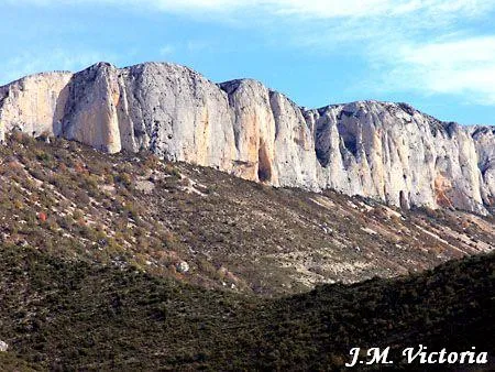
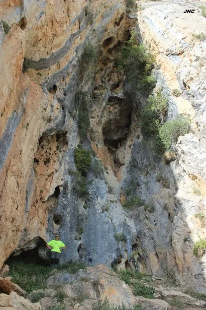
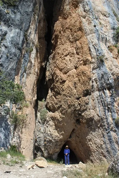
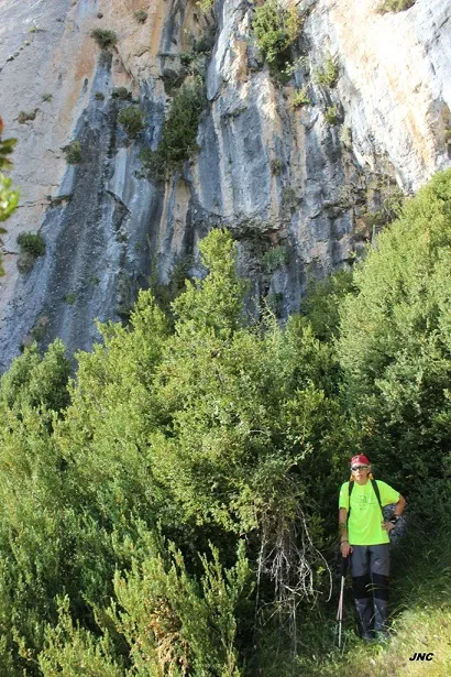
Photos
Espeleoindex · CC BY-NC 4.0, https://creativecommons.org/licenses/by-nc/4.0/ · Image © its author.
Description
Morphology
Entrance of 8x3 metres and a shaft 28 metres deep; the 9x4 metre base leads into a gallery sloping over a length of 14 metres, at the end of which there is a small 2-metre shaft.
Other details
The whole floor is full of chough guano (on the day of the exploration it was calculated that there were about a hundred of them); the layer of guano can be estimated at between two and three metres in the final shaft. At the base of the entrance shaft snow tends to accumulate.
History
This cavity was known since ancient times by the inhabitants of Abella d'Adons, who mentioned it to the colleagues of the ERE of the CEC during the campaign that they carried out in the serra de Sant Gervàs in 1965, but on that occasion it was not located.
Later, in 1986, the SIE of the CEA located and explored it, but found two "spits" on the outside, although in a place not very suitable for descending, without knowing in any case who the explorers were and whether they managed to explore it.
User Comments (0)
No comments yet.
Be the first to share your experience!
Registered Explorations (0)
No explorations registered yet.
Register your visit to this cave!
Bibliography
Rubinat, F.(1987).- "Graller de Sant Roc" Espeleosie (29):38-39. SIE-CE Àliga. Barcelona.
Nearby caves


Source: Espeleoindex (espeleoindex.com), modified. CC BY-NC 4.0, https://creativecommons.org/licenses/by-nc/4.0/